Kimball in McDowell County, West Virginia — The American South (Appalachia)
Coal Company Town
Kimball
— National Coal Heritage Trail —
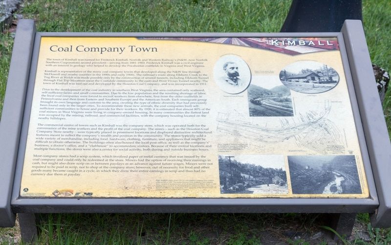
Kimball is representative of the many coal company towns that developed along the N&W line through McDowell and nearby counties in the 1890s and early 1900s. The railroad’s route along Elkhorn Creek to the Tug River at Welch was made possible only by the construction of several tunnels, including Elkhorn Tunnel through Flat Top Mountain (near the Coalsdale community to the east) and West Vivian Tunnel nearby. The town of Kimball was laid out and developed by the Houston Coal Company, and was incorporated in 1911.
Prior to the development of the coal industry in southern West Virginia, the area contained only scattered, self-sufficient farms and small communities. Due to the low population and the resulting shortage of labor, the local coal companies were forced to recruit workers from elsewhere, first from the older coalfields in Pennsylvania and then from Eastern and Southern Europe and the American South. Each immigrant group brought its own language and customs to the area, creating the type of ethnic diversity that had previously been found only in the larger cities. To accommodate these new arrivals, the coal companies built self-sufficient communities to house and provide for their workers. By 1920, it is estimated that almost 80% of the coal miners in West Virginia were living in company-owned housing. In many communities the flattest land was occupied by the mining, railroad, and commercial facilities, with the company housing located on the nearby hillslopes.
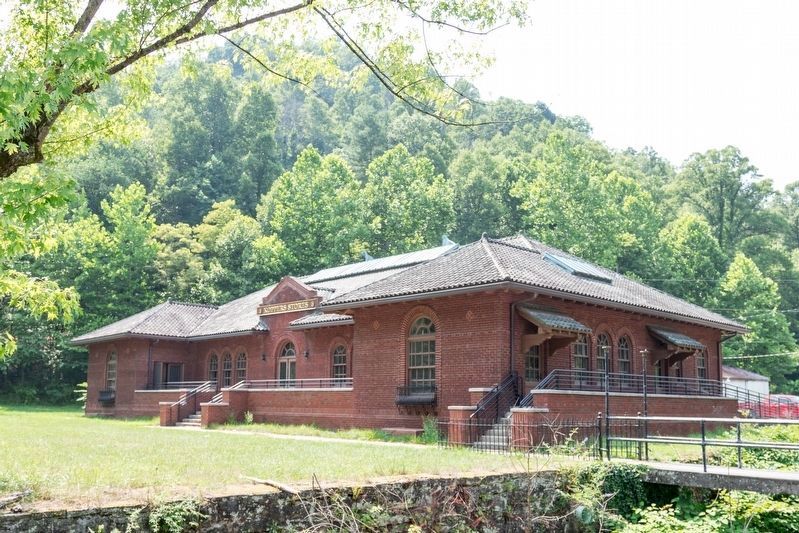
The commercial center of towns such as Kimball was the company store, which was operated both for the convenience of the mine workers and the profit of the coal company. The stores — such as the Houston Coal Company Store nearby — were typically placed in prominent locations and displayed distinctive architectural features meant to reflect the company’s wealth and position in the community. The stores typically sold a wide variety of merchandise, including food, hardware, clothing, furniture, and appliances that might be difficult to obtain otherwise. The buildings often also housed the local post office, as well as the company’s business, a doctor’s office, and a “clubhouse” to accommodate visitors. Because of their central locations and multiple functions, the stores were also a center for social activity, both during and outside business hours.
Most company stores had a scrip system, which involved
paper or metal currency that was issued by the coal company and could only be redeemed at the store. Miners had the option of receiving their earnings in cash, but might also draw scrip on or between paydays as an advance against future wages. Miners were not required to be paid in scrip, nor to shop at the company store; however, out of necessity for food and other goods many became caught in a cycle, in which they drew their entire earnings in scrip and thus had no currency due them at payday.
Erected by National Coal Highway Authority, the U.S. Department of Transporatation Federal Highway Administration, and Norfolk Southern.
Topics. This historical marker is listed in these topic lists: Industry & Commerce • Natural Resources. A significant historical year for this entry is 1911.
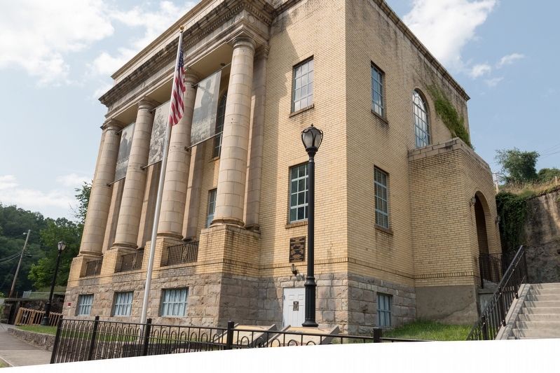
Location. 37° 25.506′ N, 81° 30.378′ W. Marker is in Kimball, West Virginia, in McDowell County. Marker is on Main Street (U.S. 52) 0.2 miles south of Lavania Street, on the left when traveling south. It is at the World War Memorial building. Touch for map. Marker is in this post office area: Kimball WV 24853, United States of America. Touch for directions.
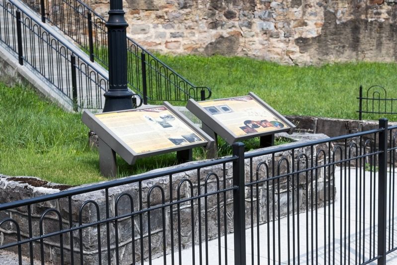
Other nearby markers. At least 8 other markers are within walking distance of this marker. Heartland Corridor Project (here, next to this marker); World War I Memorial (a few steps from this marker); 2991–2992 Floods (about 600 feet away, measured in a direct line);
African Americans (about 600 feet away); Houston Company Store (about 600 feet away); Kimball War Memorial (about 600 feet away); Frederick Kimball (about 600 feet away); Carswell Mining Complex (approx. 0.4 miles away). Touch for a list and map of all markers in Kimball.
More about this marker. Five photographs surround a reproduction of a map that is captioned “Norfolk & Western valuation map for Kimball and vicinity; originally 1910s; note Koppers Coal Company property at lower left and Houston Collieries Company above it. The five photographs are captioned as follows, clockwise from top:
- Portrait of Frederick Kimball
- A train passes along Elkhorn Creek near Kimball.
- N&W Depot
- Photograph of Kimball (1935) taken by the Farm Security Administration.
- Kimball’s Main Street (US-52) with Koppers company store complex visible on left in 1941; the nearby Houston (later Koppers) Coal Company Store—located at the intersection of US-52 and Carswell Hollow Road—is still standing and is listed on the National Register of Historic Places. This one-story brick building was built about 1923, and is one of the best preserved coal company stores in southern West Virginia.
Credits. This page was last revised on August 5, 2021. It was originally submitted on August 5, 2021, by J. J. Prats of Powell, Ohio. This page has been viewed 189 times since then and 29 times this year. Photos: 1, 2, 3. submitted on August 5, 2021, by J. J. Prats of Powell, Ohio. 4. submitted on August 3, 2021, by J. J. Prats of Powell, Ohio.


