Ashland in McDowell County, West Virginia — The American South (Appalachia)
Ashland Coal and Coke
— National Coal Heritage Trail —
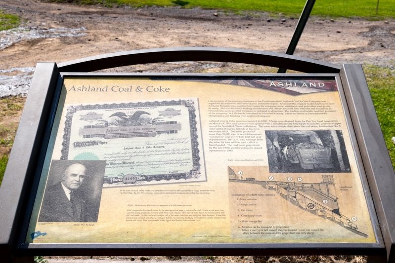
Ashland Coal & Coke was incorporated in 1892. A lease was obtained from the Flat Top Land Association on March 18, 1893, and the mine was opened with a wooden gravity-feed tipple to load the coal into hopper cars of the Norfolk & Western Railway. The mine was a simple drift, since the coal seam, Pocahontas No. 3, outcropped along the hillside at five feet, ten inches thick. The mine produced more than 30,000 tons of semi bituminous “smokeless” coal in 1894, its first full year of production. By 1935, total tonnage from the mine hit four million tons — all of it hand loaded. The coal seam played out by the late 1970s and the company ceased operations in 1980.
(sidebar)
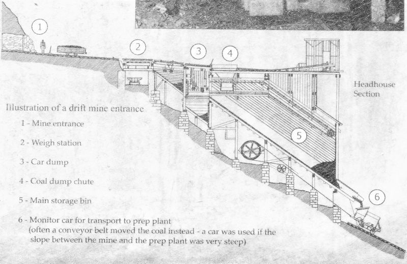
Coal companies developed mines in the most practical way to extract the coal. When a coal seam was exposed along a hillside, a simple drift mine was created—this type of mine has a horizontal entry into the coal seam. As the coal was brought out of the mine, each car was weighed and dumped. From this point it was moved, usually by conveyor belt to a processing building (preparation plant), where it was sorted and sized, then transported to the tipple and loaded into railroad cars.
Erected by National Coal Highway Authority and America’s Byways.
Topics. This historical marker is listed in this topic list: Natural Resources. A significant historical date for this entry is March 18, 1893.
Location. 37° 24.53′ N, 81° 21.231′ W. Marker is in Ashland, West Virginia, in McDowell County. Marker is on Cherokee Road (County Route 17) 5.8 miles east of Coal Heritage Road in Northfork (U.S. 52), on the right when traveling east. Touch for map. Marker is in this post office area: Northfork WV 24868, United States of America. Touch for directions.
Other nearby markers. At least 8 other markers are within 7 miles of this marker, measured as the crow flies. Young Miners (here, next to this marker); The Company Store (here, next to this marker); No Work Tomorrow (here, next to this marker); Miners’ Pay (a few steps from this marker); Elizabeth Simpson Drewry (approx. 4.6 miles away); Bramwell (approx. 6.1 miles away); Mill Creek Coal & Coke Co. (approx. 6.1 miles away); The Coal Barons (approx. 6.2 miles away). Touch for a list and map of all markers in Ashland.
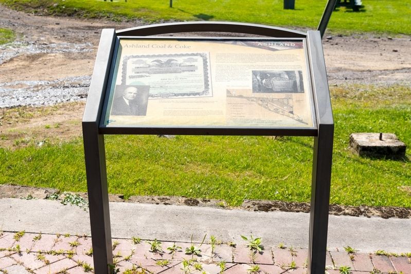
More about this marker. This interpretive panel has an image of a stock certificate for Ashland Coal & Coke Company, two photographs and a diagram of a drift type of mine. The photograph on the right is a portrait of W. J. Richards. On the left is a 1925 photograph of miners hand-loading coal.

Photographed By J. J. Prats, July 24, 2021
4. National Coal Heritage Area Trail Interpretive Stop, Ashland WV
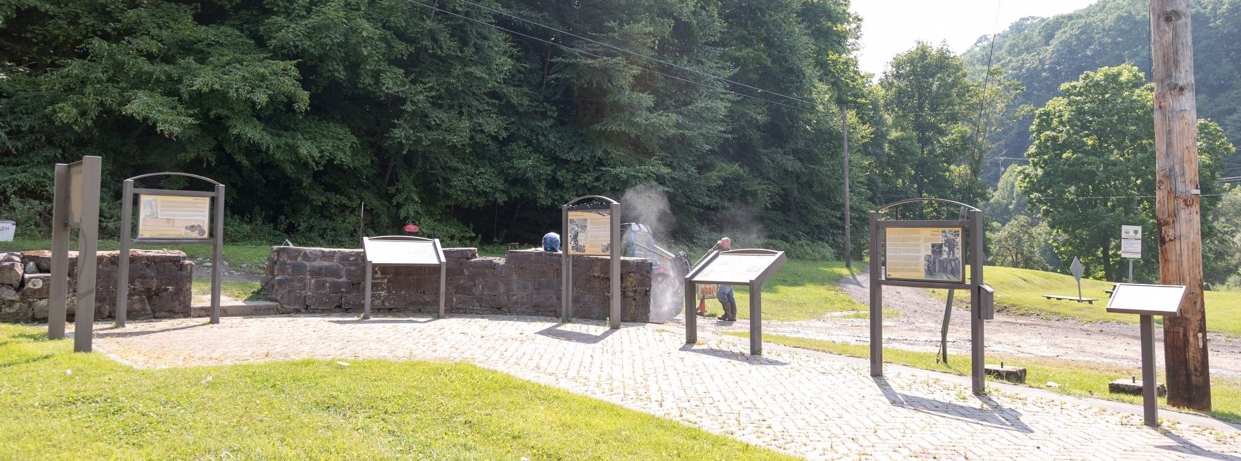
The sign all the way to the left shown in profile is not a historical marker. It is the sign for the Interpretive stop. The small sign on a single post all the way on the right has a map of the Coal Heritage Trail and lists points of interest along the trail.
This historical marker is the third sign from the right.
Credits. This page was last revised on August 6, 2021. It was originally submitted on August 6, 2021, by J. J. Prats of Powell, Ohio. This page has been viewed 559 times since then and 103 times this year. Photos: 1, 2, 3, 4. submitted on August 6, 2021, by J. J. Prats of Powell, Ohio.


