Near Ouray in Ouray County, Colorado — The American Mountains (Southwest)
Boom Towns
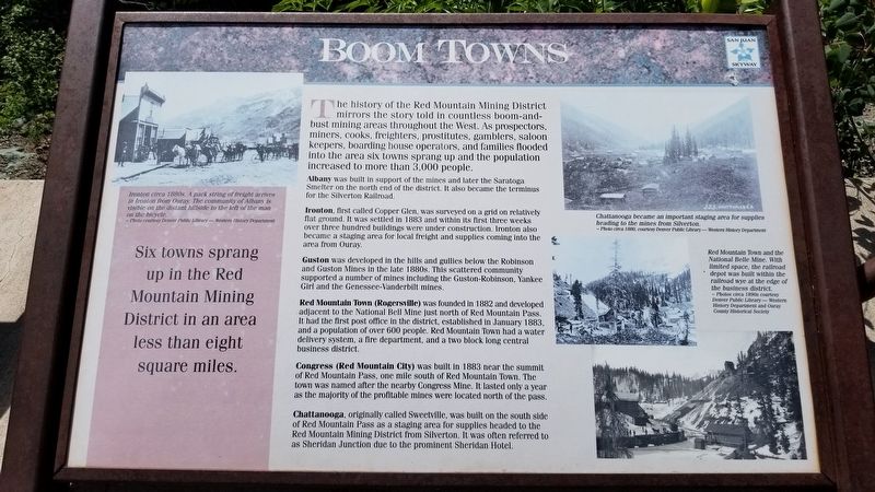
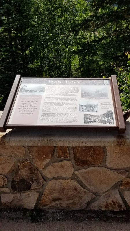
The history of the Red Mountain Mining District mirrors the story told in countless boom-and-bust mining areas throughout the West. As prospectors, miners, cooks, freighters, prostitutes, gamblers, saloon keepers, boarding house operators, and families flooded into the area six towns sprang up and the population increased to more than 3,000 people.
Albany was built in support of the mines and later the Saratoga Smelter on the north end of the district. It also became the terminus for the Silverton Railroad.
Ironton, first called Copper Glen, was surveyed on a grid on relatively flat ground. It was settled in 1883 and within its first three weeks over three hundred buildings were under construction. Ironton also became a staging area for local freight and supplies coming into the area from Ouray.
Guston was developed in the hills and gullies below the Robinson and Guston Mines in the late 1880s. This scattered community supported a number of mines including the Guston-Robinson, Yankee Girl and the Genessee-Vanderbilt mines.
Red Mountain Town (Rogersville) was founded in 1882 and developed adjacent to the National Bell Mine just north of Red Mountain Pass. It had the first post office in the district, established in January 1883, and a population of over 600 people. Red Mountain Town had a water delivery system, a fire department, and a two block long central business district.
Congress (Red Mountain City) was built in 1883 near the summit of Red Mountain Pass, one mile south of Red Mountain Town. The town was named after the nearby Congress Mine. It lasted only a year as the majority of the profitable mines were located north of the pass.
Chattanooga, originally called Sweetville, was built on the south side of Red Mountain Pass as a staging area for supplies headed to the Red Mountain Mining District from Silverton. It was often referred to as Sheridan Junction due to the prominent Sheridan Hotel.
Six towns sprang up in the Red Mountain Mining District in an area less than eight square miles.
Captions
Upper left: Ironton circa 1880s. A pack string of freight arrives in Ironton from Ouray. The community of Albany is visible on the distant hillside to the left of the man on the bicycle. - Photo courtesy Denver Public Library - Western History Department
Upper right, top: Chattanooga became an important staging area for supplies heading to the mines from Silverton. - Photo circa 1880, courtesy Denver Public Library - Western History Department
Upper right, middle: Red Mountain Town and the National Belle Mine. With limited
space, the railroad depot was built within the railroad wye at the edge of the business district. - Photos circa 1890s courtesy Denver Public Library - Western History Department and Ouray County Historical Society
Erected by USDA Forest Service, Colorado Historical Society.
Topics. This historical marker is listed in these topic lists: Industry & Commerce • Settlements & Settlers. A significant historical month for this entry is January 1883.
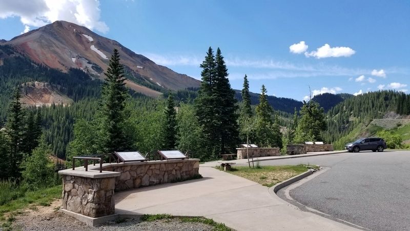
Location. 37° 54.918′ N, 107° 42.066′ W. Marker is near Ouray, Colorado, in Ouray County. Marker is on Million Dollar Highway (U.S. 550) 2 miles south of County Highway 30, on the left when traveling north. The marker is located at a small scenic road side park. Touch for map. Marker is in this post office area: Ouray CO 81427, United States of America. Touch for directions.
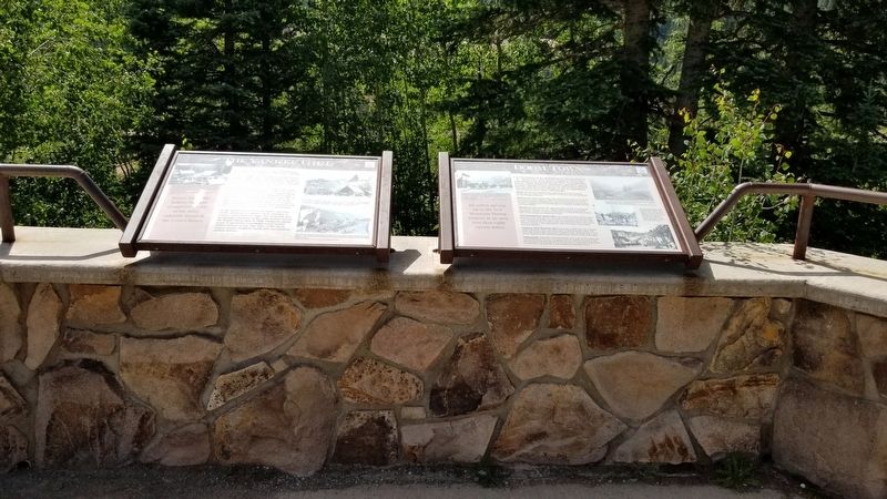
Other nearby markers. At least 8 other markers are within walking distance of this marker. The Yankee Girl (here, next to this marker); The Idarado Mine (a few steps from this marker); Reclaiming the Land (a few steps from this marker); The Heart of the Red Mountains (a few steps from this marker); The Silverton Railroad (a few steps from this marker); The Treasury Tunnel (within shouting distance of this marker); Mine Reclamation Improves Water Quality (within shouting distance of this marker); Idarado Houses (about 300 feet away, measured in a direct line). Touch for a list and map of all markers in Ouray.
Credits. This page was last revised on August 7, 2021. It was originally submitted on August 7, 2021, by James Hulse of Medina, Texas. This page has been viewed 149 times since then and 10 times this year. Photos: 1, 2, 3, 4. submitted on August 7, 2021, by James Hulse of Medina, Texas.


