Hollins in Roanoke County, Virginia — The American South (Mid-Atlantic)
Roanoke County
⎯⎯⎯
Botetourt County
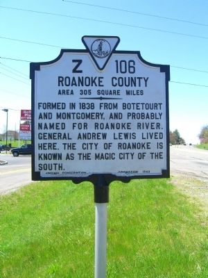
Photographed by Kevin W., April 12, 2009
1. Roanoke County Marker
Roanoke County. Area 305 Square Miles. Formed in 1838 from Botetourt and Montgomery, and probably named for the Roanoke River. General Andrew Lewis lived here. The city of Roanoke is known as the Magic City of the South.
Botetourt County. Area 548 Square Miles. Formed in 1769 from Augusta, and named for Lord Botetourt, Governor of Virginia 1768-70. Buchanan was the western terminus of the noted James River and Kanawha Canal.
Erected 1940 by Virginia Conservation Commission. (Marker Number Z-106.)
Topics and series. This historical marker is listed in this topic list: Political Subdivisions. In addition, it is included in the Virginia Department of Historic Resources (DHR) series list. A significant historical year for this entry is 1838.
Location. 37° 21.329′ N, 79° 55.795′ W. Marker is in Hollins, Virginia, in Roanoke County. It is at the intersection of Williamson Road (U.S. 11) and Summerview Drive, on the right when traveling north on Williamson Road. Touch for map. Marker is in this post office area: Roanoke VA 24019, United States of America. Touch for directions.

Regionally, this marker is in the Mountain
this page online
Other nearby markers. At least 8 other markers are within 5 miles of this marker, measured as the crow flies: Hollins College (approx. 0.6 miles away); a different marker also named Old Carolina Road (approx. 1.6 miles away); a different marker also named Cloverdale Furnace (approx. 1.7 miles away); Daleville College (approx. 3.4 miles away); Dr. William Fleming (approx. 3.4 miles away); Botetourt County / Roanoke County (approx. 4 miles away); Mount Moriah Baptist Church (approx. 4.2 miles away); Brown-Robertson Park and the Flood of 1985 (approx. 4.8 miles away).
Other markers no longer nearby. Old Carolina Road (was approx. 1.6 miles away but has been replaced with another marker now near it); Cloverdale Furnace (was
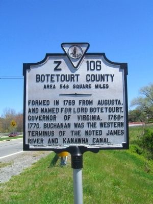
Photographed by Kevin W., April 12, 2009
2. Botetourt County Marker
Regarding Roanoke County / Botetourt County. Botetourt is pronounced BOT ah tot.
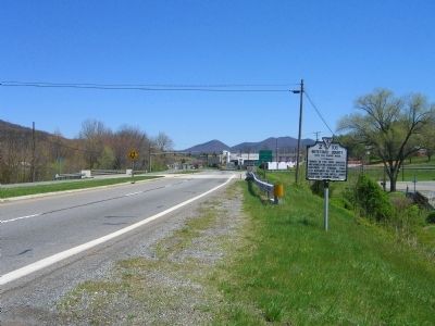
Photographed by Kevin W., April 12, 2009
3. Roanoke County / Botetourt County Marker
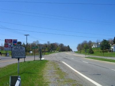
Photographed by Kevin W., April 12, 2009
4. Roanoke County / Botetourt County Marker
Photographed by Kevin W., April 12, 2009
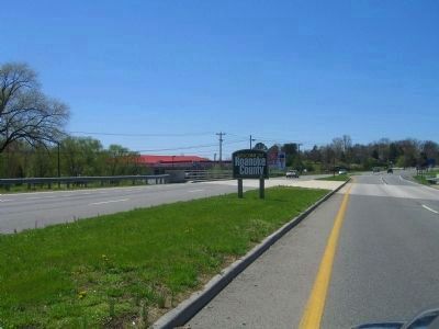
5. Welcome to Roanoke County Sign
Marker can be seen in the background.
Credits. This page was last revised on July 9, 2021. It was originally submitted on April 13, 2009, by Kevin W. of Stafford, Virginia. This page has been viewed 1,256 times since then and 45 times this year. Photos: 1, 2, 3, 4, 5. submitted on April 13, 2009, by Kevin W. of Stafford, Virginia.
