Near Cleveland in Liberty County, Texas — The American South (West South Central)
Burton B. Tarkington
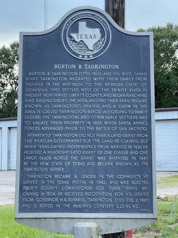
Burton B. Tarkington (1790-1861) and his wife Sarah Berry Tarkington migrated with their family from Indiana in the mid-1820s to the Mexican state of Coahuila. They settled west of the Trinity River in present northwest Liberty County, and began ranching and raising crops. The area around their farm became known as Tarkington's Prairie, and a creek in the area is called Tarkington Bayou. According to family legend, the Tarkingtons and other early settlers had to vacate their property in 1836 when Santa Anna's forces advanced prior to the Battle of San Jacinto.
Apparently Tarkington did not have a land grant from the Mexican government for the land he claimed, but when Texas gained independence from Mexico in 1836 he received a headright land grant of one league and one labor (4,605 acres). The grant was patented in 1847 by the new state of Texas and became known as the Tarkington Survey.
Tarkington became a leader in the community. He served in the Texas Militia in 1842, and was elected Liberty County commissioner for three terms beginning in 1854. He received recognition for his service from Governor H. R. Runnels. Tarkington died Feb. 2, 1861, and is buried in the McGinnis Cemetery (.25 mi. W).
Erected 1996 by Texas Historical Commission. (Marker Number 9689.)
Topics. This historical marker is listed in this topic list: Settlements & Settlers.
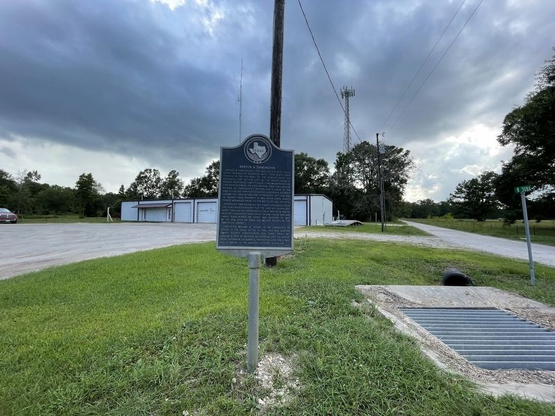
Location. 30° 18.73′ N, 94° 59.373′ W. Marker is near Cleveland, Texas, in Liberty County. Marker is on State Highway 321, on the right when traveling south. Touch for map. Marker is at or near this postal address: 22353 TX-321, Cleveland TX 77327, United States of America. Touch for directions.
Other nearby markers. At least 8 other markers are within 7 miles of this marker, measured as the crow flies. The Schools of Tarkington Prairie (approx. 1˝ miles away); Old Wells' Store (approx. 1˝ miles away); Oak Shade Baptist Church (approx. 3.8 miles away); Daniel Donahoe Original Homestead (approx. 3.8 miles away); John Cherry (approx. 5.7 miles away); Ryan Cemetery (approx. 5.8 miles away); Tom Hill House (approx. 6.1 miles away); Korean Conflict Memorial (approx. 6.2 miles away). Touch for a list and map of all markers in Cleveland.
Also see . . . Tarkington Prairie, TX - The Handbook of Texas Online. Texas State Historical Association (TSHA) (Submitted on August 9, 2021, by Brian Anderson of Humble, Texas.)
Credits. This page was last revised on August 9, 2021. It was originally submitted on August 9, 2021, by Brian Anderson of Humble, Texas. This page has been viewed 378 times since then and 61 times this year. Photos: 1, 2. submitted on August 9, 2021, by Brian Anderson of Humble, Texas.

