Near Cleveland in Liberty County, Texas — The American South (West South Central)
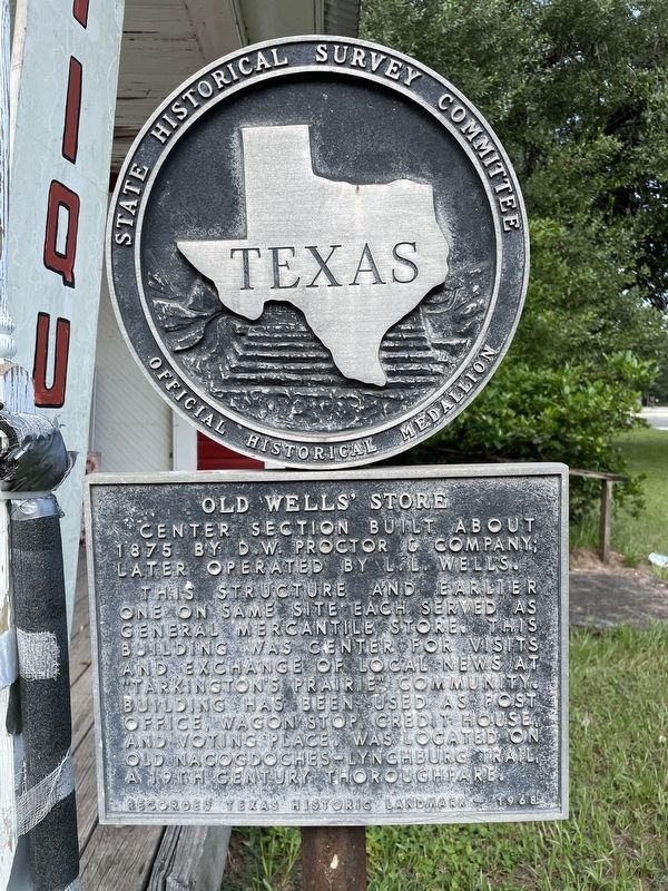
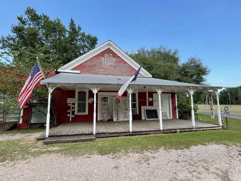
Old Wells' Store
Center section built about 1875 by D. W. Proctor & Company; later operated by L. L. Wells.
This structure and earlier one on same site each served as general mercantile store. This building was center for visits and exchange of local news at "Tarkington's Prairie" community. Building has been used as post office, wagon stop, credit house, and voting place. Was located on Old Nacogdoches-Lynchburg Trail, a 19th century thoroughfare.
Recorded Texas Historic Landmark - 1968
Erected 1968 by State Historical Survey Committee. (Marker Number 9692.)
Topics. This historical marker is listed in this topic list: Industry & Commerce. A significant historical year for this entry is 1875.
Location. 30° 17.564′ N, 94° 58.683′ W. Marker is near Cleveland, Texas, in Liberty County. Marker is at the intersection of State Highway 321 and County Road 2274, on the right when traveling south on State Highway 321. Touch for map. Marker is in this post office area: Cleveland TX 77327, United States of America. Touch for directions.
Other nearby markers. At least 8 other markers are within 8 miles of this marker, measured as the crow flies. The Schools of Tarkington Prairie (approx. 1˝ miles away); Burton B. Tarkington (approx. 1˝ miles away); John Cherry (approx. 4.3 miles away); Ryan Cemetery (approx. 4.3 miles away); Oak Shade Baptist Church (approx. 5.2 miles away); Daniel Donahoe Original Homestead (approx. 5.2 miles away); Tom Hill House (approx. 7.3 miles away); Korean Conflict Memorial (approx. 7.3 miles away). Touch for a list and map of all markers in Cleveland.
Credits. This page was last revised on August 9, 2021. It was originally submitted on August 9, 2021, by Brian Anderson of Humble, Texas. This page has been viewed 290 times since then and 31 times this year. Photos: 1, 2. submitted on August 9, 2021, by Brian Anderson of Humble, Texas.

