Sanford in Seminole County, Florida — The American South (South Atlantic)
Vanished Sanford
Sanford est. 1877
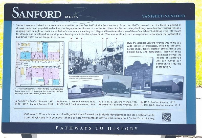
Sanford Avenue thrived as a commercial corridor in the first half of the 20th century. From the 1960’s onward the city faced a period of disinvestment and population decline, due largely to the closure of the Sanford Naval Air Station. Many buildings were lost for various reasons ranging from demolition, to fire, and lack of maintenance lead to collapse. Often times the sites of these “vanished” buildings were left vacant for decades or developed as parking lots, leaving a void in the urban fabric. The area outlined on the map below represents the footprint of buildings which are no longer in existence.
Over the decades Sanford Avenue was home to a wide variety of businesses, including groceries, barber shops, tailors, doctor’s offices, dance and billiard halls, and restaurants. Many of these businesses served the needs of Sanford’s African American communities during segregation.
* The earliest records available for the buildings listed below date to 1917. It is likely that a number of these buildings were constructed prior to then.
A. 301-307 S. Sanford Avenue, 1922 • B. 309-311 S. Sanford Avenue, 1920 • C. 313-317 S. Sanford Avenue, 1917 • D. 319 S. Sanford Avenue, 1920 • E. 321-329 S. Sanford Avenue, 1917 F. 302-304 S. Sanford Avenue, 1909 • G, 308-316 S. Sanford Avenue, 1917 • H. 318-326 S. Sanford Avenue, 1917
Erected by City of Sanford.
Topics. This historical marker is listed in these topic lists: African Americans • Industry & Commerce • Settlements & Settlers. A significant historical year for this entry is 1917.
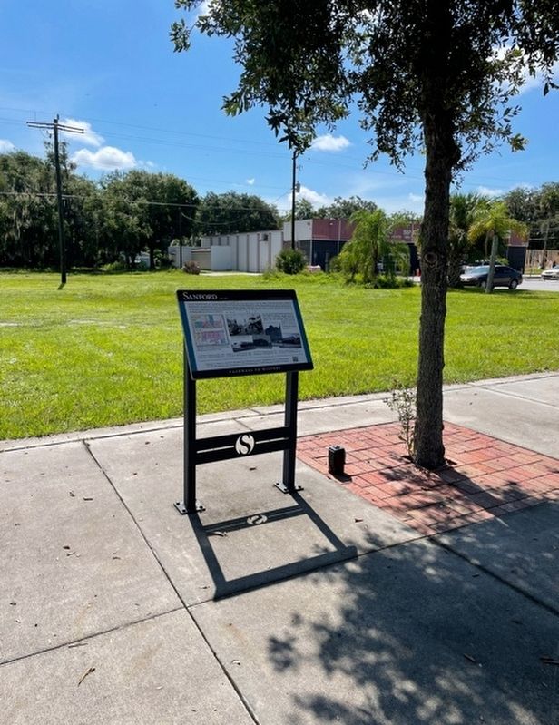
Location. 28° 48.591′ N, 81° 15.894′ W. Marker is in Sanford, Florida, in Seminole County. Marker is at the intersection of Sanford Avenue and East 3rd Street, on the right when traveling north on Sanford Avenue. This marker is included in Sanford’s Pathways To History Tour. Touch for map. Marker is at or near this postal address: 301 Sanford Avenue, Sanford FL 32773, United States of America. Touch for directions.
Other nearby markers. At least 8 other markers are within walking distance of this marker. Georgetown (within shouting distance of this marker); Sanford Est. 1877 (within shouting distance of this marker); Businesses (within shouting distance of this marker); Sanford Avenue (about 400 feet away, measured in a direct line); Sanford & Tucker (about 400 feet away); Historical Figures (about 500 feet away); The E. E. Brady Livery Stable (about 600 feet away); Early City Development (about 600 feet away). Touch for a list and map of all markers in Sanford.
Credits. This page was last revised on August 13, 2021. It was originally submitted on August 9, 2021, by Brandon D Cross of Flagler Beach, Florida. This page has been viewed 149 times since then and 21 times this year. Photos: 1, 2. submitted on August 9, 2021, by Brandon D Cross of Flagler Beach, Florida. • Devry Becker Jones was the editor who published this page.

