Near Cleveland in Liberty County, Texas — The American South (West South Central)
The Schools of Tarkington Prairie
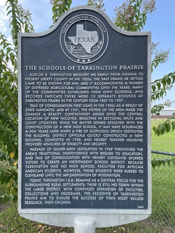
Talk of consolidation first came in the 1920s as a result of state mandates, and by 1931, the voters of the area made the change a reality. Controversy arose over the central location of new facilities, resulting in sectional splits and court litigation. While the matter seemed resolved with the construction of a new high school, it may have resurfaced a few years later when a fire of suspicious origin destroyed the building. District officials quickly constructed a new building, completed in 1938, and nearby teacher housing provided measures of stability and security.
Passage of Gilmer-Aikin legislation in 1949 threatened the area's traditional independence with regard to education, and talk of consolidation with nearby Cleveland spurred voters to create an Independent School District. Because Tarkington had no high school facilities for African American students, however, those students were bussed to Cleveland until the implementation of integration.
Today, Tarkington I.S.D. remains as a central focus for the surrounding rural settlements; there is still no town within the large district. With continued expansion of facilities, collections and programs, the residents of Tarkington Prairie aim to ensure the success of their most valued resource, their children.
Erected 2003 by Texas Historical Commission. (Marker Number 12910.)
Topics. This historical marker is listed in this topic list: Education. A significant historical year for this entry is 1931.
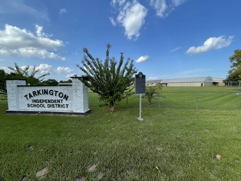
Location. 30° 18.625′ N, 94° 57.863′ W. Marker is near Cleveland, Texas, in Liberty County. Marker is at the intersection of Farm to Market Road 163 and County Road 2268, on the left when traveling east on Road 163. Touch for map. Marker is at or near this postal address: 2770 FM 163, Cleveland TX 77327, United States of America. Touch for directions.
Other nearby markers. At least 8 other markers are within 8 miles of this marker, measured as the crow flies. Old Wells' Store (approx. 1˝ miles away); Burton B. Tarkington (approx. 1˝ miles away); Oak Shade Baptist Church (approx. 4.4 miles away); Daniel Donahoe Original Homestead (approx. 4.4 miles away); Ryan Cemetery (approx. 5˝ miles away); John Cherry (approx. 5˝ miles away); Tom Hill House (approx. 7.6 miles away); Korean Conflict Memorial (approx. 7.6 miles away). Touch for a list and map of all markers in Cleveland.
Credits. This page was last revised on November 17, 2021. It was originally submitted on August 9, 2021, by Brian Anderson of Humble, Texas. This page has been viewed 226 times since then and 25 times this year. Photos: 1, 2. submitted on August 10, 2021, by Brian Anderson of Humble, Texas.

