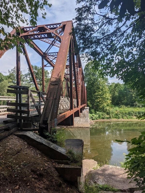
Near Seebert in Pocahontas County, West Virginia — The American South (Appalachia)
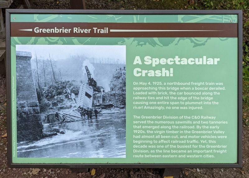
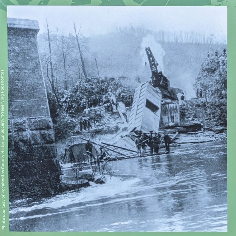
A Spectacular Crash!
Greenbrier River Trail
The Greenbrier Division of the C&O Railway served the numerous sawmills and two tanneries that emerged along the railroad. By the early 1920s, the virgin timber in the Greenbrier Valley had almost all been cut, and motor vehicles were beginning to affect railroad traffic. Yet, this decade was one of the busiest for the Greenbrier Division, as the line became an important freight route between eastern and western cities.
Photo courtesy of Pocahontas County Historical Society "Preserving Pocahontas"
Erected by Greenbrier River Trail.
Topics. This historical marker is listed in these topic lists: Disasters • Railroads & Streetcars. A significant historical date for this entry is May 4, 1925.
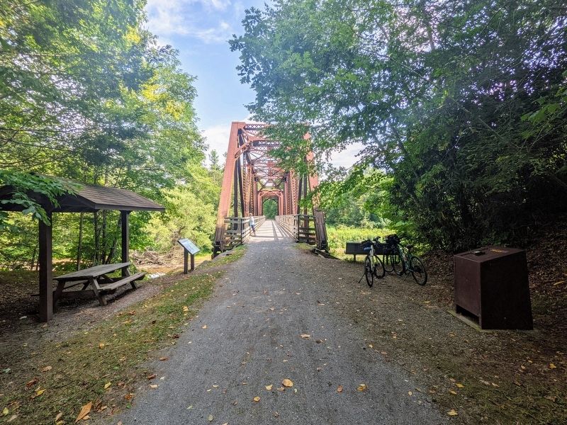
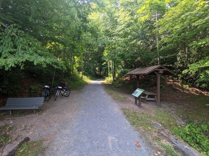
Location. 38° 8.495′ N, 80° 8.997′ W. Marker is near Seebert, West Virginia, in Pocahontas County. Marker is on Greenbrier River Trail, 0.9 miles north of Seebert Road (County Route 27), on the left when traveling north. Touch for map. Marker is in this post office area: Marlinton WV 24954, United States of America. Touch for directions.
Other nearby markers. At least 8 other markers are within 3 miles of this marker, measured as the crow flies. Home for a Separatist Community (approx. 0.2 miles away); William L. "Mudwall" Jackson (approx. 1.9 miles away); Battle Of Mill Point (approx. 2 miles away); Anna Wallace (approx. 2 miles away); Mill Point (approx. 2 miles away); Yankee Army Camp (approx. 2.9 miles away); Birthplace of Pearl S. Buck (approx. 2.9 miles away); Union Camp (approx. 2.9 miles away).
Also see . . .
1. Preserving Pocahontas. (Submitted on August 13, 2021.)
2. Greenbrier River Trail. West Virginia State Parks (Submitted on August 13, 2021.)
Credits. This page was last revised on August 13, 2021. It was originally submitted on August 11, 2021, by Bernard Fisher of Richmond, Virginia. This page has been viewed 200 times since then and 29 times this year. Photos: 1. submitted on August 11, 2021, by Bernard Fisher of Richmond, Virginia. 2. submitted on August 13, 2021, by Bernard Fisher of Richmond, Virginia. 3. submitted on August 11, 2021, by Bernard Fisher of Richmond, Virginia. 4, 5. submitted on August 13, 2021, by Bernard Fisher of Richmond, Virginia.
