Mount Hope in Fayette County, West Virginia — The American South (Appalachia)
Bailey Row
— The Dunloup Creek Watershed —
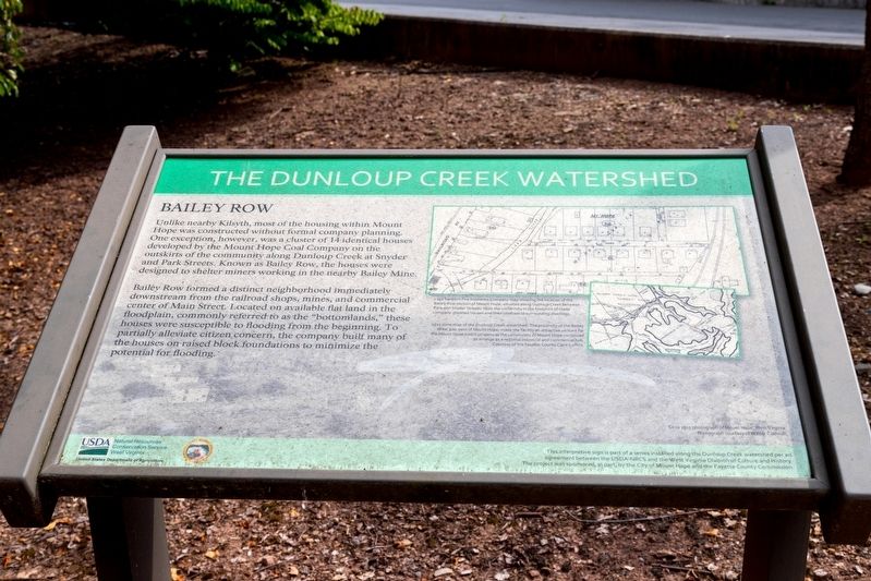
Bailey Row formed a distinct neighborhood immediately downstream from the railroad shops, mines, and commercial center of Main Street. Located on available flat land in the floodplain, commonly referred to as the “bottomlands,” these houses were susceptible to flooding from the beginning. To partially alleviate citizen concern, the company built many of the houses on raised block foundations to minimize the potential for flooding.
Erected by United States Department of Agriculture Natural Resources Conservation Service West Virginia, and the West Virginia Division of Culture and History with the City of Mount Hope and the Fayette County Commission.
Topics. This historical marker is listed in these topic lists: Architecture • Industry & Commerce • Notable Places.
Location. 37° 53.556′ N, 81° 10.081′ W. Marker is in Mount Hope, West Virginia, in Fayette County. Marker is on Main Street (West Virginia Route 211) just east of South Center Street, on the left when traveling west. Touch for map. Marker is at or near this postal address: 706 Main St, Mount Hope WV 25880, United States of America. Touch for directions.
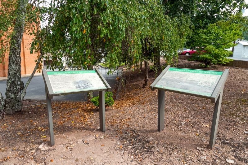
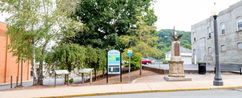
Other nearby markers. At least 8 other markers are within walking distance of this marker. Historic Mount Hope Walking Tour (here, next to this marker); A Commercial Center (here, next to this marker); World War I Memorial (here, next to this marker); The Coming of the Railroads (approx. ¼ mile away); New River Coalfield (approx. ¼ mile away); Phoenix City of the New River (approx. ¼ mile away); Mine Safety (approx. ¼ mile away); The Coal Companies (approx. ¼ mile away). Touch for a list and map of all markers in Mount Hope.
More about this marker. This interpretive panel is illustrated with a photograph used as the background and two maps. They are captioned as follows, “circa 1915 photograph of Mount Hope, West Virginia. Photograph courtesy of Walter Caldwell,” “1932 Sanborn Fire Insurance Company map showing the location of the Bailey Row section of Mount Hope, situated along the Dunloup Creek between Park and Snyder Streets. Note the uniformity in the footprint of these company-planned houses and their contrast to surrounding dwellings,“ and “1925 mine map of the Dunloup Creek watershed. The proximity of the Bailey Mine, just west of Mount
Hope, made the facility an attractive venture for the Mount Hope Coal Company as the community of Mouth Hope continued to emerge as a regional industrial and commercial hub. Courtesy of the Fayette County Clerk’s office.”
Credits. This page was last revised on August 13, 2021. It was originally submitted on August 13, 2021, by J. J. Prats of Powell, Ohio. This page has been viewed 168 times since then and 18 times this year. Photos: 1, 2, 3. submitted on August 13, 2021, by J. J. Prats of Powell, Ohio.


