Near Cleveland in Upshur County, West Virginia — The American South (Appalachia)
Webster County / Upshur County
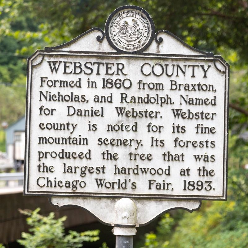
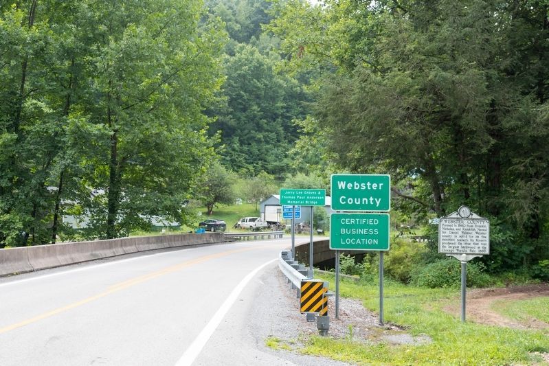
Webster County. Formed in 1860 from Braxton, Nicholas, and Randolph. Named for Daniel Webster. Webster County is noted for its fine mountain scenery. Its forests produced the tree that was the largest hardwood at the Chicago World’s Fair, 1893.
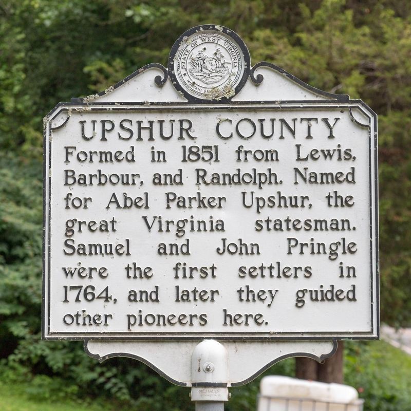
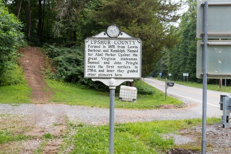
Upshur County. Formed in 1851 from Lewis, Barbour, and Randolph. Named for Abel Parker Upshur, the great Virginia statesman. Samuel and John Pringle were the first settlers in1764, and later they guided other pioneers here.
Erected by West Virginia Department of Archives and History.
Topics and series. This historical marker is listed in these topic lists: Political Subdivisions • Settlements & Settlers. In addition, it is included in the West Virginia Archives and History series list. A significant historical year for this entry is 1860.
Location. 38° 43.816′ N, 80° 23.26′ W. Marker is near Cleveland, West Virginia, in Upshur County. Marker is on Mountain Highway (West Virginia Route 20) 0.4 miles north of the community of Cleveland, on the left when traveling north. It is at the county line. Touch for map. Marker is in this post office area: Cleveland WV 26215, United States of America. Touch for directions.
Other nearby markers. At least 8 other markers are within 8 miles of this marker, measured as the crow flies. Cleveland (approx. 0.4 miles away); Old Sulphur Spring (approx. 3.2 miles away); The Springhouse (approx. 3.2 miles away); Fort Pickens / Engagements of Co. A (approx. 4.4 miles away); Hacker Valley (approx. 5.4 miles away); Lewis County / Braxton County (approx. 7 miles away); Fort Pickens (approx. 7.3 miles away); Veterans Memorial (approx. 8 miles away).
Photographed By J. J. Prats, July 26, 2021
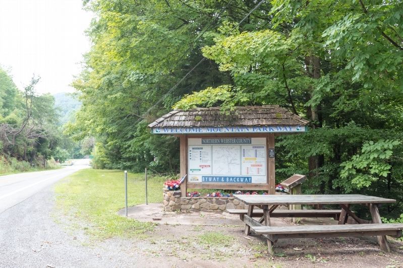
5. Rest Stop Just Inside Webster County
Mountain Parkway welcome kiosk highlights northern Webster County. The brass plaque on the stand to the right of the kiosk quotes a poem by Mrs. Ellen King titled “West Virginia Hills.”
Oh, the hills, beautiful hills,
How I love those West Virginia hills!
If o’er sea o’er land I roam,
Still I’ll think of happy home,
And my friends among the
West Virginia hills.
Credits. This page was last revised on August 14, 2021. It was originally submitted on August 14, 2021, by J. J. Prats of Powell, Ohio. This page has been viewed 164 times since then and 24 times this year. Photos: 1, 2, 3, 4, 5. submitted on August 14, 2021, by J. J. Prats of Powell, Ohio.
