Near Belington in Randolph County, West Virginia — The American South (Appalachia)
Upshur County / Randolph County
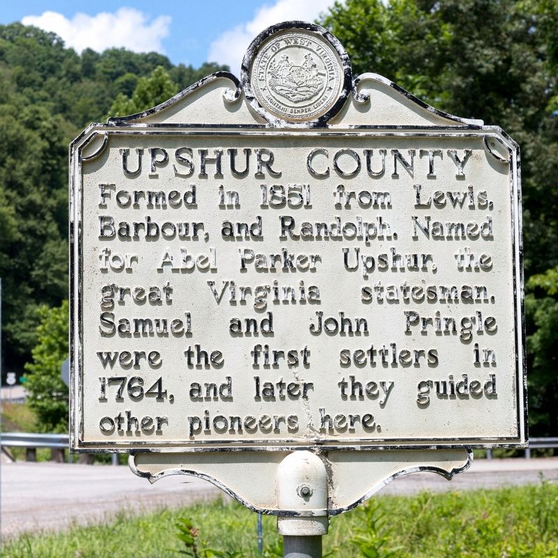
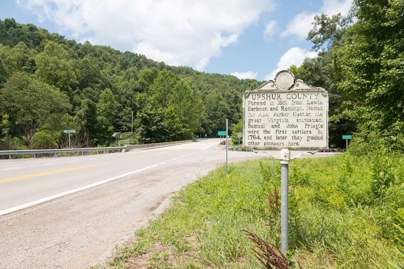
Upshur County. Formed in 1851 from Lewis, Barbour, and Randolph. Named for Abel Parker Upshur, the great Virginia statesman. Samuel and John Pringle were the first settlers in 1764, and later they guided other pioneers here.
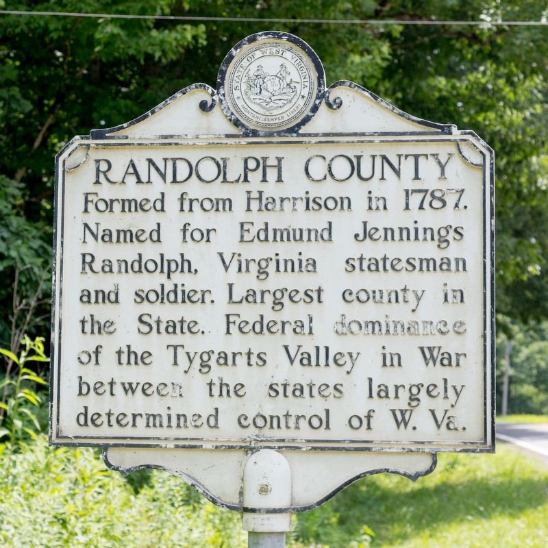
Randolph County. Formed from Harrison in 1787. Named for Edmund Jennings Randolph, Virginia statesman and soldier. largest county in the State. Federal dominance of the Tygarts Valley in War between the states largely determined control of West Virginia.
Erected by West Virginia Division of Archives & History.
Topics and series. This historical marker is listed in this topic list: Political Subdivisions. In addition, it is included in the West Virginia Archives and History series list. A significant historical year for this entry is 1851.
Location. 38° 55.063′ N, 80° 5.316′ W. Marker is near Belington, West Virginia, in Randolph County. Marker is at the intersection of Buckhannon Pike (old U.S. 33) (West Virginia Route 151) and Lantz Road (County Route 13), on the left when traveling south on Buckhannon Pike (old U.S. 33). It is just before the Middle Fork River bridge. Touch for map. Marker is in this post office area: Belington WV 26250, United States of America. Touch for directions.
Other nearby markers. At least 8 other markers are within 8 miles of this marker, measured as the crow flies. Battle of Middle Fork Bridge (about 500 feet away, measured in a direct line); Jimtown / Phillips Cemetery (approx. 4.7 miles away); Crawford Scott (approx. 6.6 miles away); Barbour County / Randolph County (approx. 7.1 miles away); General George B. McClellan (approx. 7.9 miles away); Camp Garnett (approx. 7.9 miles away); Staunton-Parkersburg Turnpike (approx. 7.9 miles away); Fortifications (approx. 7.9 miles away).
Credits. This page was last revised on August 15, 2021. It was originally submitted on August 15, 2021, by J. J. Prats of Powell, Ohio. This page has been viewed 149 times since then and 26 times this year. Photos: 1, 2, 3. submitted on August 15, 2021, by J. J. Prats of Powell, Ohio.


