Near Bruce in Brookings County, South Dakota — The American Midwest (Upper Plains)
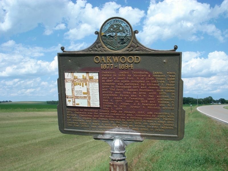
Oakwood
1877-1894
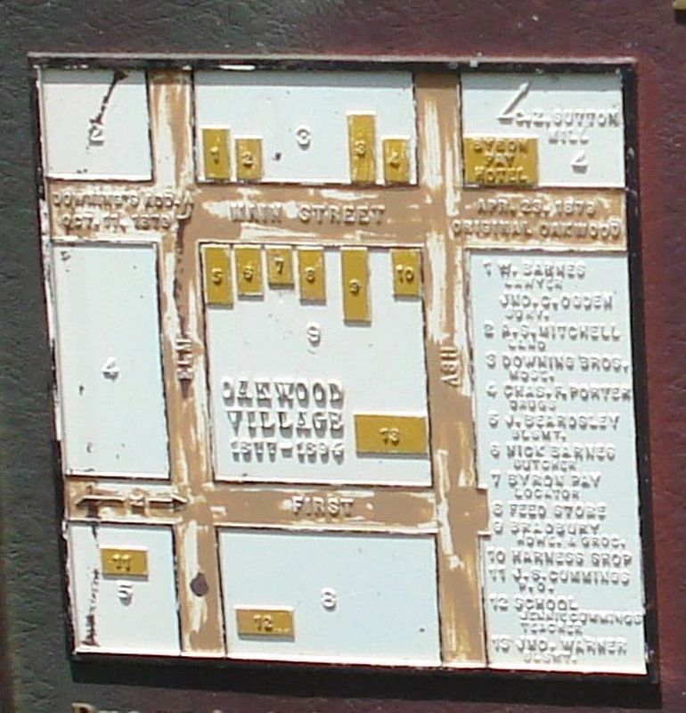
Preceded in Brookings County only by Medary, 1857, and re-settled in 1871, Oakwood was the second community and, connected by stage with Medary, Flandreau and the south, it was a thriving community. Platted by John C. Ogden for Joshua Downing in April 1879 it was a stage stop for Goodwin and Gary until in the fall of 1879 the Dakota Central reached Volga 7 miles S and there was an exodus for the railhead. The Post Office was discontinued in 1894, mail going to Bruce.
Erected 1960 by Kin of Arthur S. Mitchell and State Historical Society. (Marker Number 279.)
Topics and series. This historical marker is listed in this topic list: Settlements & Settlers. In addition, it is included in the South Dakota State Historical Society Markers series list. A significant historical year for this entry is 1838.
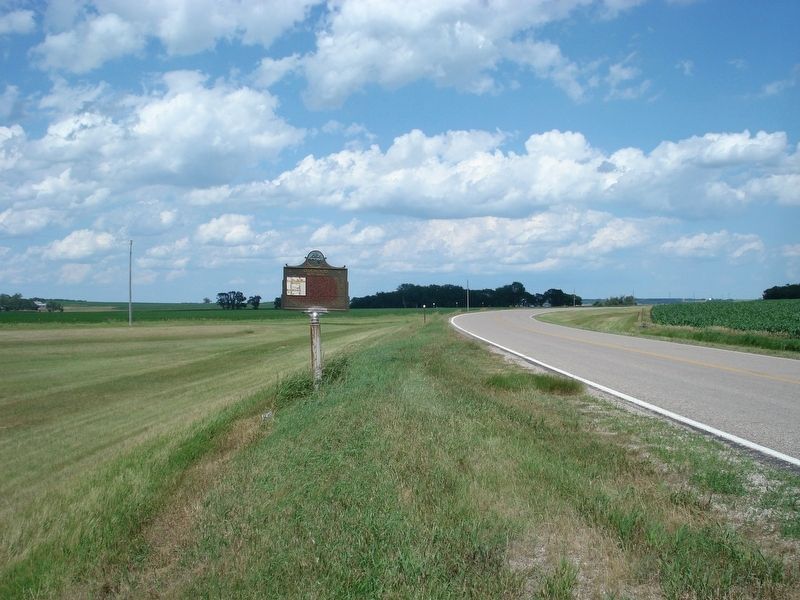
Location. 44° 25.623′ N, 96° 57.445′ W. Marker is near Bruce, South Dakota, in Brookings County. Marker is on County Road 6, half a mile west of 163rd Avenue, on the right when traveling west. Touch for map. Marker is in this post office area: Bruce SD 57220, United States of America. Touch for directions.
Other nearby markers. At least 8 other markers are within 3 miles of this marker, measured as the crow flies. Sutton Home Site (approx. 1.3 miles away); Hessel and Charlotte Houtman Family Farm (approx. 1˝ miles away); What is this earthen wall? (approx. 1.7 miles away); Oakwood Lakes State Park (approx. 1.7 miles away); Oakwood Lakes Burial Mounds (approx. 2.2 miles away); Milkweed (approx. 2.3 miles away); Significant Site (approx. 2.3 miles away); Bur Oak (approx. 2.4 miles away). Touch for a list and map of all markers in Bruce.
Credits. This page was last revised on August 21, 2021. It was originally submitted on April 12, 2020, by Roger Dean Meyer of Yankton, South Dakota. This page has been viewed 290 times since then and 33 times this year. Last updated on August 18, 2021. Photos: 1, 2, 3. submitted on April 12, 2020, by Roger Dean Meyer of Yankton, South Dakota. • Mark Hilton was the editor who published this page.


