Galveston in Galveston County, Texas — The American South (West South Central)
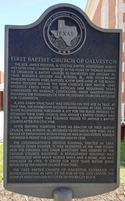
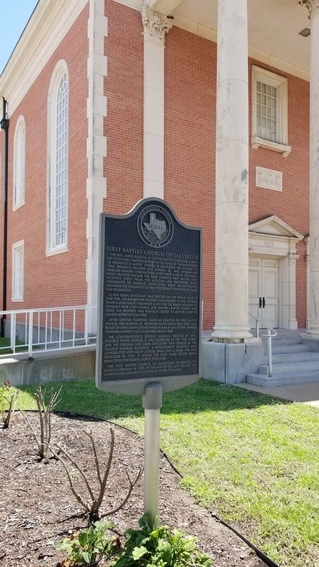
First Baptist Church of Galveston
A log cabin sanctuary was erected on this site in 1847. At that time, the membership included many slaves. In 1855, several white businessmen purchased a lot for the black members to establish their own church, and Avenue L Baptist Church was born. The property was formally deeded to Avenue L Baptist Church after the Civil War.
After serving fourteen years as deacon of First Baptist Church, Gail Borden, Jr., returned to his native New York. As a result of experiments begun while he was in Galveston, Borden obtained a patent for condensed milk in 1858.
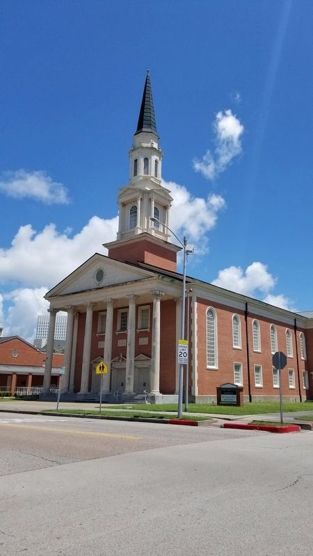
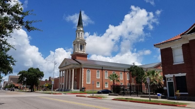
The congregation's second building, erected in 1883, featured seven steeples. It was destroyed in the 1900 storm, and the original log cabin sanctuary was crushed by the falling church building. A replacement building was constructed with heavy mortar walls and a dome, and was dedicated in 1905. It served for sixty years before being replaced by the fourth church structure.
The First Baptist Church of Galveston celebrated its sesquicentennial in 1990. By the end of the 20th century the complex had expanded to cover an entire city block.
Erected 1998 by Texas Historical Commission. (Marker Number 11888.)
Topics. This historical marker is listed in these topic lists: African Americans • Churches & Religion • Disasters • Industry & Commerce. A significant historical date for this entry is January 30, 1840.
Location. 29° 18.087′ N, 94° 47.541′ W. Marker is in Galveston, Texas, in Galveston County. Marker is at the intersection of 23rd Street and Sealy Avenue, on the right when traveling north on 23rd Street. The marker is located on the northwest corner of the church grounds by the street. Touch for map. Marker is at or near this postal address: 822 23rd Street, Galveston TX 77550, United States of America. Touch for directions.
Other nearby markers. At least 8 other markers are within walking distance of this marker. The Rosenberg Library (a few steps from this marker); The Eugenia & George Sealy Pavilion (about 400 feet away, measured in a direct line); The Galveston Movement (about 400 feet away); Congregation B'nai Israel Synagogue (about 400 feet away); Trinity Protestant Episcopal Church (about 400 feet away); Eaton Memorial Chapel (about 400 feet away); Al Edwards / Juneteenth Celebration (about 500 feet away); J.F. Smith House (about 600 feet away). Touch for a list and map of all markers in Galveston.
Also see . . .
1. Borden, Gail, Jr. (1801–1874).
After arriving at Galveston Island on December 24, 1829, he farmed and raised stock in upper Fort Bend County and spent some time in surveying. By February 1830 he had succeeded his brother, Thomas H. Borden, as surveyor for Stephen F. Austin's colony. In 1832 Borden was named one of three members of the San Felipe committee of correspondence. In the Convention of 1833 he represented Lavaca District. He also assumed many of the duties of colonial secretary for Austin in the absence of Samuel M. Williams.(Submitted on August 22, 2021, by James Hulse of Medina, Texas.)
Source: The Handbook of Texas
2. 1900 Galveston hurricane.
The Great Galveston hurricane, known regionally as the Great Storm of 1900, was the deadliest natural disaster in United States history and the fifth-deadliest Atlantic hurricane overall. The hurricane left between 6,000 and 12,000 fatalities in the United States; the number most cited in official reports is 8,000. Most of these deaths occurred in and near Galveston, Texas, after storm surge inundated the coastline with 8 to 12 ft (2.4 to 3.7 m) of water. In addition to the number killed, the storm destroyed about 7,000 buildings of all uses in Galveston, which included 3,636 demolished homes; every dwelling in the city suffered some degree of damage. The hurricane left approximately 10,000 people in the city homeless, out of a total population of fewer than 38,000. The disaster ended the Golden Era of Galveston, as the hurricane alarmed potential investors, who turned to Houston instead. In response to the storm, three engineers designed and oversaw plans to raise the Gulf of Mexico shoreline of Galveston island by 17 ft (5.2 m) and erect a 10 mi (16 km) seawall.(Submitted on August 22, 2021, by James Hulse of Medina, Texas.)
Source: Wikipedia
Credits. This page was last revised on August 22, 2021. It was originally submitted on August 22, 2021, by James Hulse of Medina, Texas. This page has been viewed 370 times since then and 68 times this year. Photos: 1, 2, 3, 4. submitted on August 22, 2021, by James Hulse of Medina, Texas.


