Near South Hill in Mecklenburg County, Virginia — The American South (Mid-Atlantic)
Brunswick County / Mecklenburg County
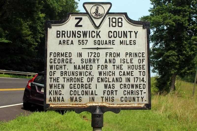
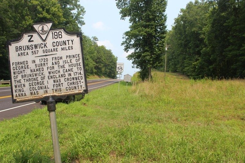
Brunswick County. Area 557 Square Miles. Formed in 1720 from Prince George, Surry and Isle of Wight. Named for the House of Brunswick, which came to the throne of England in 1714, when George I was crowned king. Colonial Fort Christanna was located in this county.
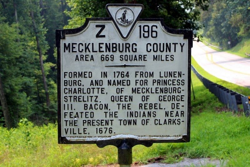
Mecklenburg County. Area 669 Square Miles. Formed in 1764 from Lunenburg, and named for Princess Charlotte, of Mecklenburg-Strelitz, Queen of George III. Bacon, the rebel, defeated the Indians near the present town of Clarksville, 1676.
Erected 1937 by Conservation & Development Commission. (Marker Number Z-196.)
Topics. This historical marker is listed in this topic list: Political Subdivisions. A significant historical year for this entry is 1720.
Location. 36° 46.267′ N, 78° 1.886′ W. Marker is near South Hill, Virginia, in Mecklenburg County. Marker is on U.S. 1, 0.2 miles west of B & D Lane, on the right when traveling north. Marker is on the county line. Touch for map. Marker is in this post office area: South Hill VA 23970, United States of America. Touch for directions.
Other nearby markers. At least 8 other markers are within 6 miles of this marker, measured as the crow flies. Brunswick County, Virginia (a few steps from this marker); Staunton River Raid (approx. 2.1 miles away); The American Thoroughbred in Brunswick (approx. 3.4 miles away); Rolling Post Office (approx. 3.9 miles away); Mecklenburg County / Brunswick County (approx. 4˝ miles away); Broadnax (approx. 4.7 miles away); Tobacco As a Way of Life (approx. 4.7 miles away); Bridges of Brunswick County (approx. 5.2 miles away).
Credits. This page was last revised on August 23, 2021. It was originally submitted on August 22, 2021, by Tim Fillmon of Webster, Florida. This page has been viewed 126 times since then and 25 times this year. Last updated on August 22, 2021, by Bradley Owen of Morgantown, West Virginia. Photos: 1, 2, 3. submitted on August 22, 2021, by Tim Fillmon of Webster, Florida. • Devry Becker Jones was the editor who published this page.


