Altus in Jackson County, Oklahoma — The American South (West South Central)
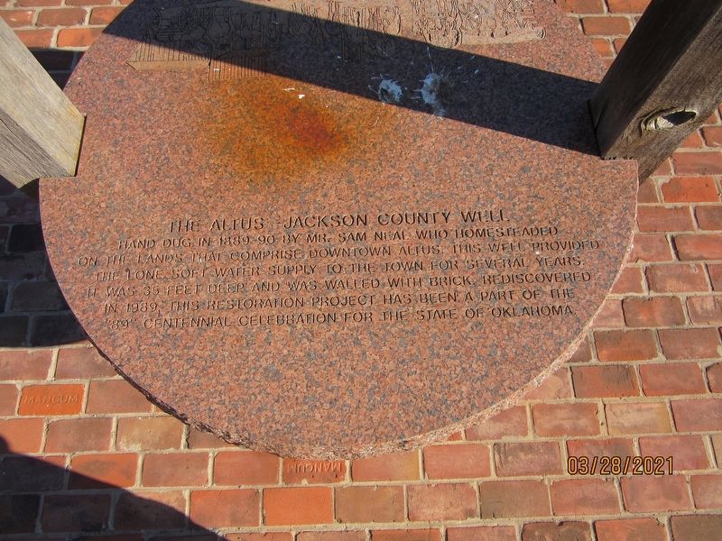
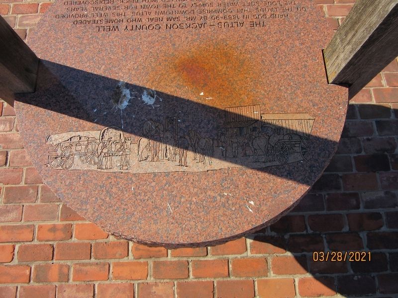
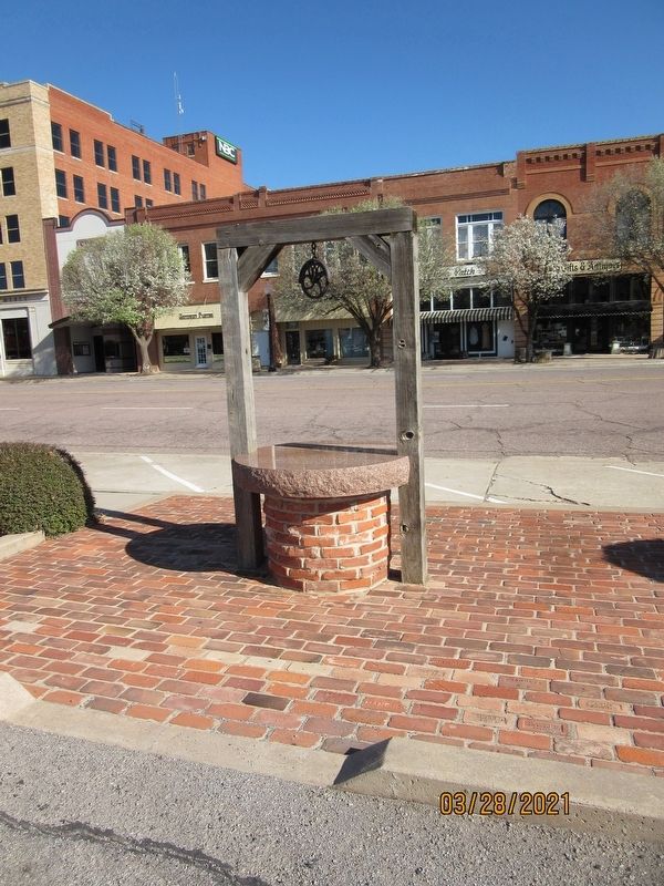
The Altus Jackson County Well
Hand dug in 1889-90 by Mr. Sam Neal who homesteaded on the lands that comprise downtown Altus. This well provided the lone soft water supply to the town for several years. It was 35 feet deep and was walled with brick. Rediscovered in 1989, this restoration project has been a part of the "89" centennial celebration for the state of Oklahoma.
Topics. This historical marker is listed in these topic lists: Charity & Public Work • Settlements & Settlers. A significant historical year for this entry is 1889.
Location. 34° 38.327′ N, 99° 20.076′ W. Marker is in Altus, Oklahoma, in Jackson County. Marker is on W Commerce Street west of N Main Street, on the left when traveling west. Touch for map. Marker is at or near this postal address: 101 N Main Street, Altus OK 73521, United States of America. Touch for directions.
Other nearby markers. At least 3 other markers are within 18 miles of this marker, measured as the crow flies. The Great Western Cattle Trail (approx. 3.8 miles away); Friendship / Western Cattle Trail (approx. 7.2 miles away); Site of Beginning Trip of Abernathy Boys to New York City in 1910 (approx. 17˝ miles away).
Credits. This page was last revised on August 30, 2021. It was originally submitted on August 22, 2021, by Jason Armstrong of Talihina, Oklahoma. This page has been viewed 151 times since then and 33 times this year. Photos: 1, 2, 3. submitted on August 22, 2021, by Jason Armstrong of Talihina, Oklahoma. • Bill Pfingsten was the editor who published this page.


