Bridgewater in McCook County, South Dakota — The American Midwest (Upper Plains)
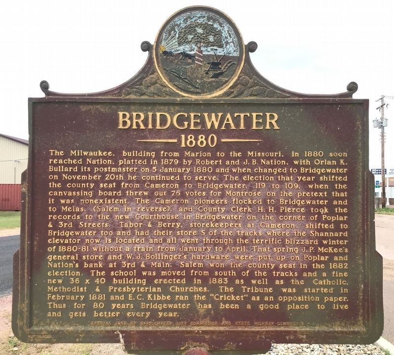
Bridgewater
1880
August 22, 2021
1. Bridgewater Marker
this page online
Erected 1959 by Bridgewater City Commission and State Highway Commission. (Marker Number 275.)
Topics and series. This historical marker is listed in this topic list: Settlements & Settlers. In addition, it is included in the South Dakota State Historical Society Markers series list. A significant historical date for this entry is November 20, 1880.
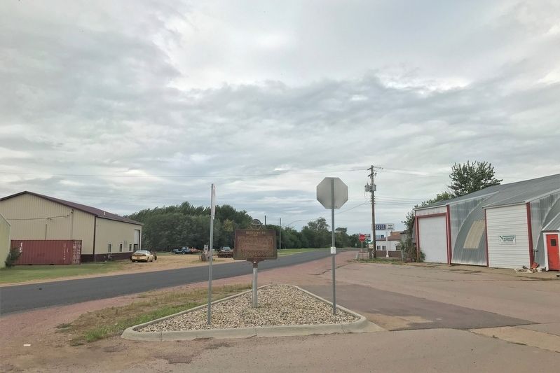
Location. 43° 32.977′ N, 97° 30.148′ W. Marker is in Bridgewater, South Dakota, in McCook County. It is at the intersection of North Main Avenue and State Route 262, on the left when traveling north on North Main Avenue. Touch for map. Marker is in this post office area: Bridgewater SD 57319, United States of America. Touch for directions.

Regionally, this marker is in East River and in Greater Sioux Falls. It is also in the American Midwest, in the Lewis & Clark Corridor, in the Corn Belt, on the prairies, and on the Northern Plains.
August 22, 2021
2. Bridgewater Marker in Bridgewater
Other nearby markers. At least 8 other markers are within 14 miles of this marker, measured as the crow flies: Bridgewater Cemetery Veterans Memorial (approx. 0.4 miles away); Salem Rest Area (approx. 9 miles away); Purple Heart Memorial Highway (approx. 9.2 miles away); Our Congregations (approx. 9.4 miles away); Spencer Tornado Memorial (approx. 13 miles away); Roll of Honor (approx. 13.1 miles away); St. Mary's Catholic Church (approx. 13½ miles away); McCook County Courthouse Veterans Memorial (approx. 13.6 miles away).
Credits. This page was last revised on August 23, 2021. It was originally submitted on August 22, 2021. This page has been viewed 717 times since then and 99 times this year. Photos: 1, 2. submitted on August 23, 2021. • Mark Hilton was the editor who published this page.
