Hague in Warren County, New York — The American Northeast (Mid-Atlantic)
The Working Side of Hague
Lakes to Locks Passage
— Lake George Region —
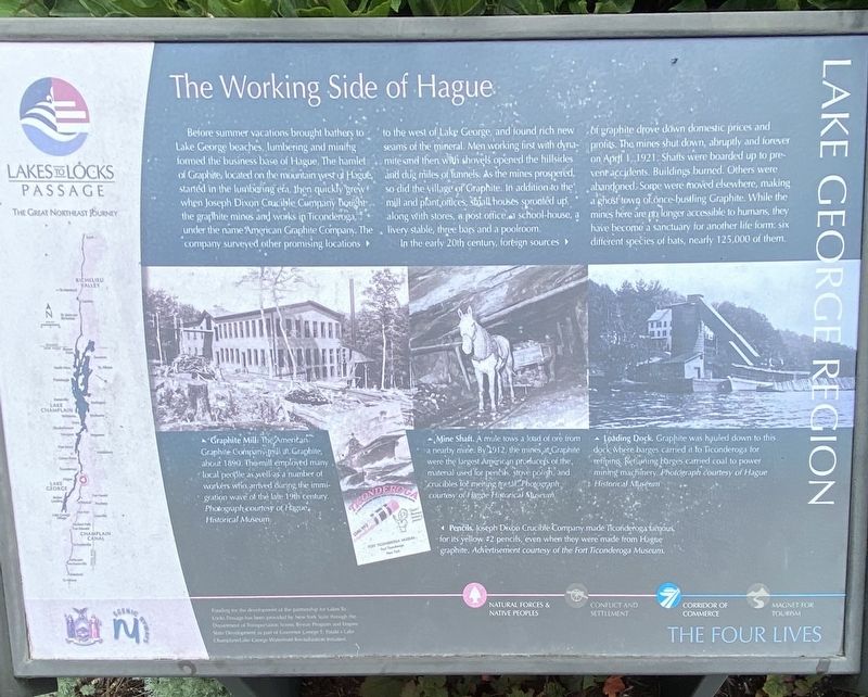
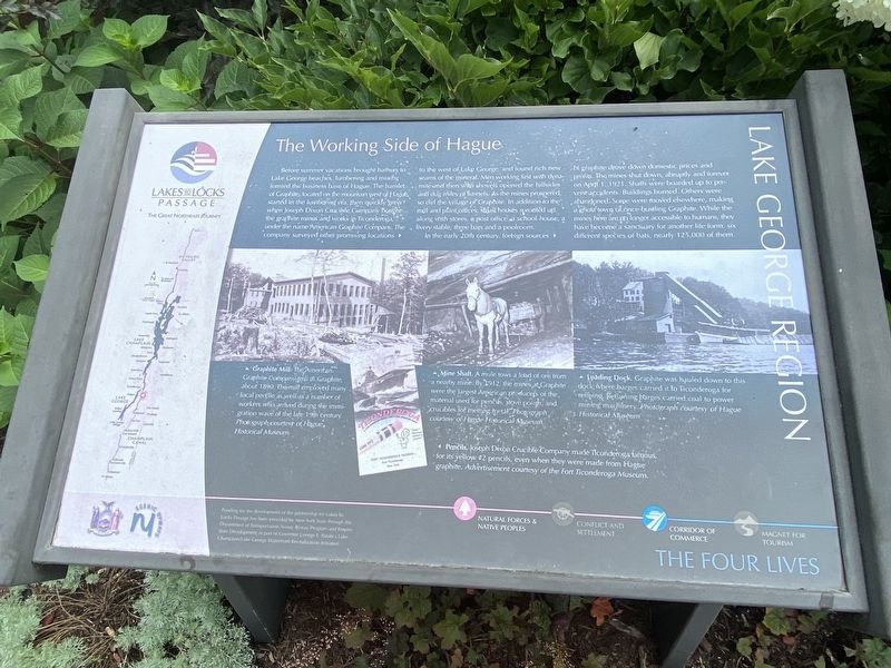
Before summer vacations brought bathers to Lake George beaches, lumbering and mining formed the business base of Hague. The hamlet of Graphite, located on the mountain west of Hague started in the lumbering era, then quickly grew when Joseph Dixon Crucible Company bought the graphite mines and works in Ticonderoga, under the name American Graphite Company. The company surveyed other promising locations to the west of Lake George, and found rich seams of the mineral. Men working first with dynamite and then with shovels opened the hillsides and dug miles of tunnels. As the mines prospered, so did the village of Graphite. In addition to mill and plant offices, small houses sprouted up, along with stores, a post office, a school-house, livery stable, three bars and a poolroom.
In the early 20th century, foreign sources of graphite drove down domestic prices and profits. The mines shut down, abruptly and forever on April 1, 1921. Shafts were boarded up to prevent accidents. Buildings burned. Others were abandoned. Some were moved elsewhere, making a ghost town of once-bustling Graphite. While the mines here are no longer accessible to humans, they have become a sanctuary for another life form: six different species of bats, nearly 125,000 of them.
Graphite Mill The American Graphite Company mill at Graphite, about 1890. The mill employed many local people as well as a number of workers who arrived during the immigration wave of the late 19th century. Photograph courtesy of Hague Historical Museum.
Mine Shaft A mule tows a load of ore from a nearby mine. By 1912, the mines at Graphite were the largest American producers of the material used for pencils, stove polish, and crucibles for melting metal. Photograph courtesy of Hague Historical Museum.
Loading Dock Graphite was hauled down to this dock where barges carried it to Ticonderoga for refining. Returning barges carried coal to power mining machinery. Photograph courtesy of Hague Historical Museum.
Pencils Joseph Dixon Crucible Company made Ticonderoga famous for its yellow #2 pencils, even when they weren’t made from Hague graphite. Advertisement courtesy of the Fort Ticonderoga Museum.
Funding for the development of the partnership tor Lakes To Locks Passage has been provided by New York State through the Department of Transportation Scenic Byway Program and Empire State Development as part of Governor George E. Pataki's Lake Champlain Lake George Waterfront Revitalization Initiative.
Erected by New York State, NY Scenic Byways.
Topics. This historical marker is listed in these topic lists: Industry & Commerce • Settlements & Settlers. A significant historical year for this entry is 1921.
Location. 43° 44.678′ N, 73° 29.919′ W. Marker is in Hague, New York, in Warren County. Marker is on Lake Shore Drive (New York State Route 9N) just south of Graphite Mountain Road (New York State Route 8), on the right when traveling north. Touch for map. Marker is at or near this postal address: 9060 Lake Shore Dr, Hague NY 12836, United States of America. Touch for directions.
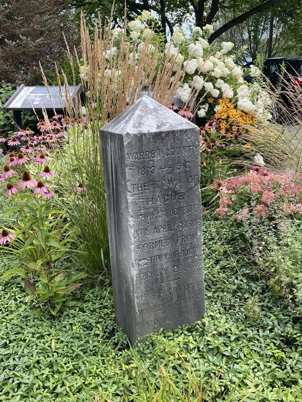
Other nearby markers. At least 8 other markers are within walking distance of this marker. The Wreck of the Steamboat John Jay (here, next to this marker); Legendary Rocks (here, next to this marker); Town of Hague Centennial (here, next to this marker); Garfield's Hotel & Tavern (within shouting distance of this marker); The Dairy Building (about 500 feet away, measured in a direct line); The Hague Market (about 500 feet away); Hague Central School (approx. 0.3 miles away); Hague Heritage Cemetery (approx. half a mile away). Touch for a list and map of all markers in Hague.
Credits. This page was last revised on August 25, 2021. It was originally submitted on August 25, 2021, by Steve Stoessel of Niskayuna, New York. This page has been viewed 391 times since then and 31 times this year. Photos: 1, 2, 3. submitted on August 25, 2021, by Steve Stoessel of Niskayuna, New York. • Bill Pfingsten was the editor who published this page.


