Bridgeport in Wise County, Texas — The American South (West South Central)
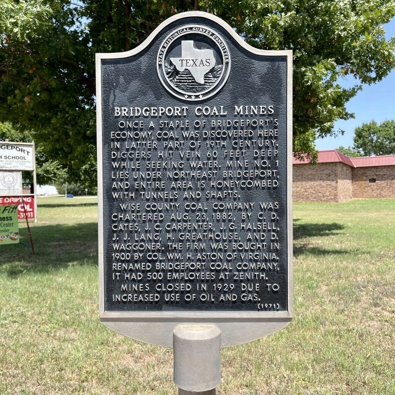
Bridgeport Coal Mines
Once a staple of Bridgeport's economy, coal was discovered here in later part of 19th century. Diggers hit vein 60 feet deep while seeking water. Mine No. 1 lies under northeast Bridgeport, and entire area is honeycombed with tunnels and shafts.
Wise County Coal Company was chartered August 23, 1882, by C. D. Cates, J. C. Carpenter, J. G. Halsell, J. J. Lang, H. Greathouse, and D. Waggoner. The firm was bought in 1900 by Colonel William H. Aston of Virginia. Renamed Bridgeport Coal Company, it had 500 employees at Zenith.
Mines closed in 1929 due to increased use of oil and gas.
Erected 1971 by State Historical Survey Committee. (Marker Number 506.)
Topics. This historical marker is listed in this topic list: Industry & Commerce.
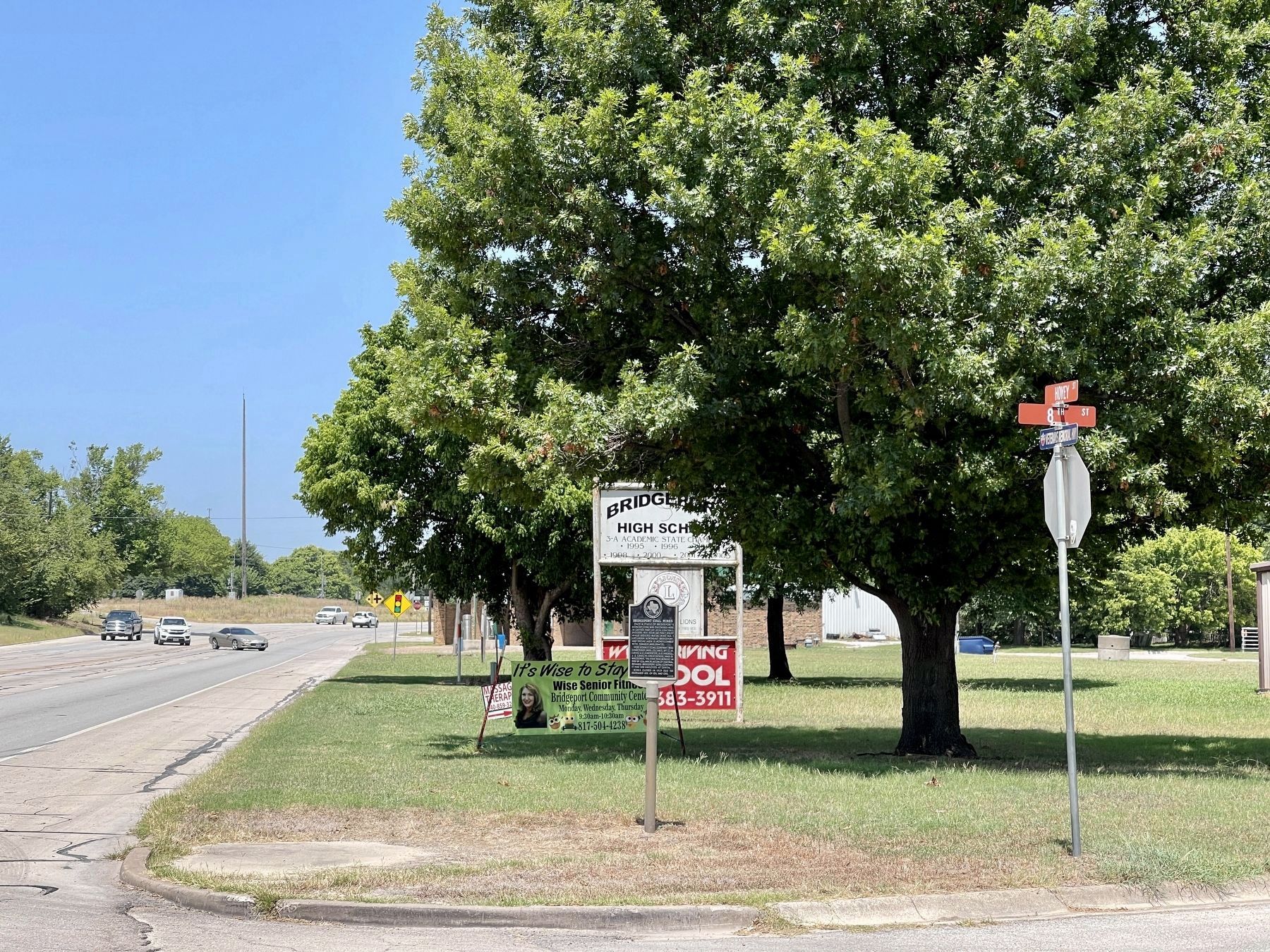
Location. 33° 12.517′ N, 97° 45.633′ W. Marker is in Bridgeport, Texas, in Wise County. Marker is at the intersection of Hovey Street (State Road 114) and 8th Street, on the right when traveling west on Hovey Street. This marker is across 8th Street from Harwood Park. Touch for map. Marker is in this post office area: Bridgeport TX 76426, United States of America. Touch for directions.
Other nearby markers. At least 8 other markers are within 6 miles of this marker, measured as the crow flies. Bridgeport Lodge No. 587, A.F. & A.M. (approx. 0.2 miles away); First Baptist Church Bridgeport (approx. 0.3 miles away); First Presbyterian Church of Bridgeport (approx. 0.8 miles away); St. John the Baptizer Catholic Church (approx. 0.9 miles away); Republic of Texas' Santa Fe Expedition in Wise County (approx. 1.4 miles away); Toll Bridge & Old Bridgeport (approx. 1.7 miles away); George Lafayette Ramsdale (approx. 5.4 miles away); Dr. M. W. Matthews (approx. 5.4 miles away). Touch for a list and map of all markers in Bridgeport.
Credits. This page was last revised on August 30, 2021. It was originally submitted on August 26, 2021, by QuesterMark of Fort Worth, Texas. This page has been viewed 634 times since then and 94 times this year. Photos: 1, 2. submitted on August 26, 2021, by QuesterMark of Fort Worth, Texas. • J. Makali Bruton was the editor who published this page.

