Near Orangeburg in Mason County, Kentucky — The American South (East South Central)
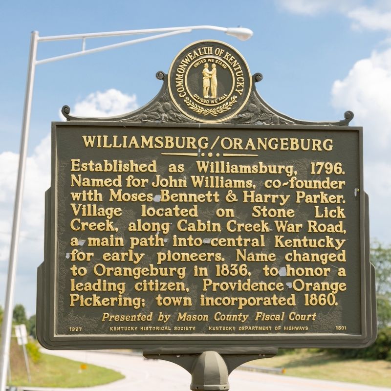
Williamsburg/Orangeburg
Erected 1997 by Kentucky Historical Society and Kentucky Department of Highways. (Marker Number 1501.)
Topics. This historical marker is listed in these topic lists: Political Subdivisions • Settlements & Settlers. A significant historical year for this entry is 1796.
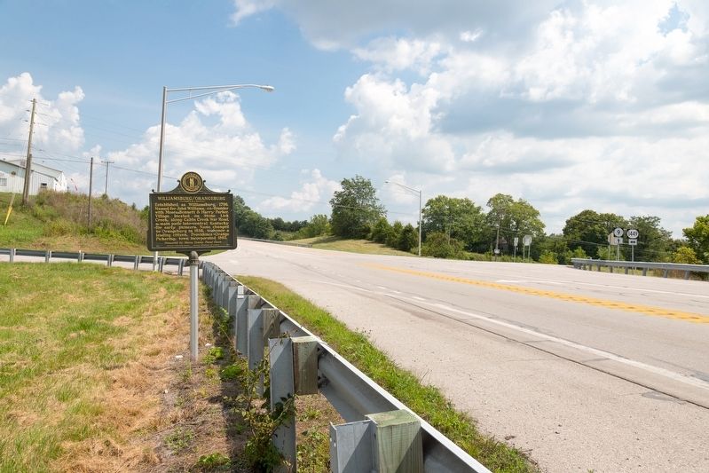
Location. 38° 35.06′ N, 83° 41.935′ W. Marker is near Orangeburg, Kentucky, in Mason County. Marker is at the intersection of AA Highway (Kentucky Route 9) and Orangeburg Road (Route 1449) on AA Highway. It is on the northwest corner of the intersection. Touch for map. Marker is in this post office area: Maysville KY 41056, United States of America. Touch for directions.
Other nearby markers. At least 8 other markers are within 6 miles of this marker, measured as the crow flies. Maysville G.A.R. Monument (approx. 4.1 miles away); Cabin Creek Bridge / Covered Bridges (approx. 4.6 miles away); Mason County, 1788 (approx. 5˝ miles away); Simon Kenton Memorial (approx. 5˝ miles away); John Samuel Darrough / Medal of Honor Recipient (approx. 5˝ miles away); Mason County Spy Company (approx. 5˝ miles away); Maysville Shipbuilding / "Maysville's" Voyaging (approx. 5˝ miles away); Lewis and Clark in Kentucky / John Colter (ca. 1775-1813) (approx. 5.6 miles away).
Credits. This page was last revised on August 28, 2021. It was originally submitted on August 28, 2021, by J. J. Prats of Powell, Ohio. This page has been viewed 167 times since then and 23 times this year. Photos: 1, 2. submitted on August 28, 2021, by J. J. Prats of Powell, Ohio.

