Near Carlisle in Nicholas County, Kentucky — The American South (East South Central)
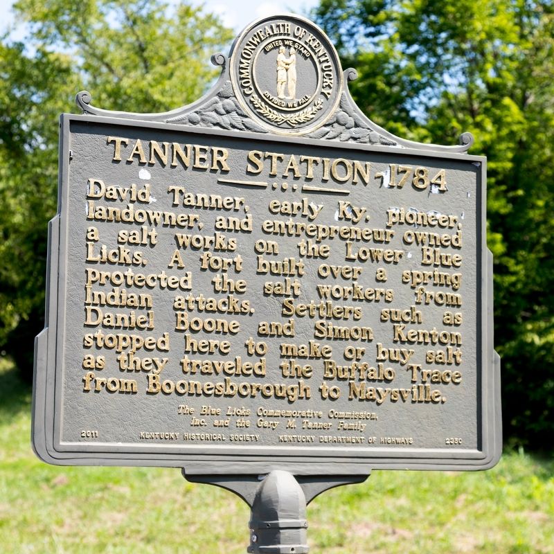
Tanner Station
1784
Erected 2011 by The Blue Licks Commemorative Commission Inc., the Gary M. Tanner Family, Kentucky Historical Society and Kentucky Department of Highways. (Marker Number 2350.)
Topics and series. This historical marker is listed in these topic lists: Industry & Commerce • Settlements & Settlers. In addition, it is included in the Kentucky Historical Society series list.
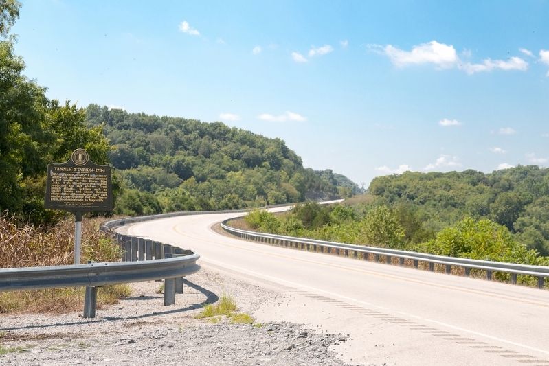
Location. 38° 25.39′ N, 83° 59.652′ W. Marker is near Carlisle, Kentucky, in Nicholas County. Marker is on Maysville Road (U.S. 68) south of Licks Road (Old Maysville Road), on the left. Touch for map. Marker is in this post office area: Carlisle KY 40311, United States of America. Touch for directions.
Other nearby markers. At least 8 other markers are within walking distance of this marker. Pioneer Pursuit (approx. 0.4 miles away); Buffalo Trace (approx. 0.6 miles away); William Jobe "Bill" Curtis (approx. 0.6 miles away); Great Indian Warrior Trading Path (approx. 0.6 miles away); Patriot-Pioneer (approx. 0.7 miles away); Blue Licks Battlefield (approx. 0.7 miles away); The Martyrs of the Last Battle of The Revolution (approx. ¾ mile away); Unknown Heros of the Battle of the Blue Licks (approx. ¾ mile away). Touch for a list and map of all markers in Carlisle.
Credits. This page was last revised on August 28, 2021. It was originally submitted on August 28, 2021, by J. J. Prats of Powell, Ohio. This page has been viewed 416 times since then and 64 times this year. Photos: 1, 2. submitted on August 28, 2021, by J. J. Prats of Powell, Ohio.

