New Albany in Floyd County, Indiana — The American Midwest (Great Lakes)
New Albany
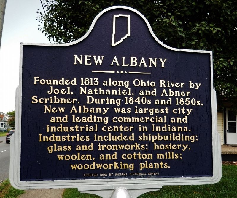
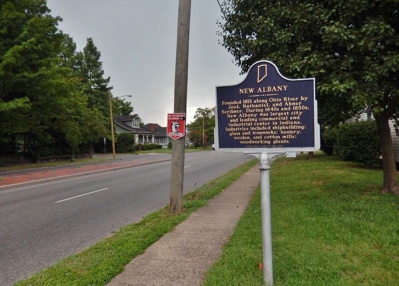
Founded 1813 along Ohio River by Joel, Nathaniel, and Abner Scribner. During 1840s and 1850s, New Albany was largest city and leading commercial and industrial center in Indiana. Industries included shipbuilding; glass and ironworks; hosiery, woolen, and cotton mills; woodworking plants.
Erected 1992 by Indiana Historical Bureau. (Marker Number 22.1992.2.)
Topics and series. This historical marker is listed in these topic lists: Industry & Commerce • Settlements & Settlers. In addition, it is included in the Indiana Historical Bureau Markers series list. A significant historical year for this entry is 1813.
Location. 38° 17.945′ N, 85° 47.732′ W. Marker is in New Albany, Indiana, in Floyd County. Marker is on East Spring Street (Old Indiana Route 62) just east of Woodrow Avenue, on the right when traveling west. Touch for map. Marker is at or near this postal address: 402 Woodrow Avenue, New Albany IN 47150, United States of America. Touch for directions.
Other nearby markers. At least 8 other markers are within walking distance of this marker. Site of Camp Whitcomb (about 300 feet away, measured in a direct line); Honoring Our Heroes (approx. half a mile away); New Albany National Cemetery (approx. half a mile away); a different marker also named New Albany National Cemetery (approx. 0.6 miles away); Division Street School (approx. 0.7 miles away); Memories of Division (approx. 0.7 miles away); Hedden's Grove Historic District (approx. one mile away); a different marker also named Hedden's Grove Historic District (approx. one mile away). Touch for a list and map of all markers in New Albany.
Also see . . . New Albany History. Explore New Albany website entry:
Thanks to the efforts of Nathaniel Scribner, Floyd County was recognized as a county in its own right in the spring on 1819. Cut out of Clark and Harrison counties it was named "Floyd" supposedly after Davis Floyd, a territorial politician and friend of Aaron Burr. Prior to the building of the locks on the Louisville side of the river, New Albany was one of the largest cities in the middle west due to the influence of the river. In 1839, New Albany became incorporated as a city. (Submitted on August 28, 2021, by Cosmos Mariner of Cape Canaveral, Florida.)
Credits. This page was last revised on February 13, 2022. It was originally submitted on August 28, 2021, by Cosmos Mariner of Cape Canaveral, Florida. This page has been viewed 151 times since then and 20 times this year. Photos: 1, 2. submitted on August 28, 2021, by Cosmos Mariner of Cape Canaveral, Florida.

