Huntsville in Walker County, Texas — The American South (West South Central)
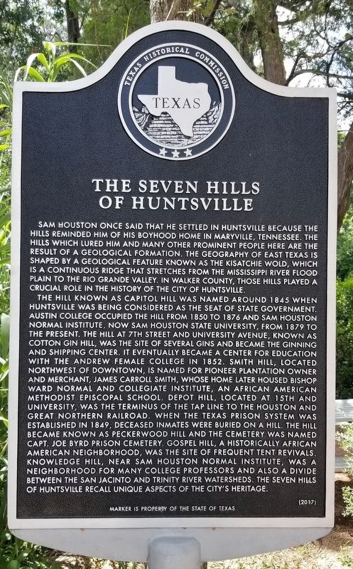
The Seven Hills of Huntsville
The hill known as Capitol Hill was named around 1845 when Huntsville was being considered as the seat of state government. Austin College occupied the hill from 1850 to 1876 and Sam Houston Normal Institute, now Sam Houston State University, from 1879 to the present. The hill at 7th Street and University Avenue, known as Cotton Gin Hill, was the site of several gins and became the ginning and shipping center. It eventually became a center for education with the Andrew Female College in 1852. Smith Hill, located northwest of downtown, is named for pioneer plantation owner and merchant, James Carroll Smith, whose home later housed Bishop Ward Normal and Collegiate Institute, an African American Methodist Episcopal School. Depot Hill, located at 15th and University, was the terminus of the Tap line to the Houston and Great Northern Railroad. When the Texas prison system was established in 1849, deceased inmates were buried on a hill. The hill became known as Peckerwood Hill and the cemetery was named Capt. Joe Byrd Prison Cemetery. Gospel Hill, a historically African American neighborhood, was the site of frequent tent revivals. Knowledge Hill, near Sam Houston Normal Institute, was a neighborhood for many college professors and also a divide between the San Jacinto and Trinity river watersheds. The Seven Hills of Huntsville recall unique aspects of the city's heritage.
Erected 2017 by Texas Historical Commission. (Marker Number 18772.)
Topics. This historical marker is listed in these topic lists: African Americans • Education • Industry & Commerce • Settlements & Settlers. A significant historical year for this entry is 1845.
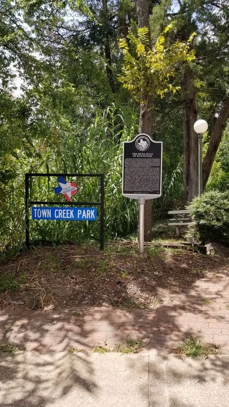
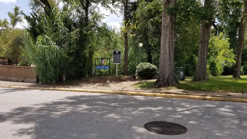
Location. 30° 43.362′ N, 95° 33.179′ W. Marker is in Huntsville, Texas, in Walker County. Marker is at the intersection of Avenue M and 12th Street, on the left when traveling north on Avenue M. The marker is located at the front of Town Creek Park. Touch for map. Marker is at or near this postal address: 1212 Avenue M, Huntsville TX 77340, United States of America. Touch for directions.
Other nearby markers. At least 8 other markers are within walking distance of this marker. Sallie E. Gibbs (within shouting distance of this marker); Gibbs-Powell House (about 500 feet away, measured in a direct line); Walker County (about 600 feet away); Sam Houston Whittling Site (about 700 feet away); Cornerstone of the Fourth Courthouse (about 700 feet away); Old Gibbs Store (about 700 feet away); First United Methodist Church of Huntsville (about 700 feet away); Memorial Gazebo (about 800 feet away). Touch for a list and map of all markers in Huntsville.
Also see . . . Kisatchie Wold.
In Texas the Kisatchie Wold is one of four well-developed cuesta uplands roughly parallel to the coast of the Gulf of Mexico. The cuesta (synonymous with wold) is an asymmetrical ridge with a long gentle slope on one side and a steep cliff on the other. The Kisatchie Wold slopes gently seaward and drops off sharply on the landward side. It was formed at the contact of the Catahoula sandstone with the underlying sands and shales of the Jackson Group. Source: The Handbook of Texas(Submitted on August 28, 2021, by James Hulse of Medina, Texas.)
Credits. This page was last revised on August 28, 2021. It was originally submitted on August 28, 2021, by James Hulse of Medina, Texas. This page has been viewed 565 times since then and 126 times this year. Photos: 1, 2, 3. submitted on August 28, 2021, by James Hulse of Medina, Texas.


