Maple Fork in Raleigh County, West Virginia — The American South (Appalachia)
Fay-Ral Airport
Fay-Ral Airport
Inscription.
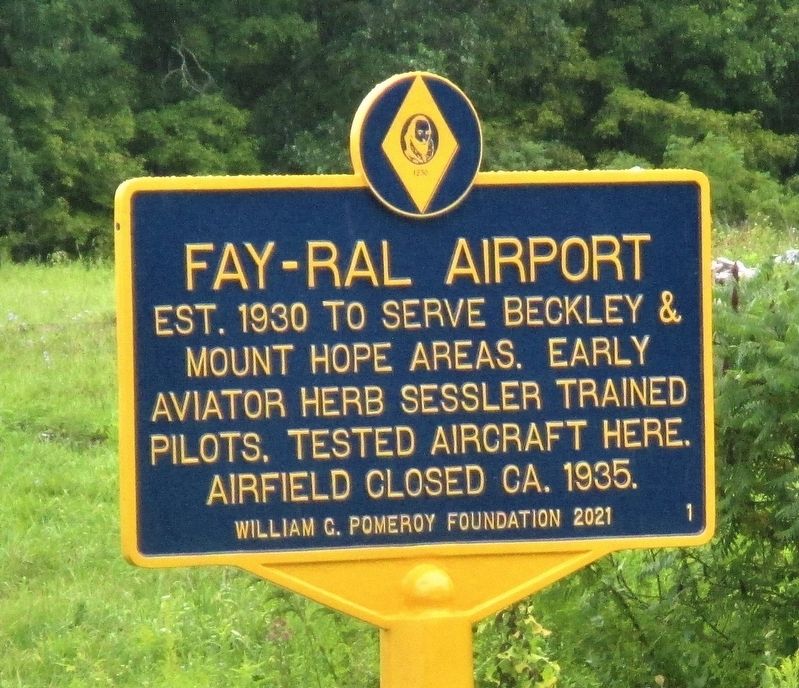
Est. 1930 to serve Beckley and Mount Hope areas. Early aviator Herb Sessler trained pilots, tested aircraft here. Airfield closed ca. 1935.
Erected 2021 by William G. Pomeroy Foundation. (Marker Number 1.)
Topics and series. This historical marker is listed in this topic list: Air & Space. In addition, it is included in the William G. Pomeroy Foundation series list. A significant historical date for this entry is August 22, 1930.
Location. 37° 52.268′ N, 81° 13.838′ W. Marker is in Maple Fork, West Virginia, in Raleigh County. Marker is on Maple Fork Road (County Road 1) near Carlos Drive (County Road 1/26), on the right when traveling west. Touch for map. Marker is at or near this postal address: 1288 Maple Fork Road, Mount Hope WV 25880, United States of America. Touch for directions.
Other nearby markers. At least 8 other markers are within 4 miles of this marker, measured as the crow flies. Fayette County / Raleigh County (approx. 2˝ miles away); Siltix Mine Disaster (approx. 3.3 miles away); The Dunloup Creek Watershed (approx. 3.3 miles away); a different marker also named The Dunloup Creek Watershed (approx. 3.3 miles away); a different marker also named The Dunloup Creek Watershed (approx. 3.3 miles away); The Coal Companies (approx. 3˝ miles away); Mine Safety (approx. 3˝ miles away); Phoenix City of the New River (approx. 3˝ miles away).
Regarding Fay-Ral Airport. The Fay-Ral Airport was among the first, if not the first, organized aviation facilities in Raleigh County. It was active from 1930 until about 1935. A key developer was Herbert L. Sessler, generally recognized as pioneering county aviation activities.
Credits. This page was last revised on August 31, 2021. It was originally submitted on August 31, 2021, by Merle T. Cole of Daniels, West Virginia. This page has been viewed 179 times since then and 28 times this year. Photos: 1, 2. submitted on August 31, 2021, by Merle T. Cole of Daniels, West Virginia. • Devry Becker Jones was the editor who published this page.

