Parkdale in Greenhills in Hamilton County, Ohio — The American Midwest (Great Lakes)
Greenhills
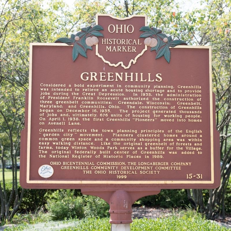
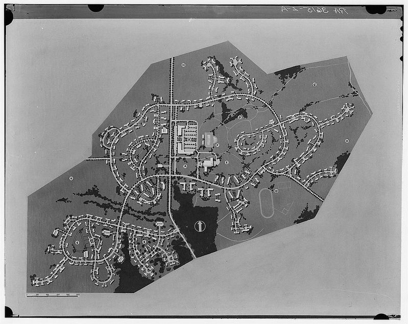
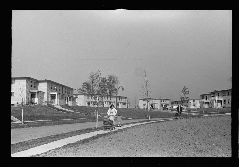
Greenhills reflects the town planning principles of the English “garden city” movement. Planners clustered homes around a common green space and a community shopping area was within easy walking distance. Like the original greenbelt of forests and farms, today Winton Woods Park serves as a buffer for the Village. The original federally built center of Greenhills was added to the National Register of Historic Places in 1989.
Erected 1999 by Ohio Bicentennial Commission, The Longaberger Company, Greenhills Community Development Committee, and The Ohio Historical Society. (Marker Number 15-31.)
Topics and series. This historical marker is listed in this topic list: Notable Places. In addition, it is included in the Ohio Historical Society / The Ohio History Connection series list. A significant historical date for this entry is April 1, 1938.
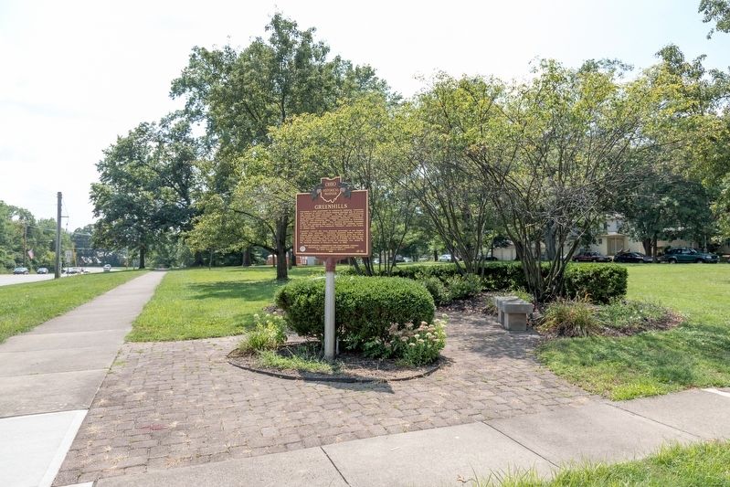
Location. 39° 16.024′ N, 84° 31.419′ W. Marker is in Greenhills, Ohio, in Hamilton County. It is in Parkdale. Marker is at the intersection of Winton Road and Cromwell Road and Farragut Road, on the right when traveling south on Winton Road. Touch for map. Marker is in this post office area: Cincinnati OH 45218, United States of America. Touch for directions.
Other nearby markers. At least 8 other markers are within 3 miles of this marker, measured as the crow flies. Greenhills Historic District (about 300 feet away, measured in a direct line); Commemorating our Nation’s Bicentennial and Freedom of the Press (about 300 feet away); The Newell School (approx. 1˝ miles away); Jediah Hill Covered Bridge (approx. 1˝ miles away); Inventor Obed Hussey Tests His Reaper, 1835 (approx. 1˝ miles away); Old Saint Mary Cemetery (approx. 2.3 miles away); Morgan’s Raid Through Springdale (approx. 2˝ miles away); Maple Knoll Village (approx. 2˝ miles away). Touch for a list and map of all markers in Greenhills.
More about this marker. It is in Pioneer Park.
Also see . . . Wikipedia entry. Excerpt:
A planned community, it was established by the United States government during the Great Depression. Most of the village is a National Historic Landmark for its history as a planned modernist community.(Submitted on August 31, 2021.)
As one of three "Greenbelt Communities" built by the short-lived Resettlement Administration during the 1930s (the other two are Greenbelt, Maryland and Greendale, Wisconsin). Greenhills was designed to be surrounded by a "belt" of woodland and natural landscaping. Like the other six “FDR towns,” Greenhills was founded as a sundown town, using restrictive covenants to prevent minorities from purchasing homes there. Many families include third- and fourth-generation descendants of the village’s original “pioneers" who occupied the original International-style townhomes.
Credits. This page was last revised on February 4, 2023. It was originally submitted on August 31, 2021, by J. J. Prats of Powell, Ohio. This page has been viewed 258 times since then and 53 times this year. Photos: 1, 2, 3, 4. submitted on August 31, 2021, by J. J. Prats of Powell, Ohio.


