Dillon in Beaverhead County, Montana — The American West (Mountains)
Dillon City Hall Historic District
Photographed by Barry Swackhamer, July 11, 2021
1. Dillon City Hall Historic District Marker
Inscription.
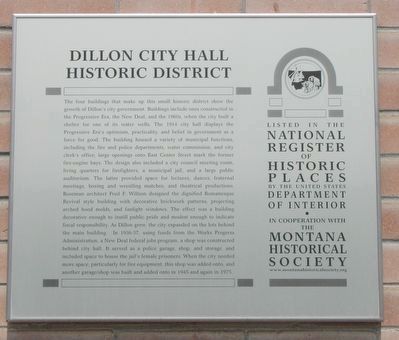
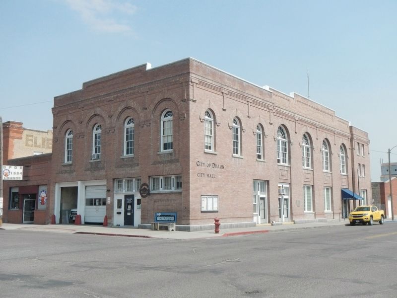
The four buildings that make up this small historic district show the growth of Dillon’s city government. Buildings include ones constructed in the Progressive Era, the New Deal, and the 1960s, when the city built a shelter for one of its water wells. The 1914 city hall displays the Progressive Era’s optimism, practicality, and belief in government as a force for good. The building housed a variety of municipal functions, including the fire and police departments, water commission, and city clerk’s office; large openings onto East Center Street mark the former fire-engine bays. The design also included a city council meeting room, living quarters for firefighters, a municipal jail, and a large public auditorium. The latter provided space for lectures, dances, fraternal meetings, boxing and wrestling matches, and theatrical productions. Bozeman architect Fred F. Willson designed the dignified Romanesque Revival style building with decorative brickwork patterns, projecting arched hood molds, and fanlight windows. The effect was a building decorative enough to instill public pride and modest enough to indicate fiscal responsibility.
Click or scan to see this page online
As Dillon grew, the city expanded on the lots behind the main building. In 1936-37, using funds from the Works Progress Administration, a New Deal federal jobs program, a shop was constructed behind city hall. It served as a police garage, shop, and storage, and included space to house the jail’s female prisoners. When the city needed more space, particularly for fire equipment, this shop was added onto, and another garage/shop was built and added onto in 1945 and again in 1975.
Location. 45° 13.078′ N, 112° 38.124′ W. Marker is in Dillon, Montana, in Beaverhead County. It is on East Center Street near North Idaho Street, on the left when traveling south. Touch for map. Marker is at or near this postal address: 31 East Center Street, Dillon MT 59725, United States of America. Touch for directions.
Regionally,
Photographed by Barry Swackhamer, July 11, 2021
2. Dillon City Hall and Marker
this marker is in andspecifically outhwest Montana, in Gold West Country, in Mining Country. It is also in the American Mountain West and in the Lewis & Clark Corridor. Globally, it is in North America, the Rocky Mountains, the Western Hemisphere, the Western World, and the Anglosphere. Historically, it finds itself in what was once Rupert’s Land and also the Louisiana Purchase.
Credits. This page was last revised on December 4, 2024. It was originally submitted on August 31, 2021, by Barry Swackhamer of Brentwood, California. This page has been viewed 622 times since then and 53 times this year. Photos:1, 2, 3, 4. submitted on August 31, 2021, by Barry Swackhamer of Brentwood, California.