Oxford in Granville County, North Carolina — The American South (South Atlantic)
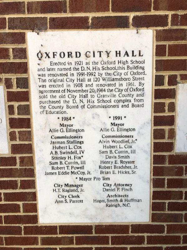
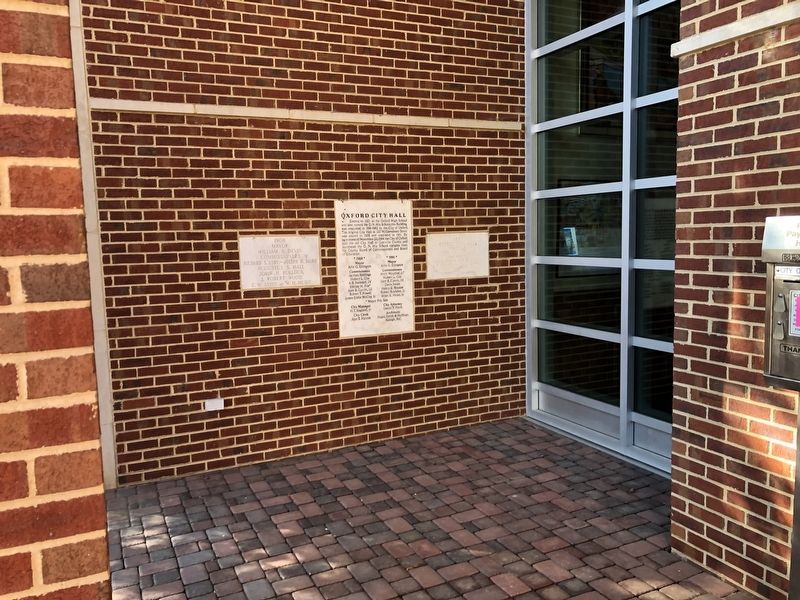
Oxford City Hall
Erected 1992 by City of Oxford, North Carolina.
Topics. This historical marker is listed in these topic lists: Education • Government & Politics. A significant historical date for this entry is November 20, 1984.
Location. 36° 18.781′ N, 78° 35.086′ W. Marker is in Oxford, North Carolina, in Granville County. Marker is on Williamsboro Street just east of Belle Street, on the left when traveling west. Touch for map. Marker is at or near this postal address: 300 Williamsboro St, Oxford NC 27565, United States of America. Touch for directions.
Other nearby markers. At least 8 other markers are within walking distance of this marker. Granville County Veterans Memorial (within shouting distance of this marker); Oxford Female College (about 300 feet away, measured in a direct line); Samuel Benton (approx. 0.2 miles away); Granville County Courthouse (approx. 0.2 miles away); John Penn (approx. 0.2 miles away); Oxford Baptist Church (approx. ¼ mile away); Horner School (approx. ¼ mile away); Katherine Blount Skinner Lassiter (approx. ¼ mile away). Touch for a list and map of all markers in Oxford.
Credits. This page was last revised on September 5, 2021. It was originally submitted on September 5, 2021, by Devry Becker Jones of Washington, District of Columbia. This page has been viewed 150 times since then and 28 times this year. Photos: 1, 2. submitted on September 5, 2021, by Devry Becker Jones of Washington, District of Columbia.

