Near Kim in Las Animas County, Colorado — The American Mountains (Southwest)
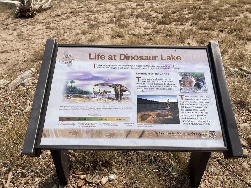
Life at Dinosaur Lake
Photographed by Connor Olson, August 31, 2021
1. Life at Dinosaur Lake Marker
Learning from the Layers
The layers of rock at the tracksite have much to teach us about the world of Jurassic dinosaurs. In addition to footprints, the rock layers record ripple marks, mud cracks, and casts of salt crystals.
These clues tell us that the layers formed along the edge of a brackish freshwater lake similar to today's Great Salt Lake. “Dinosaur Lake" has yielded other fossils such freshwater clams, fish scales, plant impressions, and microscopic aquatic invertebrates that also tell the story of the Jurassic world.
Captions:
During the Jurassic Period, southeastern Colorado was dominated by a vast but shallow inland lake. In this depiction, large sauropod and smaller ornithischian dinosaurs walk along the muddy shore. The Rocky Mountains had not yet emerged and the land was gently rolling conifer forests laced with stream valleys.
Rainwater beautifully highlights these sauropod tracks
Erected by US
this page online
Topics. This historical marker is listed in these topic lists: Animals • Paleontology.
Location. 37° 37.085′ N, 103° 35.852′ W. Marker is near Kim, Colorado, in Las Animas County. It can be reached from no nearby street. Marker is located on the Picketwire Canyon Trail. The trail can be accessed from County Road 25 (Rourke Rd). Touch for map. Marker is in this post office area: Kim CO 81049, United States of America. Touch for directions.

Regionally, this marker is in the American Mountain West, on the Great Plains, on the Southern Plains, and on the Santa Fe Trail Corridor. Globally, it is in North America, the Western Hemisphere, the Western World, and the Anglosphere. Historically, it finds itself in what was once New Spain, the Comanchería, the Dust Bowl, and the Republic of Texas.
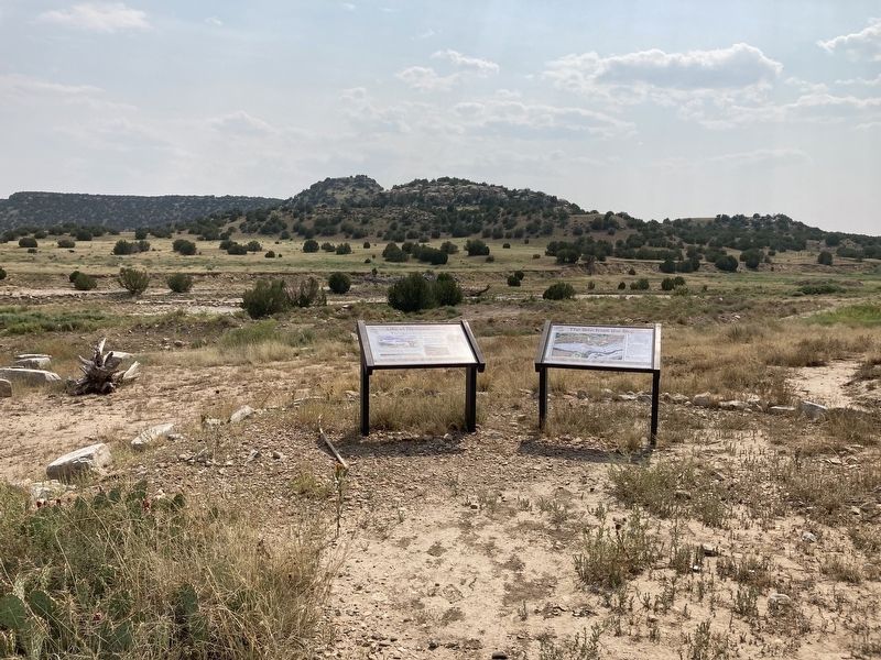
Other nearby markers. At least 7 other markers are within 14 miles of this marker, measured as the crow flies: The Site from the Sky (here, next to this marker); The Largest Tracksite in North America (approx. 0.2 miles away); Dinosaur Shoulder Blade From An Apatosaurus
Photographed by Connor Olson, August 31, 2021
2. Life at Dinosaur Lake Marker
Photographed by Connor Olson, August 31, 2021
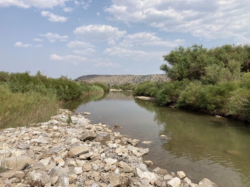
3. Purgatoire River
Credits. This page was last revised on February 9, 2026. It was originally submitted on September 5, 2021, by Connor Olson of Menomonee Falls, Wisconsin. This page has been viewed 600 times since then and 57 times this year. Photos: 1, 2, 3. submitted on September 5, 2021, by Connor Olson of Menomonee Falls, Wisconsin. • Andrew Ruppenstein was the editor who published this page.
