Warrensburg in Warren County, New York — The American Northeast (Mid-Atlantic)
Floyd Bennett Memorial
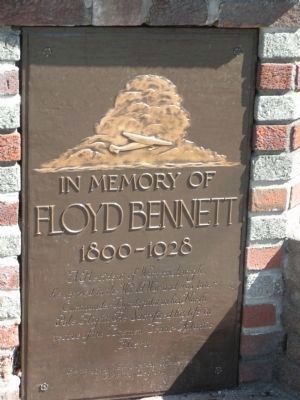
— 1890 - 1928 —
Floyd Bennett
1890 - 1928
A Resident of Warrensburgh, he served in the World War and was later Commander Byrd's pilot on his North Pole Flight. He Sacrificed his life in rescue of the Bremen Trans-Atlantic Fliers.
Erected by American Legion, Warrensburg Post Number 446.
Topics. This historical marker and memorial is listed in these topic lists: Air & Space • Exploration • War, World I. A significant historical year for this entry is 1890.
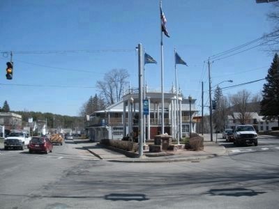
Location. 43° 29.783′ N, 73° 46.533′ W. Marker is in Warrensburg, New York, in Warren County. Marker is at the intersection of Main Street (U.S. 9) and Adirondack Avenue, on the left on Main Street. Touch for map. Marker is in this post office area: Warrensburg NY 12885, United States of America. Touch for directions.
Other nearby markers. At least 8 other markers are within 3 miles of this marker, measured as the crow flies. The Town of Warrensburgh (here, next to this marker); Warrensburgh Bicentennial Garden (approx. half a mile away); Warrensburg (approx. half a mile away); Trolley Power (approx. half a mile away); Warrensburg Historical Park (approx. half a mile away); Dedicated to All Veterans (approx. 0.7 miles away); Dedicated in Honor (approx. 0.7 miles away); Charles R. Bishop Childhood Home (approx. 2.2 miles away). Touch for a list and map of all markers in Warrensburg.
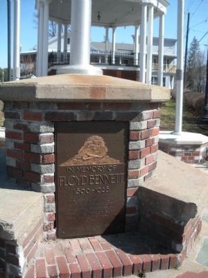
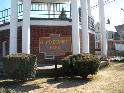
More about this memorial. Towards the north of the village of Warrensburg, US Route 9 (Main Street) is intersected by Hudson Avenue to the northwest, Elm Street to the southwest and Adirondack Avenue to the east. Floyd Bennett Park is a pie shaped section of land formed by Main Street to the east and Elm Street to the west. The park has a band stand on which free concerts are presented to the public during the summer.
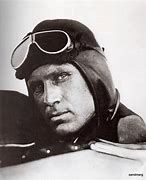
Also see . . . Floyd Bennett. Wikipedia biography (Submitted on June 18, 2021, by Larry Gertner of New York, New York.)
Credits. This page was last revised on June 18, 2021. It was originally submitted on April 20, 2009, by John Farrell of Lake George, New York. This page has been viewed 1,216 times since then and 24 times this year. Photos: 1, 2, 3. submitted on April 20, 2009, by John Farrell of Lake George, New York. 4. submitted on June 18, 2021, by Larry Gertner of New York, New York. 5. submitted on April 20, 2009, by John Farrell of Lake George, New York. • Kevin W. was the editor who published this page.
