Burns Park in Ann Arbor in Washtenaw County, Michigan — The American Midwest (Great Lakes)
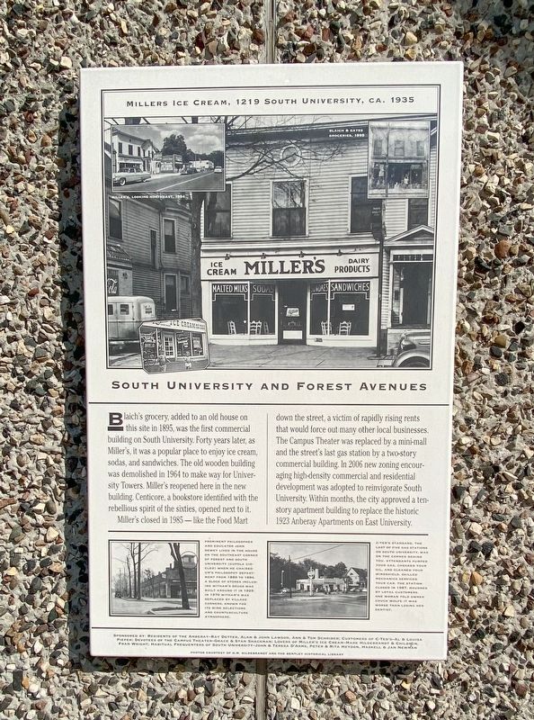
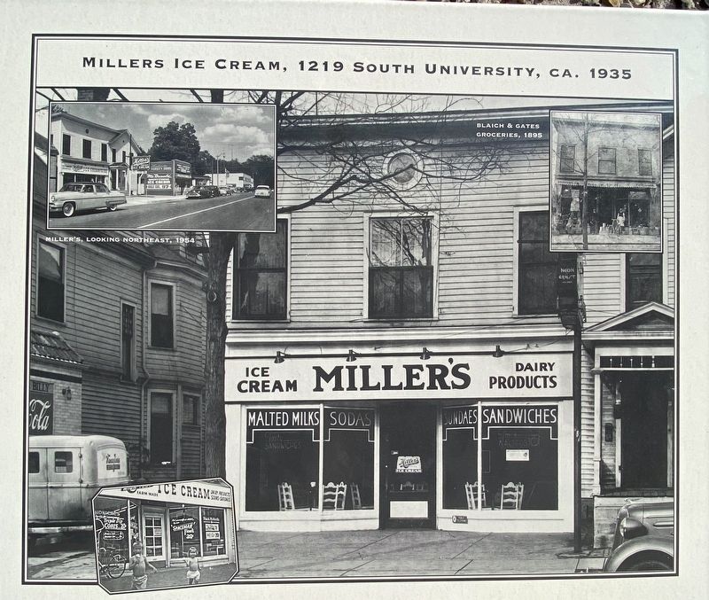
South University and Forest Avenues
Miller's closed in 1985-like the Food Mart down the street, a victim of rapidly rising rents that would force out many other local businesses. The Campus Theater was replaced by a mini-mall and the street's last gas station by a two-story commercial building. In 2006 new zoning encouraging high-density commercial and residential development was adopted to reinvigorate South University. Within months, the city approved a ten story apartment building to replace the historic 1923 Anberay Apartments on East University.
Erected by Ann Arbor Historical Foundation.
Topics. This historical marker is listed in this topic list: Industry & Commerce. A significant historical year for this entry is 1895.
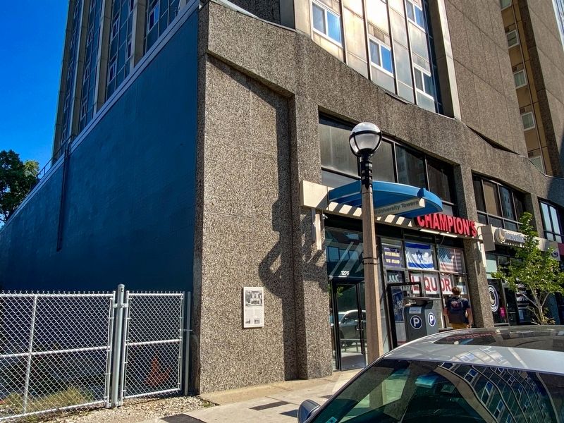
Location. 42° 16.506′ N, 83° 44.022′ W. Marker is in Ann Arbor, Michigan, in Washtenaw County. It is in Burns Park. Marker is on South University Avenue near South Forest Avenue, on the right when traveling west. Touch for map. Marker is at or near this postal address: 1227 S University Ave, Ann Arbor MI 48104, United States of America. Touch for directions.
Other nearby markers. At least 8 other markers are within walking distance of this marker. Campus Patterns of Residential Life (about 500 feet away, measured in a direct line); The Corners of South University and East University Avenues (about 500 feet away); Social and Political Change on South University (about 600 feet away); McDivitt-White Plaza (about 600 feet away); Engineering at Michigan (about 700 feet away); East University Avenue Campus Boundary (about 700 feet away); West Engineering - West Hall (about 700 feet away); The Denison Archway (about 700 feet away). Touch for a list and map of all markers in Ann Arbor.
Photographed By J.T. Lambrou, September 10, 2021
3. South University and Forest Avenues Marker
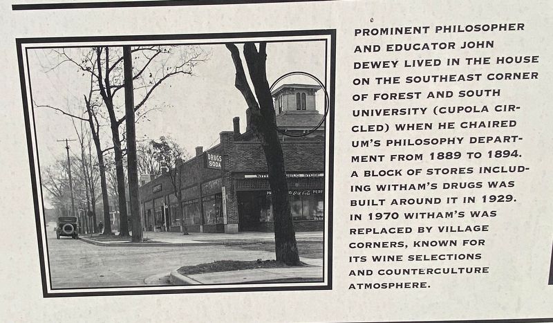
Inset photo (lower left) caption: Prominent philosopher and educator John Dewey lived in the house on the southeast corner of Forest And South University (cupola circled) when he chaired UM's philosophy department from 1889 to 1894. A block of stores including Witham's Drugs was built around it in 1929. In 1970 Witham's was replaced by Village Corners, known for its wine selections and counterculture atmosphere.
Photographed By J.T. Lambrou, September 10, 2021
4. South University and Forest Avenues Marker
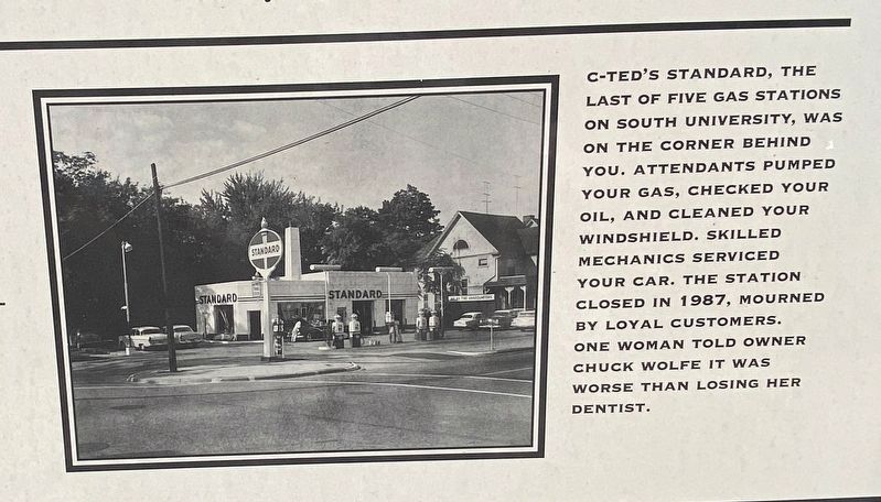
Inset photo (lower right) caption: C-Ted's Standard, the last of five gas stations on South University, was bon the corner behind you. Attendants pumped your gas, checked your oil, and cleaned your windshield. Skilled mechanics serviced your car. The station closed in 1987, mourned by loyal customers. One woman told owner Chuck Wolfe it was worse than losing her dentist.
Credits. This page was last revised on February 12, 2023. It was originally submitted on September 12, 2021, by J.T. Lambrou of New Boston, Michigan. This page has been viewed 163 times since then and 29 times this year. Photos: 1, 2, 3, 4, 5. submitted on September 12, 2021, by J.T. Lambrou of New Boston, Michigan. • Mark Hilton was the editor who published this page.
