Marker Logo HMdb.org THE HISTORICAL
MARKER DATABASE
“Bite-Size Bits of Local, National, and Global History”
Norfolk in Madison County, Nebraska — The American Midwest (Upper Plains)
 

St. Paul's Lutheran Church


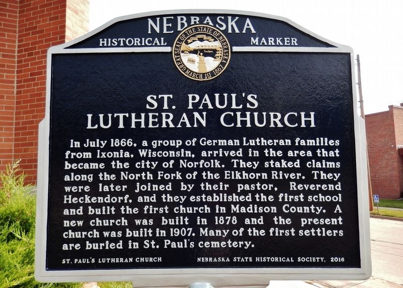
St. Paul's Lutheran Church Marker image. Click for full size.
Photographed By Cosmos Mariner, August 9, 2021
1. St. Paul's Lutheran Church Marker
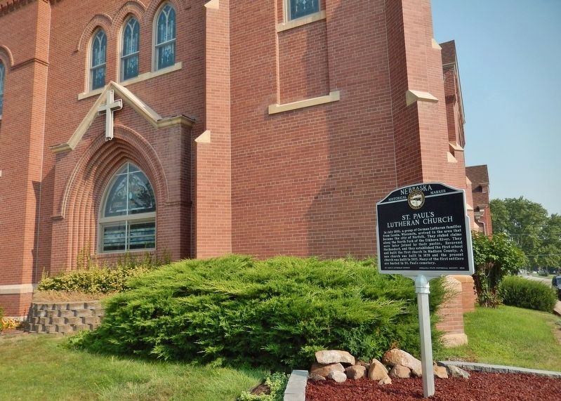
Inscription. In July 1866, a group of German Lutheran families from Ixonia, Wisconsin, arrived in the area that became the city of Norfolk. They staked claims along the North Fork of the Elkhorn River. They were later joined by their pastor, Reverend Heckendorf, and they established the first school and built the first church in Madison County. A new church was built in 1878 and the present church was built in 1907. Many of the first settlers are buried in St. Paul’s cemetery.
 
Erected 2016 by St. Paul's Lutheran Church; and Nebraska State Historical Society. (Marker Number 529.)
 
Topics and series. This historical marker is listed in these topic lists: Churches & ReligionEducationSettlements & Settlers. In addition, it is included in the Nebraska State Historical Society series list. A significant historical year for this entry is 1907.
 
Location. 42° 2.622′ N, 97° 25.312′ W. Marker is in Norfolk, Nebraska, in Madison County. Marker is at the intersection of Georgia Avenue and North 11th Street, on the left when traveling east on Georgia Avenue. Marker is located near the sidewalk at the northwest corner of the intersection. Touch for map. Marker is at or near this postal address: 1100 Georgia Avenue, Norfolk NE 68701, United States of America. Touch for directions.
 
Other nearby markers. At least 6 other markers are within 12 miles of this
Paid Advertisement
Click on the ad for more information.
Please report objectionable advertising to the Editor.
Click or scan to see
this page online
marker, measured as the crow flies. Verges Park (approx. 0.4 miles away); The Meridian Highway: From Canada to Mexico (approx. 8.2 miles away); Battle Creek (approx. 9˝ miles away); The Skala Timber House (approx. 9.8 miles away); Old Willow Creek Bridge (approx. 12 miles away); Gilman Park (approx. 12 miles away).
 
St. Paul's Lutheran Church Marker image. Click for full size.
Photographed By Cosmos Mariner, August 9, 2021
2. St. Paul's Lutheran Church Marker
(southeast corner of St. Paul's Lutheran Church in background)
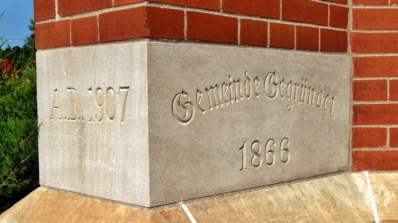
St. Paul's Lutheran Church Cornerstone image. Click for full size.
Photographed By Cosmos Mariner, August 9, 2021
3. St. Paul's Lutheran Church Cornerstone
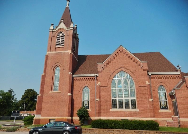
St. Paul's Lutheran Church (<i>east elevation</i>) image. Click for full size.
Photographed By Cosmos Mariner, August 9, 2021
4. St. Paul's Lutheran Church (east elevation)
(looking west from North 11th Street • marker visible at bottom left)
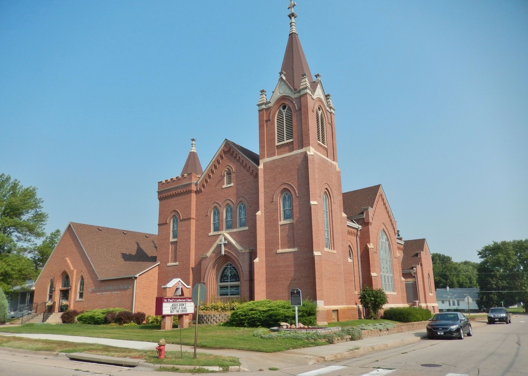
St. Paul's Lutheran Church image. Click for full size.
Photographed By Cosmos Mariner, August 9, 2021
5. St. Paul's Lutheran Church
 
 
Credits. This page was last revised on September 16, 2021. It was originally submitted on September 15, 2021, by Cosmos Mariner of Cape Canaveral, Florida. This page has been viewed 257 times since then and 36 times this year. Photos:   1, 2, 3. submitted on September 15, 2021, by Cosmos Mariner of Cape Canaveral, Florida.   4, 5. submitted on September 16, 2021, by Cosmos Mariner of Cape Canaveral, Florida.
Share this page.  
Share on Tumblr
m=181891

CeraNet Cloud Computing sponsors the Historical Marker Database.
This website earns income from purchases you make after using our links to Amazon.com. We appreciate your support.
Paid Advertisement
Apr. 26, 2024