Page in Holt County, Nebraska — The American Midwest (Upper Plains)
Page Base Line
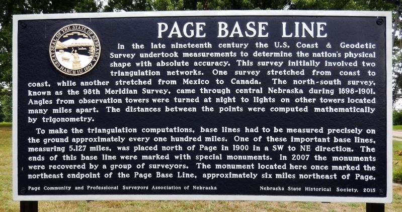
In the late nineteenth century the U. S. Coast & Geodetic Survey undertook measurements to determine the nation’s physical shape with absolute accuracy. This survey initially involved two triangulation networks. One survey stretched from coast to coast, while another stretched from Mexico to Canada. The north-south survey, known as the 98th Meridian Survey, came through central Nebraska during 1898-1901. Angles from observation towers were turned at night to lights on other towers located many miles apart. The distances between the points were computed mathematically by trigonometry.
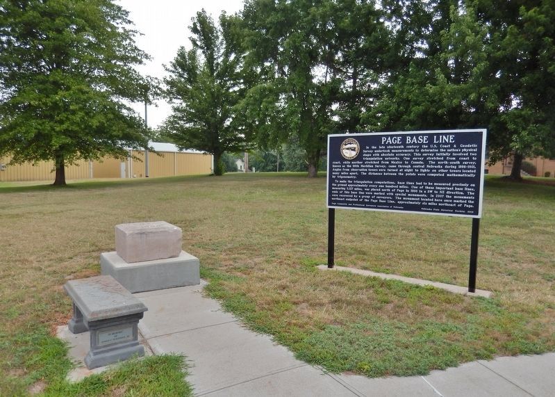
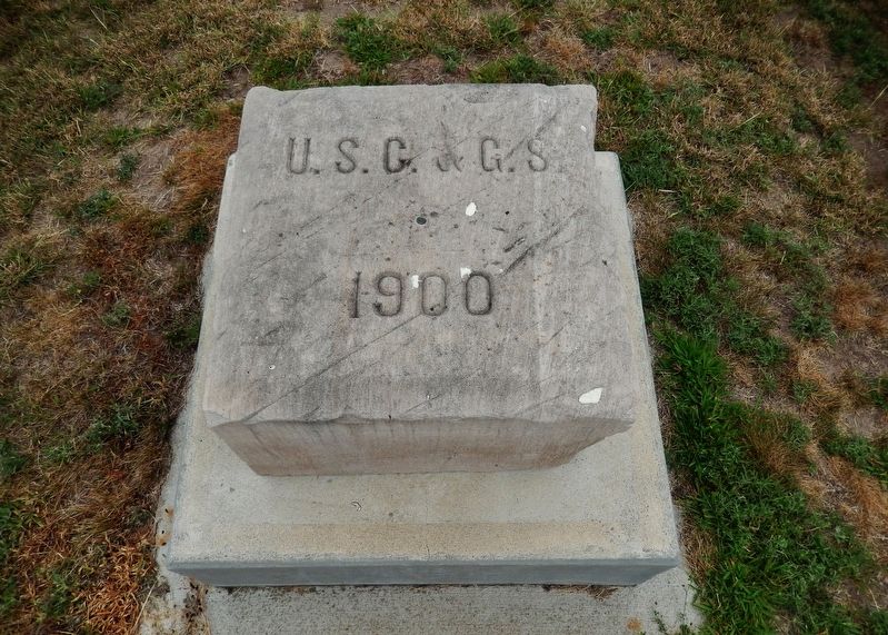
To make the triangulation computations, base lines had to be measured precisely on the ground approximately every one hundred miles. One of these important base lines, measuring 5.127 miles, was placed north of Page in 1900 in a SW to NE direction. The ends of this base line were marked with special monuments. In 2007 the monuments were recovered by a group of surveyors. The monument located here once marked the northeast endpoint of the Page Base Line, approximately six miles northeast of Page.
Erected 2015 by Page Community and Professional Surveyors Association of Nebraska; and Nebraska State Historical Society. (Marker Number 504.)
Topics and series. This historical marker is listed in this topic list: Landmarks. In addition, it is included in the Nebraska State Historical Society series list. A significant historical year for this entry is 1900.
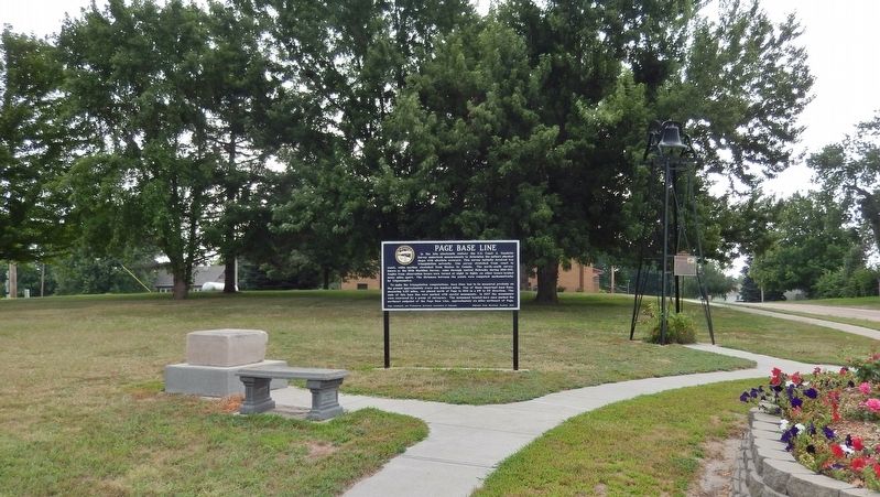
Location. 42° 24.058′ N, 98° 25.025′ W. Marker is in Page, Nebraska, in Holt County. Marker is at the intersection of 5th Street (State Highway 45A Spur) and Main Street, on the left when traveling south on 5th Street. Marker and Page Base Line monument are located in the city park at the northeast corner of the intersection. Touch for map. Marker is in this post office area: Page NE 68766, United States of America. Touch for directions.
Other nearby markers. At least 4 other markers are within 11 miles of this marker, measured as the crow flies. Page School (here, next to this marker); O’Neill (approx. 9.7 miles away); These Flags Fly (approx. 10.7 miles away); The Savidge Brothers, Aviation Pioneers (approx. 10.7 miles away).
Also see . . .
1. Page NE & SW Base Monument. The end points of this important baseline had been lost for many years. By using GPS technology, a group of surveyors were able to recover the lower monument at the SW Base location and the original surface monument at the NE Base location on April 14, 2007. A short time later, the land where the NE Base monument was located was plowed for cropland, so the surface monument was removed and preserved for historical purposes. On May 24, 2015, a sign was dedicated in the town of Page that provides the details about the Page Base Line and the importance of the Page NE Base monument that has been relocated from the field. (Submitted on September 16, 2021, by Cosmos Mariner of Cape Canaveral, Florida.)
2. U.S. National Geodetic Survey (Wikipedia). The National Geodetic Survey (NGS), formerly the United States Survey of the Coast (1807–1836), United States Coast Survey (1836–1878), and United States Coast and Geodetic Survey (USC&GS) (1878–1970), is a United States federal agency that defines and manages a national coordinate system, providing the foundation for transportation and communication; mapping and charting; and a large number of applications of science and engineering. (Submitted on September 16, 2021, by Cosmos Mariner of Cape Canaveral, Florida.)
Credits. This page was last revised on September 16, 2021. It was originally submitted on September 15, 2021, by Cosmos Mariner of Cape Canaveral, Florida. This page has been viewed 92 times since then and 18 times this year. Photos: 1, 2, 3, 4. submitted on September 16, 2021, by Cosmos Mariner of Cape Canaveral, Florida.


