Concord in Middlesex County, Massachusetts — The American Northeast (New England)
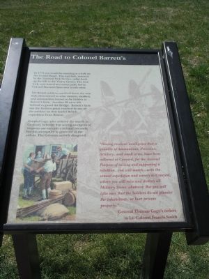
The Road to Colonel Barrett’s
120 British soldiers marched down the west fork, determined to seize cannon, muskets, and ammunition known to be hidden at Barrett’s farm. Another 96 were left behind to guard the Bridge. Barrett’s farm was the furthest point reached by any of the soldiers on that fateful British expedition from Boston.
General Gage, who ordered the march to Concord, believed that seizing stockpiles of weapons was not only a military necessity, but his prerogative as governor of the colony. The Colonists actively disagreed.
“Having received intelligence that a quantity of Ammunition, Provision, Artillery . . . and small arms, have been collected at Concord, for the Avowed Purpose of raising and supporting a rebellion . . . you will march . . . with the utmost expedition and secrecy to Concord, where you will seize and destroy all Military Stores whatever. But you will take care that the Soldiers do not plunder the inhabitants, or hurt private property.”
Erected by Minute Man National Historical Park.
Topics. This historical marker is listed in these topic lists: Notable Places • War, US Revolutionary. A significant historical year for this entry is 1775.
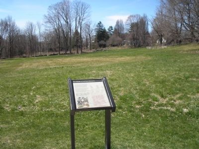
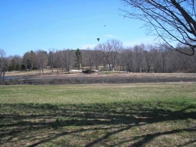
Location. 42° 28.137′ N, 71° 21.204′ W. Marker is in Concord, Massachusetts, in Middlesex County. Marker can be reached from Liberty Street, on the left when traveling south. Marker is located in Minute Man National Historical Park, along the trail from the Visitor Center to the North Bridge. Touch for map. Marker is in this post office area: Concord MA 01742, United States of America. Touch for directions.
Other nearby markers. At least 8 other markers are within walking distance of this marker. Captain David Brown House Site (about 400 feet away, measured in a direct line); Captain Isaac Davis (about 400 feet away); Two Revolutions (about 500 feet away); An Evolving Legacy (about 500 feet away); Reflections of the Revolution (about 500 feet away); The Minuteman of Concord 1775 (about 600 feet away); The Muster Field (about 700 feet away); The North Bridge (approx. 0.2 miles away). Touch for a list and map of all markers in Concord.
More about this marker. The bottom left of the marker contains a picture of Concord residents loading weapons and gunpowder into a wagon.
Credits. This page was last revised on October 16, 2020. It was originally submitted on April 23, 2009, by Bill Coughlin of Woodland Park, New Jersey. This page has been viewed 1,504 times since then and 41 times this year. Photos: 1, 2, 3, 4. submitted on April 23, 2009, by Bill Coughlin of Woodland Park, New Jersey.


