Long Pine in Brown County, Nebraska — The American Midwest (Upper Plains)
Long Pine A Railroad Town
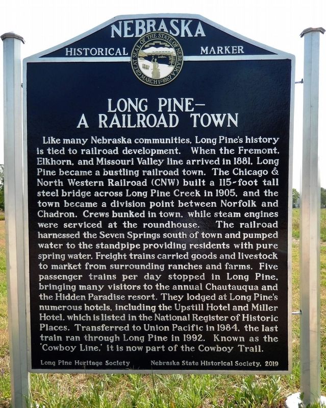
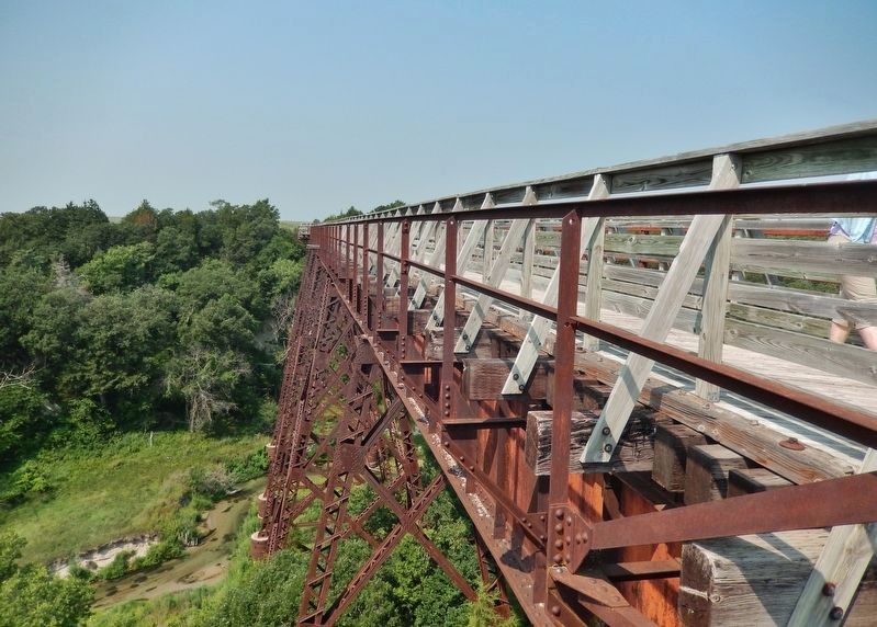
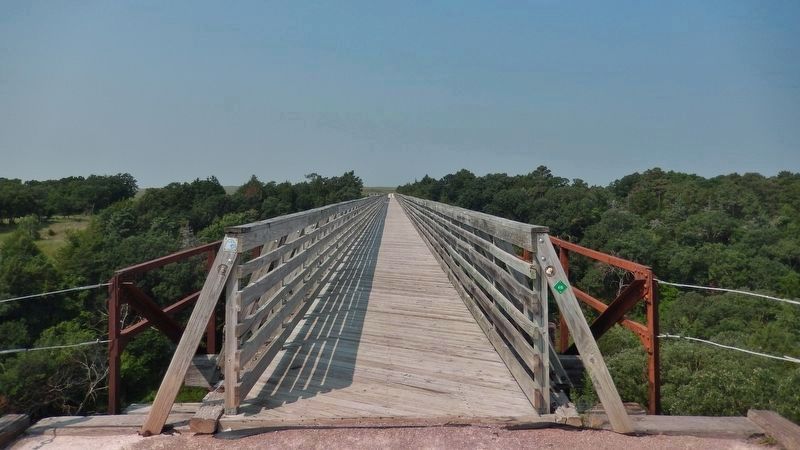
Like many Nebraska communities, Long Pine's history is tied to railroad development. When the Fremont, Elkhorn, and Missouri Valley line arrived in 1881, Long Pine became a bustling railroad town. The Chicago & North Western Railroad (CNW) built a 115-foot tall steel bridge across Long Pine Creek in 1905, and the town became a division point between Norfolk and Chadron. Crews bunked in town, while steam engines were serviced at the roundhouse. The railroad harnessed the Seven Springs south of town and pumped water to the standpipe providing residents with pure spring water. Freight trains carried goods and livestock to market from surrounding ranches and farms. Five passenger trains per day stopped in Long Pine, bringing many visitors to the annual Chautauqua and the Hidden Paradise resort. They lodged at Long Pine's numerous hotels, including the Upstill Hotel and Miller Hotel, which is listed in the National Register of Historic Places. Transferred to Union Pacific in 1984, the last train ran through Long Pine in 1992. Known as the 'Cowboy Line,' it is now part of the Cowboy Trail.
Erected 2019 by Long Pine Heritage Society; and Nebraska State Historical Society. (Marker Number 557.)
Topics and series. This historical marker is listed in these topic lists: Bridges & Viaducts • Industry & Commerce • Railroads & Streetcars • Settlements & Settlers. In addition, it is included in the Nebraska State Historical Society series list. A significant historical year for this entry is 1881.
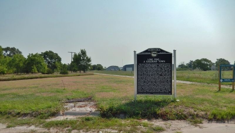
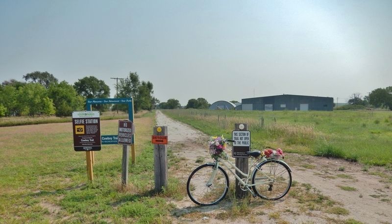
Location. 42° 31.993′ N, 99° 42.037′ W. Marker is in Long Pine, Nebraska, in Brown County. Marker is on North Main Street, 0.1 miles south of East 3rd Street, on the left when traveling south. Marker is located beside the Nebraska Cowboy State Recreational Trail, formerly the Fremont, Elkhorn, and Missouri Valley railroad line. Touch for map. Marker is in this post office area: Long Pine NE 69217, United States of America. Touch for directions.
Other nearby markers. At least 1 other marker is within 9 miles of this marker, measured as the crow flies. Rock County Courthouse (approx. 9 miles away).
Also see . . .
1. Long Pine, Nebraska (Wikipedia). Excerpt:
Long Pine was a hub for the Chicago and North Western Transportation Company on what came to be known as the Cowboy Line and at one time held a large roundhouse, turntable, and servicing facility. With the advent of diesel locomotives, the steam servicing facilities were no longer needed. Eventually, the entire line was abandoned. The former right of way has since become a recreational trail known as the Cowboy Trail.(Submitted on September 17, 2021, by Cosmos Mariner of Cape Canaveral, Florida.)
2. Memories Of Long Pine, Nebraska. Excerpt:
Long Pine creek was so named be cause of the magnificent pine trees which grew on its banks. Long Pine, the town, was named for the beautiful stream and canyon through which it winds. The first settlers here made their homes in the canyon to be near wood and water, and to be somewhat sheltered from the elements. Several came in the late 70s: Rev. Irving H. Skinner Bassett, James Graham, Seth Bates, Mike Kernan, F. E. Stockwelll and family, the Donoher family.(Submitted on September 17, 2021, by Cosmos Mariner of Cape Canaveral, Florida.)
Credits. This page was last revised on December 2, 2023. It was originally submitted on September 17, 2021, by Cosmos Mariner of Cape Canaveral, Florida. This page has been viewed 414 times since then and 65 times this year. Photos: 1, 2, 3, 4, 5. submitted on September 17, 2021, by Cosmos Mariner of Cape Canaveral, Florida.
