Dahlonega in Lumpkin County, Georgia — The American South (South Atlantic)
Stamp Mill
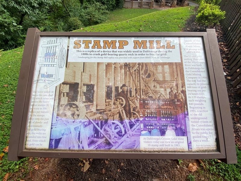
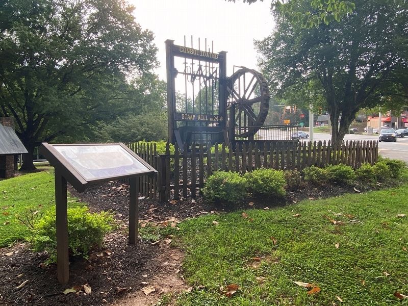
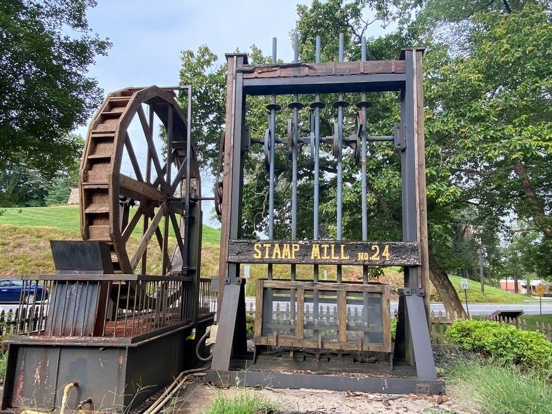
This is a replica of a device that was widely used in Dahlonega during the 1800s to crush gold-bearing quartz rock in order to free the gold.
Landscaping for this Stamp Mill replica was provided with support from BB&T bank in Dahlonega.
Inside of the Consolidated Gold Mine 120 stamp mill 1899-1906.
The largest gold-milling plant east of the Mississippi River was built in Dahlonega for the Consolidated Gold Mining Company in 1900. The mill had the capacity to process 600 tons of gold-bearing ore per 24 hours with its 120 stamps, each weighing 840 pounds. Beginning in 1991, a section of the old underground tunnel system of the Consolidated Mines was opened to the public for guided tours 7 days a week.
(captions)
The water wheel (1) turns the cam-shaft (2) which raises and lowers the heavy metal stamps (3) as many as 100 times per minute. As the stamps drop onto the pan (4) of slowly—and continuously—fed gold-bearing ore, the rocks are pounded into fine sand, from which the gold can be recovered.
At Dahlonega's Crisson Gold Mine visitors today can view an original 10-stamp mill built in 1883. Its stamps weigh 450 pounds each.
From the Vanishing Georgia collection, Georgia Archives Office of Secretary of State.
Topics. This historical marker is listed in this topic list: Industry & Commerce.
Location. 34° 31.639′ N, 83° 58.781′ W. Marker is in Dahlonega, Georgia, in Lumpkin County. Marker is at the intersection of South Chestatee and Morrison Moore Parkway (U.S. 19), on the right when traveling north on South Chestatee. Touch for map. Marker is at or near this postal address: 5019 S Chestatee, Dahlonega GA 30533, United States of America. Touch for directions.
Other nearby markers. At least 8 other markers are within walking distance of this marker. Madeleine Kiker Anthony (within shouting distance of this marker); Seven Oaks (approx. 0.3 miles away); Findley Ridge (approx. 0.4 miles away); Dahlonega Stories (approx. 0.4 miles away); a different marker also named Dahlonega Stories (approx. 0.4 miles away); a different marker also named Dahlonega Stories (approx. 0.4 miles away); Lumpkin Court House (approx. 0.4 miles away); a different marker also named Dahlonega Stories (approx. 0.4 miles away). Touch for a list and map of all markers in Dahlonega.
Also see . . .
1. Consolidated Gold Mining Company. (Submitted on September 23, 2021.)
2. Crisson Gold Mine. (Submitted on September 23, 2021.)
3. Dahlonega Gold Museum. Georgia State Parks & Historic Sites (Submitted on September 23, 2021.)
Credits. This page was last revised on September 23, 2021. It was originally submitted on September 22, 2021, by Darren Jefferson Clay of Duluth, Georgia. This page has been viewed 338 times since then and 75 times this year. Photos: 1, 2, 3. submitted on September 22, 2021, by Darren Jefferson Clay of Duluth, Georgia. • Bernard Fisher was the editor who published this page.


