Beverly in Toledo in Lucas County, Ohio — The American Midwest (Great Lakes)
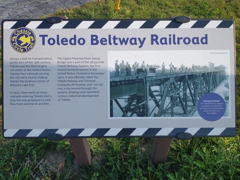
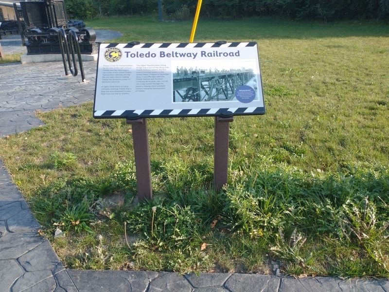
Toledo Beltway Railroad
Always a hub for transportation, by the turn of the 19th century Toledo was the third largest rail center in the United States. Twenty-four railroads serving the city were vital to making Toledo the business center of Western Lake Erie. In 1900, there were so many railroads entering Toledo that a loop line was proposed to ease flow from one line to another. The Upper Maumee River Swing Bridge was a part of the 28.59-mile Toledo Beltway System, the first neutral terminal system in the United States. Finished in December 1903, it was officially called the Toledo Railway and Terminal Company. At its peak, over 170 rail cars a day moved through the system, shaping early twentieth century industrial development of Toledo.
Did you know?
The Toledo Beltway System eventually extended over 56 miles and included branch lines, terminals and four bridges.
Topics. This historical marker is listed in this topic list: Railroads & Streetcars. A significant historical month for this entry is December 1903.
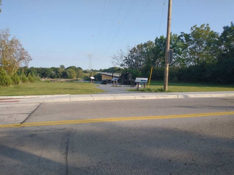
Location. 41° 34.941′ N, 83° 36.532′ W. Marker is in Toledo, Ohio, in Lucas County. It is in Beverly. Marker is at the intersection of River Road and Chessie Circle Trail, on the left when traveling south on River Road. Touch for map. Marker is at or near this postal address: 4580 River Rd, Toledo OH 43614, United States of America. Touch for directions.
Other nearby markers. At least 8 other markers are within 2 miles of this marker, measured as the crow flies. The Park Today (a few steps from this marker); The Bridge (a few steps from this marker); Chessie Circle Trail - River Rd. (within shouting distance of this marker); Lucas County Children's Home (approx. 0.6 miles away); Chessie Circle Trail - Copland Blvd. (approx. 0.8 miles away); The Great Trail (approx. 0.9 miles away); The Formidable Fort Miamis (approx. 1.1 miles away); Letters From 1794 / A Strategic Location (approx. 1.1 miles away). Touch for a list and map of all markers in Toledo.
Credits. This page was last revised on February 4, 2023. It was originally submitted on September 23, 2021, by Craig Doda of Napoleon, Ohio. This page has been viewed 186 times since then and 17 times this year. Photos: 1, 2, 3. submitted on September 23, 2021, by Craig Doda of Napoleon, Ohio. • Devry Becker Jones was the editor who published this page.


