Beverly in Toledo in Lucas County, Ohio — The American Midwest (Great Lakes)
The Bridge
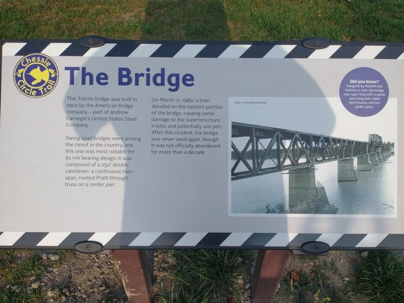
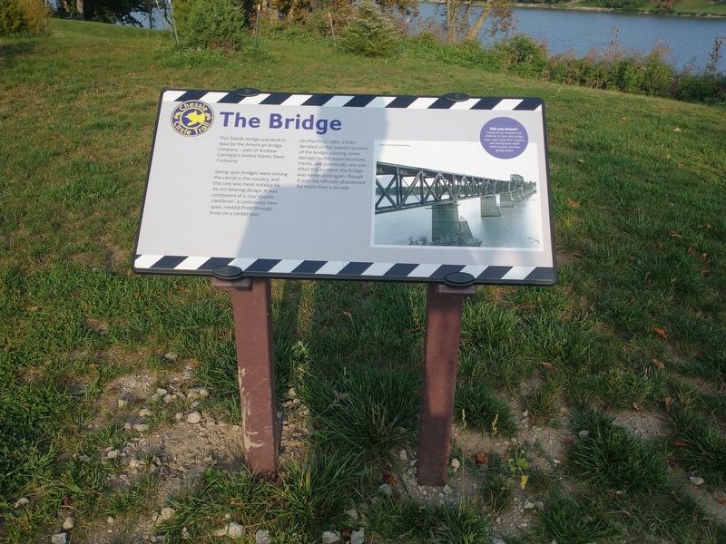
This Toledo bridge was built in 1902 by the American bridge company – part of Andrew Carnegie's United States Steel Company.
Swing span bridges were among the rarest in the country, and this one was most notable for its rim bearing design. It was composed of a 250' double cantilever – a continuous two-span, riveted Pratt through truss on a center pier.
On March 17, 1982, a train derailed on the eastern portion of the bridge, causing some damage to the superstructure, tracks, and potentially one pier. After this incident, the bridge was never used again, though it was not officially abandoned for more than a decade.
Did you know?
Designed by Waddell and Hedrick, in 1901, this bridge was 1,490' long with 11 spans: one swing span, eight deck trusses, and two girder spans.
Topics. This historical marker is listed in these topic lists: Bridges & Viaducts • Railroads & Streetcars. A significant historical date for this entry is March 17, 1982.
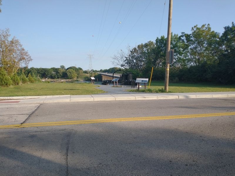
Location. 41° 34.931′ N, 83° 36.532′ W. Marker is in Toledo, Ohio, in Lucas County. It is in Beverly. Marker is at the intersection of River Road and Chessie Circle Trail, on the right when traveling north on River Road. Touch for map. Marker is at or near this postal address: 4580 River Rd, Toledo OH 43614, United States of America. Touch for directions.
Other nearby markers. At least 8 other markers are within 2 miles of this marker, measured as the crow flies. The Park Today (a few steps from this marker); Toledo Beltway Railroad (a few steps from this marker); Chessie Circle Trail - River Rd. (within shouting distance of this marker); Lucas County Children's Home (approx. 0.6 miles away); The Great Trail (approx. 0.9 miles away); Chessie Circle Trail - Copland Blvd. (approx. 0.9 miles away); The Formidable Fort Miamis (approx. 1.1 miles away); Letters From 1794 / A Strategic Location (approx. 1.1 miles away). Touch for a list and map of all markers in Toledo.
Credits. This page was last revised on February 4, 2023. It was originally submitted on September 23, 2021, by Craig Doda of Napoleon, Ohio. This page has been viewed 239 times since then and 51 times this year. Photos: 1, 2, 3. submitted on September 23, 2021, by Craig Doda of Napoleon, Ohio. • Devry Becker Jones was the editor who published this page.


