Port Clinton in Ottawa County, Ohio — The American Midwest (Great Lakes)
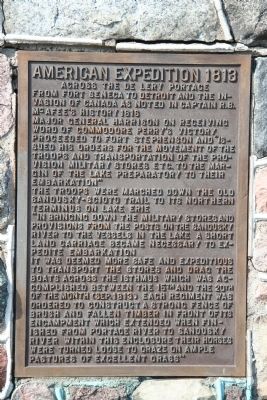
American Expedition 1813
Across the De Lery Portage
Major General Harrison on receiving word of Commodore Perry's victory proceeded to Fort Stephenson and "issued his orders for the movement of the troops and transportation of the provision military stores etc. to the margin of the lake preparatory to their embarkation."
The troops were marched down the old Sandusky-Scioto trail to its northern terminus on Lake Erie.
"In bringing down the military stores and provisions from posts on the Sandusky River to the vessels in the lake a short land carriage became necessary to expedite embarkation.
It was deemed more safe and expeditious to transport the stores and drag the boats across the isthmus which was accomplished between the 15th and the 20th of the month (Sep. 1813). Each regiment was ordered to construct a strong fence of brush and fallen timber in front of its encampment which extended when finished from Portage River to Sandusky River. Within this enclosure their horses were turned loose to graze on ample pastures of excellent grass."
Topics. This historical marker is listed in this topic list: War of 1812. A significant historical year for this entry is 1816.
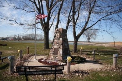
Location. 41° 30.828′ N, 82° 56.018′ W. Marker is in Port Clinton, Ohio, in Ottawa County. Marker is at the intersection of East Perry Street (State Road 163) and Fulton Street, on the right when traveling west on East Perry Street. This historical marker is located at the northern end of the De Lery Portage. The De Lery Portage ran north and south, from the southern shore of Lake Erie, to the northern shore of Sandusky Bay, along the length of modern day Fulton St., in Port Clinton, Ohio. Touch for map. Marker is in this post office area: Port Clinton OH 43452, United States of America. Touch for directions.
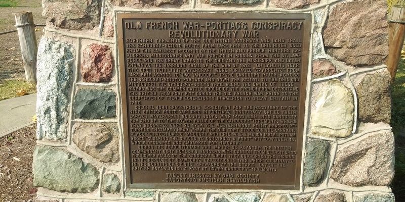
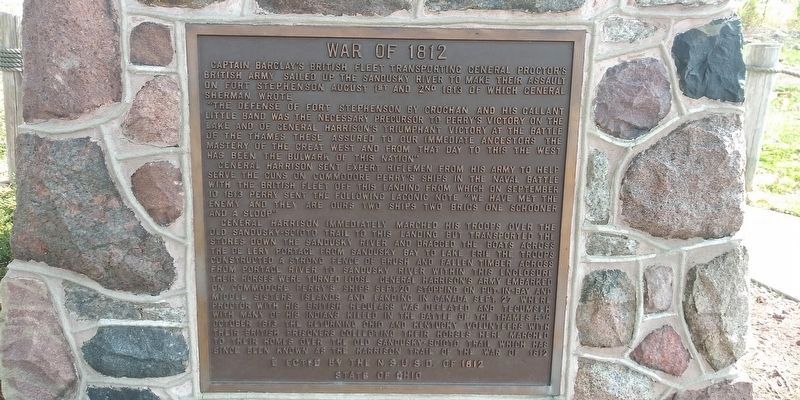
Other nearby markers. At least 8 other markers are within walking distance of this marker. War of 1812 (here, next to this marker); Keeper's Boathouse (about 500 feet away, measured in a direct line); Port Clinton Light Station (about 500 feet away); "Lightkeepers" (about 500 feet away); This Millstone (approx. 0.2 miles away); Battle Of Lake Erie Gun (approx. ¼ mile away); Indian Mill Stone (approx. ¼ mile away); This Anchor (approx. ¼ mile away). Touch for a list and map of all markers in Port Clinton.
More about this marker. This historical marker, like the northern end of the De Lery Portage, is located at the eastern edge of the mouth of the Portage River. It was the mouth of the Portage River that had served as a landmark, telling those travelers venturing along the shores of Lake Erie, seeking the De Lery Portage as a short cut to the Sandusky River, exactly where the portage was
located.
Related markers. Click here for a list of markers that are related to this marker. To better understand the relationship, study each marker in the order shown.
Credits. This page was last revised on January 29, 2021. It was originally submitted on April 24, 2009, by Dale K. Benington of Toledo, Ohio. This page has been viewed 1,134 times since then and 24 times this year. Photos: 1, 2. submitted on April 24, 2009, by Dale K. Benington of Toledo, Ohio. 3, 4. submitted on January 28, 2021, by Craig Doda of Napoleon, Ohio. • Christopher Busta-Peck was the editor who published this page.


