Victoria in Lunenburg County, Virginia — The American South (Mid-Atlantic)
Railroad History
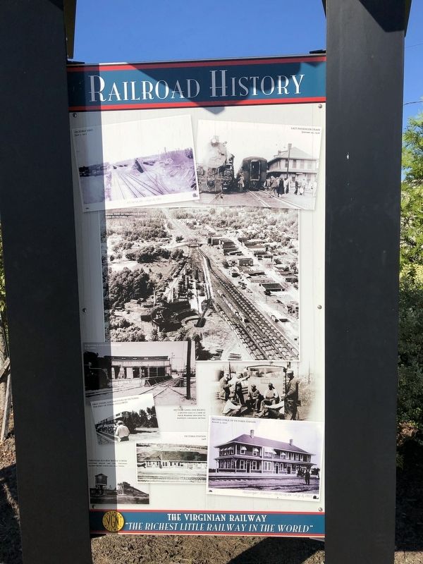
The Virginian Railway
"The richest little railway in the world"
[Captions:]
Victoria Yard
July 5, 1911
Last passenger train
January 29, 1956
Aerial view of Virginian Railway Yard in Victoria, 1957
Turntable and roundhouse
Late 1950's
First diesel locomotives in Victoria, the end of steam followed
Section gang (see right)
A section gang is a crew of track workers employed to maintain a railroad section
Second stage of Victoria Station
August 3, 1910
Victoria Station
1908
Virginian Railway Water Tower
Pictured below are the Virginian Railway Water Tower and Coal Tipple.
Topics. This historical marker is listed in these topic lists: African Americans • Industry & Commerce • Railroads & Streetcars. A significant historical date for this entry is January 29, 1956.
Location. 36° 59.567′ N, 78° 13.591′ W. Marker is in Victoria, Virginia, in Lunenburg County. Marker is at the intersection of Firehouse Road and 6th Street, on the right when traveling north on Firehouse Road. Touch for map. Marker is at or near this postal address: 1301 6th St, Victoria VA 23974, United States of America. Touch for directions.
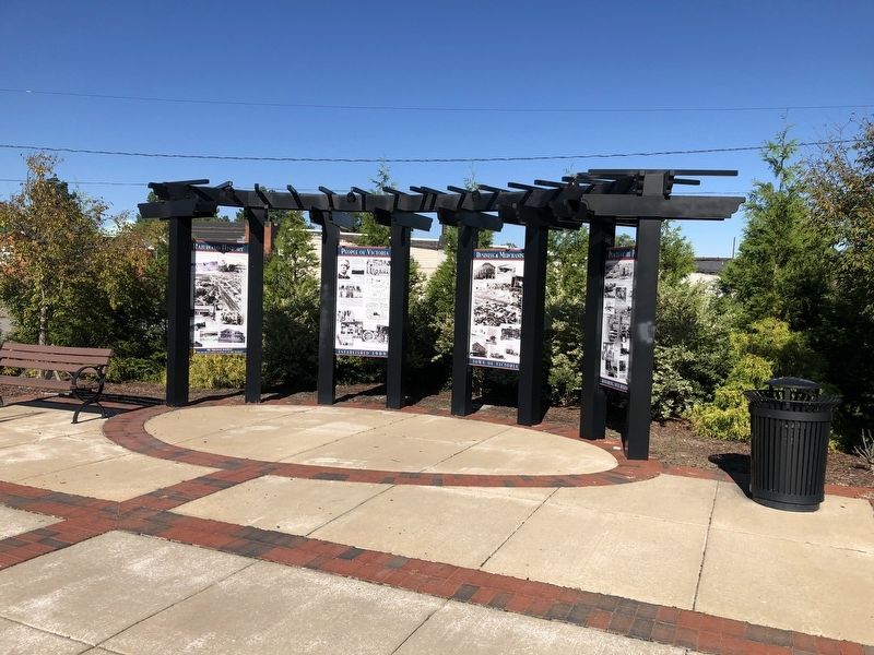
Other nearby markers. At least 8 other markers are within 3 miles of this marker, measured as the crow flies. People of Victoria (here, next to this marker); Businesses & Merchants (here, next to this marker); Places of the Past (here, next to this marker); Town of Victoria (about 300 feet away, measured in a direct line); The Peoples Community Center (approx. half a mile away); Nathaniel Lee Hawthorne (approx. 0.7 miles away); Lunenburg High School (approx. 1˝ miles away); Lunenburg County Confederate Monument (approx. 3.1 miles away). Touch for a list and map of all markers in Victoria.
Credits. This page was last revised on September 26, 2021. It was originally submitted on September 26, 2021, by Devry Becker Jones of Washington, District of Columbia. This page has been viewed 167 times since then and 30 times this year. Photos: 1, 2. submitted on September 26, 2021, by Devry Becker Jones of Washington, District of Columbia.

