Weldon Spring in St. Charles County, Missouri — The American Midwest (Upper Plains)
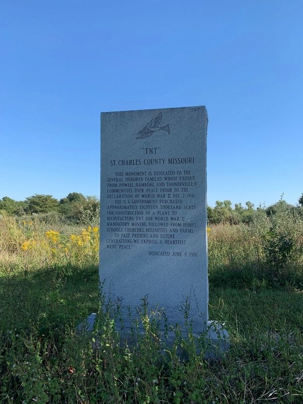
"TNT"
St. Charles County Missouri
Erected 1986.
Topics. This historical marker is listed in these topic lists: Industry & Commerce • Settlements & Settlers • War, World II. A significant historical date for this entry is December 7, 1941.
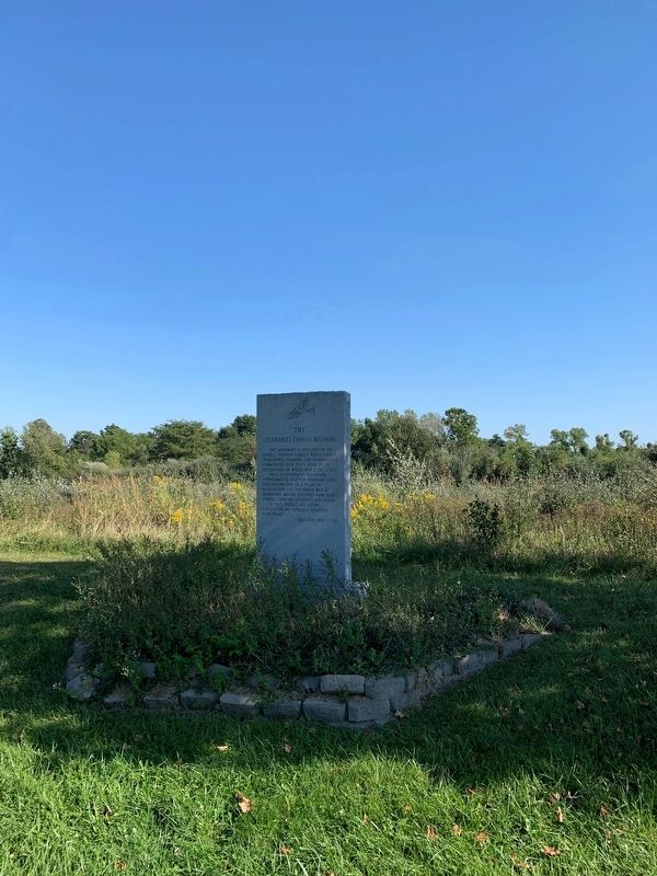
Location. 38° 42.467′ N, 90° 42.12′ W. Marker is in Weldon Spring, Missouri, in St. Charles County. Marker is on State Highway 94, 0.2 miles east of Miller School Road, on the left when traveling west. Touch for map. Marker is in this post office area: Saint Charles MO 63304, United States of America. Touch for directions.
Other nearby markers. At least 8 other markers are within 5 miles of this marker, measured as the crow flies. The Weldon Spring Site (approx. 1˝ miles away); Missouri River Greenway - Monarch-Chesterfield Levee Trail (approx. 3.9 miles away); a different marker also named Weldon Spring Site (approx. 4 miles away); Weldon Spring to Greens Bottom (approx. 4 miles away); Weldon Spring to Matson (approx. 4.1 miles away); John L. LeCave Memorial Trailhead (approx. 4.2 miles away); Historic Centaur (approx. 4.3 miles away); Historic Monarch (approx. 4.4 miles away). Touch for a list and map of all markers in Weldon Spring.
Additional commentary.
1.
Note To Editor only visible by Contributor and editor
— Submitted September 27, 2021, by Thomas Smith of Waterloo, Ill.
Credits. This page was last revised on October 2, 2021. It was originally submitted on September 27, 2021, by Thomas Smith of Waterloo, Ill. This page has been viewed 290 times since then and 49 times this year. Photos: 1, 2. submitted on September 27, 2021, by Thomas Smith of Waterloo, Ill. • Devry Becker Jones was the editor who published this page.

