Gregory in San Patricio County, Texas — The American South (West South Central)
Gregory
A U.S. Post office opened on March 8,1887, and the new community grew quickly, soon boasting stores hotels, banks, and other businesses, as well as a school and several churches as many as seven trains passed through the Junction on daily round-trip schedules.
By 1900 the town's population had reached 400, and the community received another boost when the Coleman-Fulton Pasture Company relocated its main office here from Rockport. The company built the 3-story Green Hotel in 1909, and many train travelers relied on Gregory as a stopover point. Although the company headquarters and the Green Hotel both relocated to Taft in the 1920s, the town survived and remains a viable residential community.
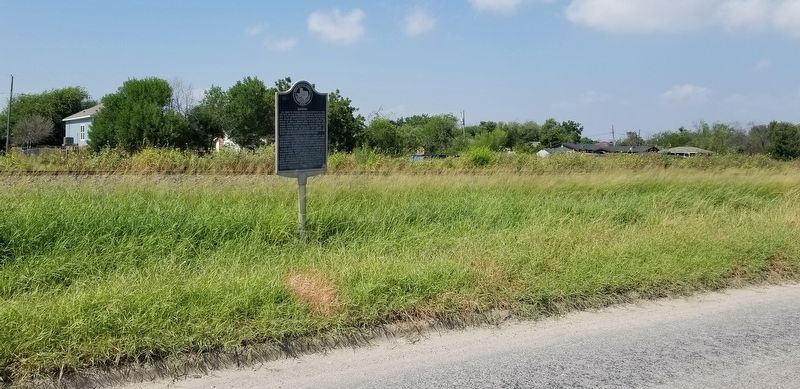
Erected 1994 by Texas Historical Commission. (Marker Number 2281.)
Topics. This historical marker is listed in these topic lists: Industry & Commerce • Railroads & Streetcars • Settlements & Settlers. A significant historical date for this entry is March 8, 1887.
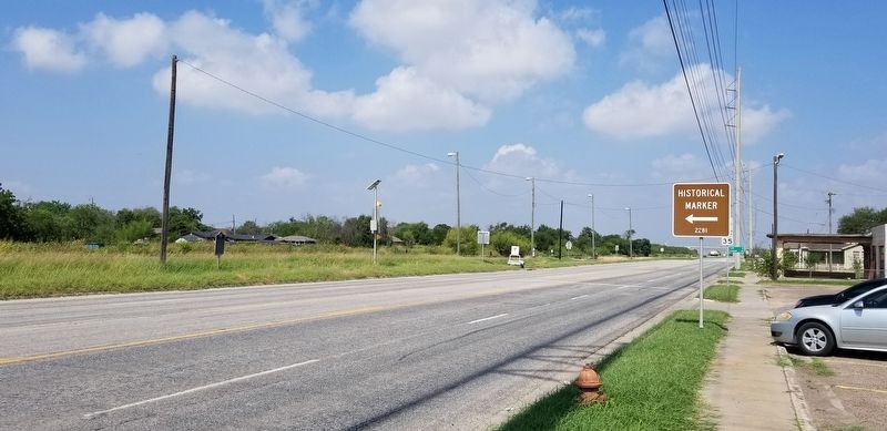
Location. 27° 55.394′ N, 97° 17.541′ W. Marker is in Gregory, Texas, in San Patricio County. Marker is at the intersection of West 4th Street (State Highway 202) and Avenue C (Farm to Market Road 3284), on the left when traveling west on West 4th Street. The marker is located along the highway. Touch for map. Marker is at or near this postal address: 206 West 4th Street, Gregory TX 78359, United States of America. Touch for directions.
Other nearby markers. At least 8 other markers are within 7 miles of this marker, measured as the crow flies. Joseph French Green and La Quinta Mansion (within shouting distance of this marker); Gregory Schools (approx. 0.2 miles away); Chat Work Club (approx. 2.1 miles away); Site of Bay View College (approx. 4.1 miles away); Site of Indian Point Mass Grave of 1919 Hurricane Victims (approx. 5.8 miles away); Rincon Ranch (approx. 5.9 miles away); Reef Road (approx. 6 miles away); Late Pleistocene Ingleside Fauna (approx. 6.8 miles away). Touch for a list and map of all markers in Gregory.
Credits. This page was last revised on September 28, 2021. It was originally submitted on September 28, 2021, by James Hulse of Medina, Texas. This page has been viewed 286 times since then and 31 times this year. Photos: 1, 2, 3. submitted on September 28, 2021, by James Hulse of Medina, Texas.


