Greendale Historic District in Milwaukee County, Wisconsin — The American Midwest (Great Lakes)
Greendale, Wisconsin
...had its beginnings in 1936, when the U.S. Department of Agriculture began construction of three new communities known as the Greenbelt towns. Besides Greendale, the other two towns are Greenbelt, Maryland and Greenhills, Ohio.
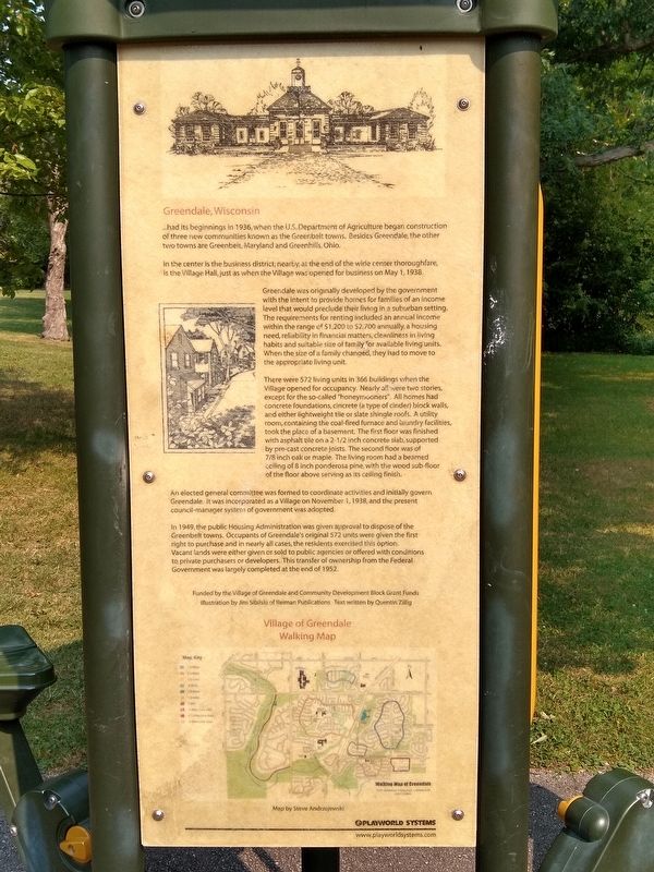
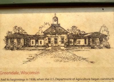
In the center is the business district, nearby at the end of the wide center thoroughfare, is the Village Hall, just as when the Village was opened for business on May 1, 1938.
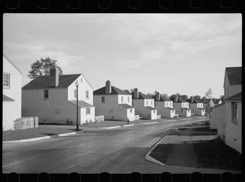
Greendale was originally developed by the government with the intent to provide homes for families of an income level that would preclude their living in a suburban setting. The requirements for renting included an annual income within the range of $1,200 and $2,700 annually, a housing need, reliability in financial matters, cleanliness in living habits and suitable size of family for available living units. When the size of a family changed, they had to move to the appropriate living unit.
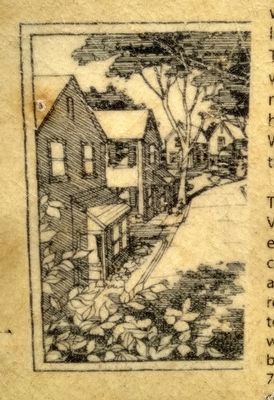
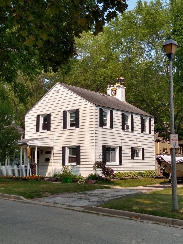
There were 572 living units in 366 buildings when the Village opened for occupancy. Nearly all were two stories, except for the so-called "honeymooners". All homes had concrete foundations, cincrete (a type of cinder) block walls, and either lightweight tile or slate shingle roofs. A utility room, containing the coal-fired furnace and laundry facilities, took the place of a basement. The first floor was finished with asphalt tile on a 2-1/2 inch concrete slab, supported by pre-cast concrete joists. The second floor was of 7/8 inch oak or maple. The living room had a beamed ceiling of 8 inch ponderosa pine, with the wood sub-floor of the floor above serving as its ceiling finish.
An elected general committee was formed to coordinate activities and initially govern Greendale. It was incorporated as a Village on November 1, 1938, and the present council-manager system of government was adopted.
In 1949, the public Housing Administration was given approval to dispose of the Greenbelt towns. Occupants of Greendale's original 572 units were given the first right to purchase and in nearly all cases, the residents exercised this option. Vacant lands were either given or sold to public agencies or offered with conditions to private purchasers or developers. This transfer of ownersip from the Federal Government was largely completed at the end of 1952.
Illustration by Jim Sibilski of Reiman Publications. Text written by Quentin Zillig
Topics. This historical marker is listed in this topic list: Notable Places. A significant historical date for this entry is May 1, 1938.
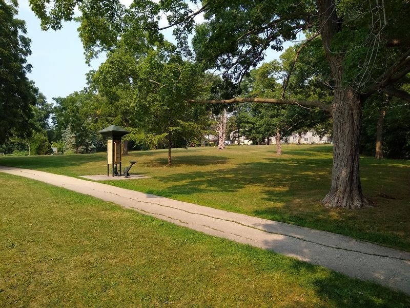
Location. 42° 56.455′ N, 87° 59.676′ W. Marker is in Greendale, Wisconsin, in Milwaukee County. It is in the Greendale Historic District. Marker can be reached from Schoolway east of Broad Street, on the left when traveling east. Marker is along a path in Dale Creek Park, east of Greendale's shopping district and 210 feet north of Schoolway. Touch for map. Marker is in this post office area: Greendale WI 53129, United States of America. Touch for directions.
Other nearby markers. At least 8 other markers are within walking distance of this marker. Gazebo is Our 'Gathering Place' (about 400 feet away, measured in a direct line); Eleanor Was Here! (about 400 feet away); An Ideal Location (about 400 feet away); Greendale is 'Alphabetized' (about 500 feet away); Greendale Was Roosevelt's Idea (about 500 feet away); Picture This - Our Own Theatre! (about 600 feet away); Eleanor's Visit (about 600 feet away); A "Greenbelt Community" (about 600 feet away). Touch for a list and map of all markers in Greendale.
Also see . . . Greendale, Wisconsin. Wikipedia entry excerpt: "Greendale was one of three "Greenbelt" communities constructed by the Resettlement Administration, starting in 1936, as part of President Franklin Roosevelt's New Deal. The communities were built to demonstrate a new kind of suburban living, with housing situated within easy walking distance of gardens, employment and the town center. The other Greenbelt communities were Greenbelt, Maryland and Greenhills, Ohio. The communities were designed with three goals in mind: to combine the advantages of city and country life; to provide good housing at reasonable prices for moderate income families; and to provide jobs to unemployed workers. The planners and selection committees excluded African American families from renting homes and created a racially segregated and all-white suburban community." (Submitted on September 30, 2021, by Joel Seewald of Madison Heights, Michigan.)
Credits. This page was last revised on February 16, 2023. It was originally submitted on September 30, 2021, by Joel Seewald of Madison Heights, Michigan. This page has been viewed 190 times since then and 17 times this year. Photos: 1, 2, 3, 4, 5, 6, 7. submitted on September 30, 2021, by Joel Seewald of Madison Heights, Michigan.
