Boerum Hill in Brooklyn in Kings County, New York — The American Northeast (Mid-Atlantic)
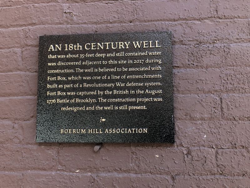
An 18th Century Well
Erected by Boerum Hill Association.
Topics. This historical marker is listed in these topic lists: Forts and Castles • War, US Revolutionary. A significant historical month for this entry is August 1776.
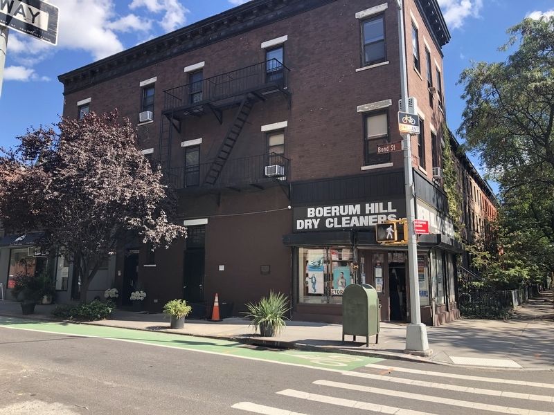
Location. 40° 41.183′ N, 73° 59.107′ W. Marker is in Brooklyn, New York, in Kings County. It is in Boerum Hill. Marker is on Bond Street just north of Pacific Street, on the right when traveling north. Touch for map. Marker is at or near this postal address: 391 Pacific St, Brooklyn NY 11217, United States of America. Touch for directions.
Other nearby markers. At least 8 other markers are within walking distance of this marker. St. Cyril's of Turau Cathedral (about 300 feet away, measured in a direct line); The Hoyt Street Garden (about 700 feet away); The History of the Hoyt Street Garden (about 700 feet away); Did You Know? (about 700 feet away); Fort Masonic (approx. 0.2 miles away); a different marker also named Did You Know? (approx. 0.2 miles away); a different marker also named Did You Know? (approx. ¼ mile away); a different marker also named Did You Know? (approx. ¼ mile away). Touch for a list and map of all markers in Brooklyn.
Credits. This page was last revised on January 31, 2023. It was originally submitted on October 3, 2021, by Devry Becker Jones of Washington, District of Columbia. This page has been viewed 339 times since then and 35 times this year. Photos: 1, 2. submitted on October 3, 2021, by Devry Becker Jones of Washington, District of Columbia.

