Deadwood in Lawrence County, South Dakota — The American Midwest (Upper Plains)
Deadwood’s Boy Scout Tree Project
— A Trail to Deadwood's Past —
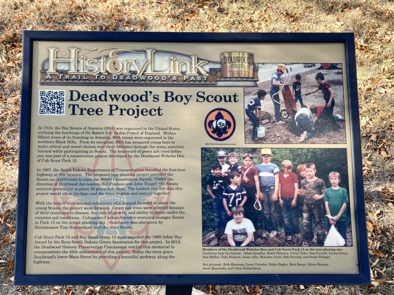
In 1987, the South Dakota Department of Transportation installed the four-lane highway at this location. The proposed tree planting project provided the Scouts an opportunity to earn the World Conservation Award. Under the direction of Deadwood den leaders Bill Pearson and John Teupel, the Scouts received permission to plant 39 green ash trees. The leaders also felt that this project would allow the boys and the trees to grow and mature together.
With the help of civic-minded volunteers who stepped forward to assist the young Scouts, the project went forward. Green ash trees were selected because of their resistance to disease, fast rate of growth, and ability to thrive under the resistive soil conditions. Cubmaster Carlton Spindler recruited younger Scouts in Pack 15 on the actual planting day. Assistance was also given by Scoutmaster Tom Huhnerkoch and the older Scouts.
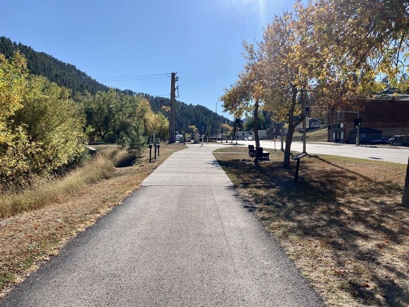
Cub Scout Pack 15 and Boy Scout Troop 15 were awarded the 1989 Arbor Day Award by the Keep South Dakota Green Association for this project. In 2012, the Deadwood Historic Preservation Commission erected this memorial to commemorate the 25th anniversary of this project. Today the trees grace Deadwood's lower Main Street by providing a beautiful parkway along the highway.
Captions:
BSA World Conservation Award
Members of the Deadwood Webelos Den and Cub Scout Pack 15 at the tree planing site.
Erected by Deadwood Historic Preservation Commission.
Topics. This historical marker is listed in these topic lists: Charity & Public Work • Fraternal or Sororal Organizations • Horticulture & Forestry. A significant historical year for this entry is 1987.
Location. 44° 23.003′ N, 103° 43.306′ W. Marker is in Deadwood, South Dakota, in Lawrence County. Marker is at the intersection of Main Street (U.S. 85) and McKinley Street, on the left when traveling south on Main Street. Touch for map. Marker is in this post office area: Deadwood SD 57732, United States of America. Touch for directions.
Other nearby markers. At least 8 other markers are within walking distance of this marker. Placer Claim No. 2 above Discovery (about 500 feet away, measured in a direct line); Elizabethtown
(approx. 0.2 miles away); First Deadwood Gold Discovery (approx. ¼ mile away); Wild Bill Hickok (approx. ¼ mile away); Chinatown (approx. 0.4 miles away); Historic Facade Replication (approx. half a mile away); Historic Site Saloon Number 10 (approx. half a mile away); The Badlands (approx. half a mile away). Touch for a list and map of all markers in Deadwood.
Credits. This page was last revised on October 8, 2021. It was originally submitted on October 6, 2021, by Connor Olson of Kewaskum, Wisconsin. This page has been viewed 107 times since then and 8 times this year. Photos: 1, 2. submitted on October 6, 2021, by Connor Olson of Kewaskum, Wisconsin. • Mark Hilton was the editor who published this page.

