
Deadwood in Lawrence County, South Dakota — The American Midwest (Upper Plains)
Civic Stability
| — | A Trail to Deadwood's Past | — |
Photographed by Connor Olson, October 6, 2021
1. Civic Stability Marker (replacement marker)
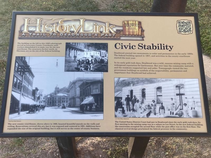
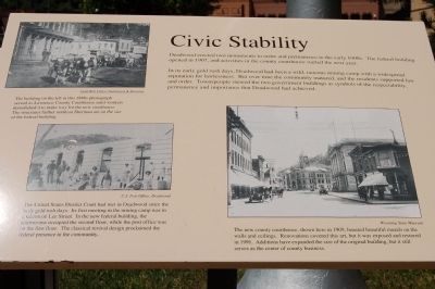
In its early gold rush days, Deadwood was a wild, raucous mining camp with a widespread reputation for lawlessness. But over time the community matured, and the residents supported law and order. Townspeople viewed the two government buildings as symbols of the respectability, permanence and importance that Deadwood had achieved.
Captions:
The building on the left in this 1800s photograph served as Lawrence County Courthouse until workers demolished it to make way for the new courthouse. The structures farther north on Sherman are on the site of the federal building.
The new county courthouse, shown here in 1909, boasted beautiful murals on the walls and ceilings. Renovations covered this art, but it was exposed and restored in 1991. Additions have expanded the size of the original building, but it still serves at the center of county business.
The United States District Court had met in Deadwood since the early gold rush days. Its first meeting in the mining camp was in a saloon on Lee Street. In the new federal building, the courtrooms occupied the second floor while the post office was on the first. The classical revival design proclaimed the federal presence in the community.
this page online
Erected by Deadwood Historic Preservation Commission.
Topics. This historical marker is listed in this topic list: Government & Politics. A significant historical year for this entry is 1907.
Location. 44° 22.506′ N, 103° 43.764′ W. Marker is in Deadwood, South Dakota, in Lawrence County. It is at the intersection of Sherman Street and Pine Street on Sherman Street. Located next to the Post Office building. Touch for map. Marker is in this post office area: Deadwood SD 57732, United States of America. Touch for directions.

Regionally, this marker is in West River. It is also in the American Black Hills, in the Lewis & Clark Corridor, on the prairies, and on the Northern Plains. Globally, it is in North America, the Western Hemisphere, the Western World, and the Anglosphere. Historically, it finds itself in what was once Rupert’s Land and also the Louisiana Purchase.
Other nearby markers. At least 8 other markers are within walking distance of this marker: Job Corps Project (a few steps from this marker); President Taft Comes to Deadwood (within shouting distance of this marker); Lawrence County Great World War Memorial
Photographed by Connor Olson, October 6, 2021
2. Civic Stability Marker
Photographed by Barry Swackhamer, July 1, 2009
3. Civic Stability Marker
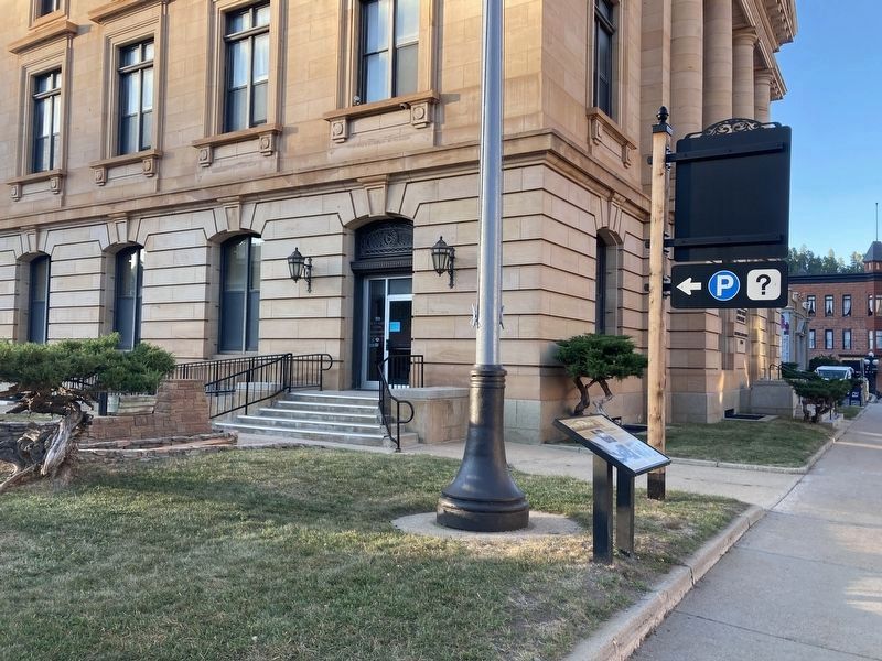
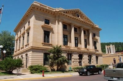
The marker is located to the left of the Post Office building, to the left of the just visible flag pole.
Historic Deadwood Walkiing Tour brochure, circa 2004
4. Deadwood's Federal Plaza
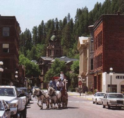
Lawrence County Courthouse at the end of the street.
Photographed by Barry Swackhamer, July 23, 2009
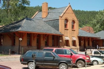
5. Deadwood Railroad Depot, now Visitor's Center
Photographed by Barry Swackhamer, July 23, 2009
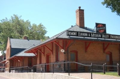
6. Deadwood Railroad Depot, now Visitor's Center
Photographed by Barry Swackhamer, July 23, 2009
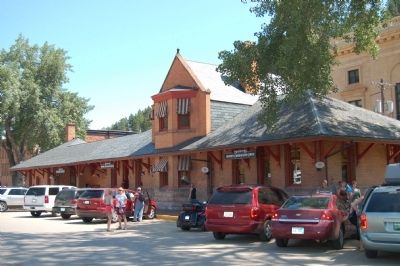
7. Deadwood Railroad Depot, now Visitor's Center
Photographed by Barry Swackhamer, July 23, 2009
8. Former Civic Stability Marker
Credits. This page was last revised on October 8, 2021. It was originally submitted on November 20, 2011, by Barry Swackhamer of Brentwood, California. This page has been viewed 976 times since then and 11 times this year. Last updated on October 7, 2021, by Connor Olson of Menomonee Falls, Wisconsin. Photos: 1, 2. submitted on October 7, 2021, by Connor Olson of Menomonee Falls, Wisconsin. 3, 4, 5, 6, 7, 8. submitted on November 20, 2011, by Barry Swackhamer of Brentwood, California. • Mark Hilton was the editor who published this page.
