La Grange in Fayette County, Texas — The American South (West South Central)
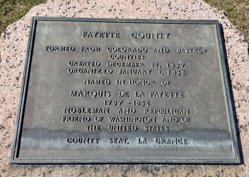
Fayette County
Counties
Created December 14, 1837
Organized January 1, 1838
Named in Honor of
Marquis de la Fayette
1757-1834
Nobleman and Republican Friend of
Washington and of the United States
County Seat, La Grange
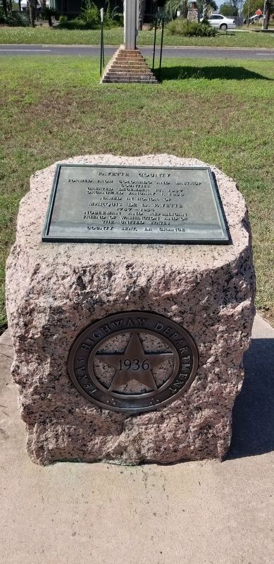
Erected 1936 by Texas Highway Department. (Marker Number 1579.)
Topics and series. This historical marker is listed in this topic list: Government & Politics. In addition, it is included in the Texas 1936 Centennial Markers and Monuments series list. A significant historical date for this entry is January 1, 1838.
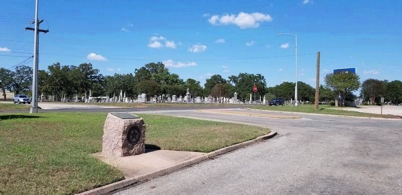
Location. 29° 54.569′ N, 96° 52.113′ W. Marker is in La Grange, Texas, in Fayette County. Marker is at the intersection of Lester Street and North College Street, on the right when traveling west on Lester Street. The marker is located in a small grassy square next to Highway 71 Buisness. Touch for map. Marker is in this post office area: La Grange TX 78945, United States of America. Touch for directions.
Other nearby markers. At least 8 other markers are within walking distance of this marker. Fayette County, C.S.A. (about 300 feet away, measured in a direct line); James Seaton Lester (about 300 feet away); Old City Cemetery (about 400 feet away); Yellow Fever Epidemic of 1867 (about 700 feet away); St. James Episcopal Church (approx. 0.3 miles away); Bradshaw-Killough House (approx. 0.4 miles away); Webb-Schneider House (approx. 0.4 miles away); Casino Hall (approx. half a mile away). Touch for a list and map of all markers in La Grange.
Also see . . .
1. Gilbert du Motier, Marquis de Lafayette.
Marie-Joseph Paul Yves Roch Gilbert du Motier, Marquis de La Fayette (6 September 1757 – 20 May 1834), known in the United States as Lafayette (/ˌlɑːfiːˈɛt, ˌlæf-/,[2] French: [lafajɛt]), was a French aristocrat and military officer who fought in the American Revolutionary War, commanding American troops in several battles, including the siege of Yorktown. After returning to France, he was a key figure in the French Revolution of 1789 and the July Revolution of 1830. He has been considered a national hero in both countries. Source; Wikipedia(Submitted on October 7, 2021, by James Hulse of Medina, Texas.)
2. Fayette County.
Fayette County is on Interstate Highway 10 sixty miles southeast of Austin in the Blackland Prairies region of south central Texas. The center of the county lies at 29°55' north latitude and 96°55' west longitude. La Grange is the county seat and largest community. Source: The Handbook of Texas(Submitted on October 7, 2021, by James Hulse of Medina, Texas.)
Credits. This page was last revised on October 7, 2021. It was originally submitted on October 7, 2021, by James Hulse of Medina, Texas. This page has been viewed 135 times since then and 26 times this year. Photos: 1, 2, 3. submitted on October 7, 2021, by James Hulse of Medina, Texas.


