Burlingame in San Mateo County, California — The American West (Pacific Coastal)
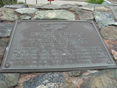
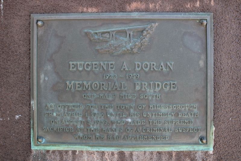
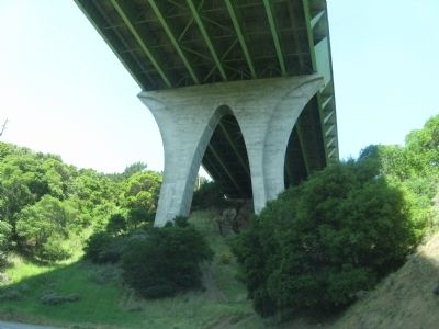
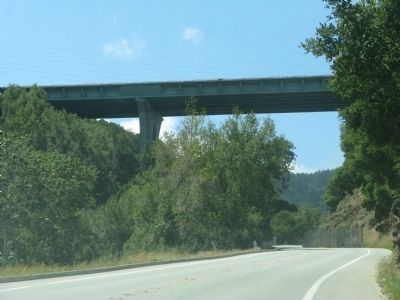
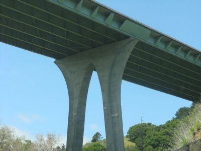
Eugene A. Doran Memorial Bridge
1922 – 1959
— One-Half Mile South —
Topics. This historical marker is listed in this topic list: Bridges & Viaducts. A significant historical month for this entry is April 1911.
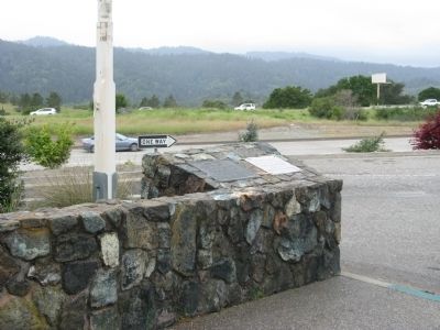
Location. 37° 32.336′ N, 122° 21.861′ W. Marker is in Burlingame, California, in San Mateo County. Marker can be reached from State Highway 280. Marker is located at the Ralph D. Percival Memorial Vista Point on Northbound State Highway 280. Touch for map. Marker is in this post office area: Burlingame CA 94010, United States of America. Touch for directions.
Other nearby markers. At least 8 other markers are within 3 miles of this marker, measured as the crow flies. Officer Eugene A. Doran (approx. 0.6 miles away); A Feat of Gravity (approx. 0.6 miles away); 100th Anniversary of the Crystal Springs Dam (approx. 0.6 miles away); The Last Stagecoach Hold-Up In San Mateo County (approx. 0.7 miles away); Historic Camp Site (approx. 2˝ miles away); Higurashi-en (approx. 2˝ miles away); First Business Structure (approx. 2.7 miles away); Mission Hospice (approx. 2.7 miles away).
Additional commentary.
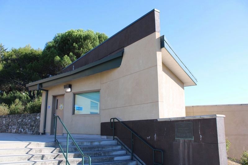
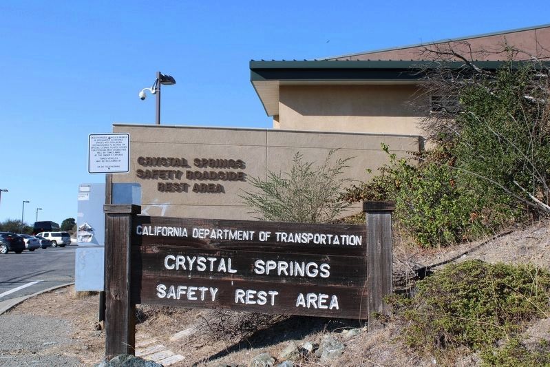
1. Marker Moved
The area has been reconstructed and the primary marker mounted in a concrete wall in the same general area. The secondary marker is nowhere to be seen.
— Submitted October 10, 2022, by Joseph Alvarado of Livermore, California.
Credits. This page was last revised on October 31, 2022. It was originally submitted on April 26, 2009, by Syd Whittle of Mesa, Arizona. This page has been viewed 2,403 times since then and 38 times this year. Photos: 1. submitted on April 26, 2009, by Syd Whittle of Mesa, Arizona. 2, 3. submitted on April 27, 2009, by Syd Whittle of Mesa, Arizona. 4, 5. submitted on October 10, 2022, by Joseph Alvarado of Livermore, California. 6, 7, 8. submitted on April 27, 2009, by Syd Whittle of Mesa, Arizona. 9. submitted on October 31, 2022, by Joseph Alvarado of Livermore, California.
