Eva in Benton County, Tennessee — The American South (East South Central)
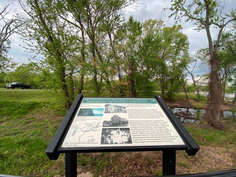
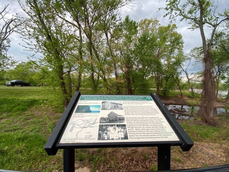
Eva, A Community of the Western Banks of the Tennessee River
Inscription.
"The river, a small rivercraft landing, its proximity to the N. B. Forrest State Park, and the Methodist assembly ground…make it attractive to visitors."
- Tennessee County History Series
The town of Eva began its life as Bartlett's Switch in 1868. After the expansion of a rail line from Johnsonville in 1871, the town reorganized. Soon after, it adopted the name of Eva.
The development of the railway from Nashville spurred the development of the community. It brought in people from the region. These visitors in turn spent money in the town. At the same time, railroad employees became residents. At its peak, the town was home to a railway depot and tomato cannery. Also, the town boasted blacksmith shops, several stores, and saloons along its streets.
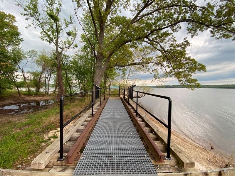
The Tennessee Valley Authority completed the Gilbertsville Dam in 1944. As a result, the Louisville Nashville Railroad relocated its tracks. The new location ran through the town of New Johnsonville a couple of miles upstream. This rerouted line bypassed Eva and rail traffic no longer passed through the town. As a result, the town began to decline. Within a few years many of the towns businesses dried up. The only evidence of the thriving community were the abandoned trestles and tracks. You can see the remains of the Tennessee River bridge here stretching across the lake.
[Captions:]
Right The Railroad Depot at Eva, pictured in the early 1900s
Below The remains of the railroad bridge abutments now in the center of Kentucky Lake
Right The Methodist Church in Eva, some time in the early 1900s
Below: A Map showing the original and current rail lines around Eva
Right: School children at Eva school sometime in the early 1900s
Erected by Tennessee State Parks.
Topics. This historical marker is listed in these topic lists: Railroads & Streetcars • Settlements & Settlers. A significant historical year for this entry is 1868.
Location. 36° 3.643′ N, 87° 59.835′ W. Marker is in Eva, Tennessee, in Benton County. Marker can be reached from Eva Beach Drive, 0.2 miles east of Lucas Road, on the right when traveling east. Touch for map. Marker is in this post office area: Eva TN 38333, United States of America. Touch for directions.
Other nearby markers. At least 8 other markers are within 2 miles of this marker, measured as the crow flies. The Tennessee River Railroad Bridge (here, next to this marker); Railroads, A Force for Development (here, next to this marker); Eva Archaic Site (about 500 feet away, measured in a direct line); Bombarding Johnsonville (about 700 feet away); Winfrey Cemetery
(approx. 1.7 miles away); Lower Redoubt (approx. 1.7 miles away); The Tennessee River in the Civil War (approx. 1.7 miles away); The Union Supply Depot (approx. 1.7 miles away). Touch for a list and map of all markers in Eva.
Credits. This page was last revised on October 13, 2021. It was originally submitted on October 11, 2021, by Darren Jefferson Clay of Duluth, Georgia. This page has been viewed 213 times since then and 20 times this year. Photos: 1, 2, 3. submitted on October 11, 2021, by Darren Jefferson Clay of Duluth, Georgia. • Devry Becker Jones was the editor who published this page.


