Shindler in Lincoln County, South Dakota — The American Midwest (Upper Plains)
Shindler
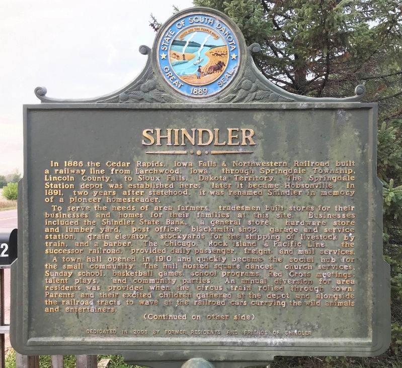
To serve the needs of area farmers, tradesmen built stores for their businesses and homes for their families at this site. Businesses included the Shindler State Bank, a general store, hardware store and lumber yard, post office, blacksmith shop, garage and service station, grain elevator, stockyards for the shipping of livestock by train, and a barber. The Chicago, Rock Island & Pacific Line, the successor railroad, provided daily passenger, freight, and mail services.
A town hall opened in 1910 and quickly became the social hub for the small community. The hall hosted square dances, church services, Sunday school, basketball games, school programs, Red Cross meetings, talent plays, and community parties. An annual diversion for area residents was provided when the circus train rolled through town. Parents and their excited children gathered at the depot and alongside the railroad tracts to wave at the railroad cars carrying the wild animals and entertainers.
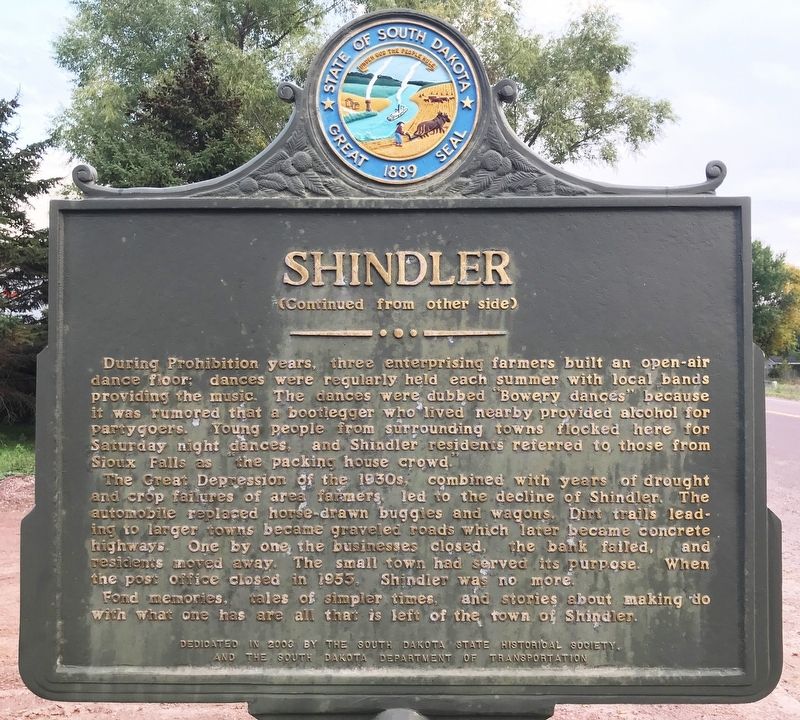
During Prohibition years, three enterprising farmers built an open-air dance floor; dances were regularly held each summer with local bands providing the music. The dances were dubbed "Bowery dances" because it was rumored that a bootlegger who lived nearby provided alcohol for partygoers. Young people from surrounding towns flocked here for Saturday night dances, and Shindler residents referred to those from Sioux Falls as "the packing house crowd."
The Great Depression of the 1930s, combined with years of drought and crop failures of area farmers, led to the decline of Shindler. The automobile replaced horse-drawn buggies and wagons. Dirt trails leading to larger towns became graveled roads which later became concrete highways. One by one the businesses closed, the bank failed, and residents moved away. The small town had served its purpose. When the post office closed in 1953, Shindler was no more.
Fond memories, tales of simpler times, and stories about making do with what one has are all that is left of the town of Shindler.
Erected 2003 by former residents and friends of Shindler, the South Dakota State Historical Society, and the South Dakota Department of Transportation. (Marker Number 701.)
Topics and series. This historical marker is listed in these topic lists: Railroads & Streetcars • Settlements & Settlers. In addition, it is included in the South Dakota State Historical Society Markers series list. A significant historical year for this entry is 1886.
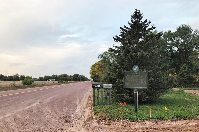
Location. 43° 28.286′ N, 96° 38.924′ W. Marker is in Shindler, South Dakota, in Lincoln County. Marker is on 478th Avenue (South Dakota Route 11) ¾ mile north of 271st Street (County Road 106), on the right when traveling north. Touch for map. Marker is at or near this postal address: 27022 478th Ave, Sioux Falls SD 57106, United States of America. Touch for directions.
Other nearby markers. At least 8 other markers are within 3 miles of this marker, measured as the crow flies. Why the Name “Good Earth”? (approx. 2.8 miles away); 1300s (approx. 2.8 miles away); 1980s (approx. 2.8 miles away); 1870s to the Present (approx. 2.8 miles away); 1888 (approx. 2.8 miles away); 1600s (approx. 2.8 miles away); Sacred Images (approx. 2.8 miles away); 1870s (approx. 2.8 miles away).
Credits. This page was last revised on October 15, 2021. It was originally submitted on October 12, 2021. This page has been viewed 237 times since then and 61 times this year. Photos: 1, 2, 3. submitted on October 12, 2021. • Mark Hilton was the editor who published this page.


