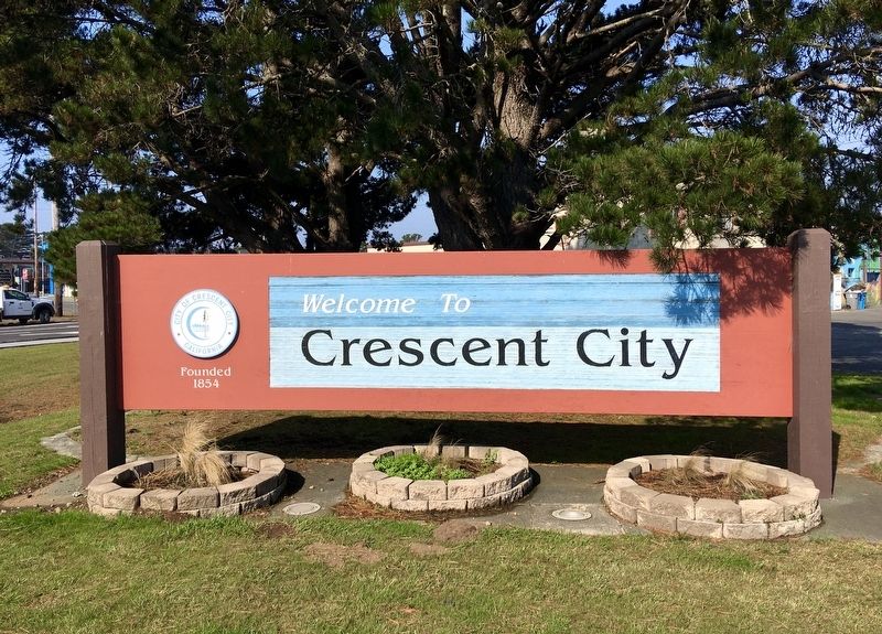
Crescent City in Del Norte County, California — The American West (Pacific Coastal)
Tsunami !
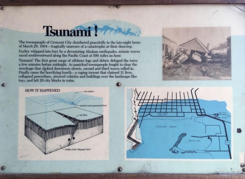
The townspeople of Crescent City slumbered peacefully in the late-night hours of March 28, 1964 - tragically unaware of a catastrophe at their doorstep. Earlier whipped into fury by a devastating Alaskan earthquake, seismic waves raced southwestward along the Pacific Coast at 500 miles an hour.
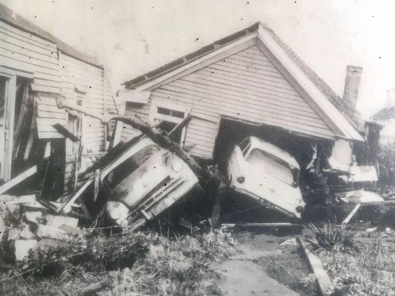
Tsunami! The first great surge of offshore logs and debris deluged the town a few minutes before midnight. As panicked townspeople fought to clear the wreckage that choked downtown streets, second and third waves rolled in. Finally came the horrifying fourth - a raging torrent that claimed 11 lives, collapsed powerlines, strewed vehicles and buildings over the landscape like toys, and left 29 city blocks in ruins.
Topics. This historical marker is listed in this topic list: Disasters. A significant historical date for this entry is March 28, 1964.
Location. 41° 45.099′ N, 124° 11.651′ W. Marker is in Crescent City, California, in Del Norte County. Marker is at the intersection of Front Street and Play Street, on the left when traveling south on Front Street. Touch for map. Marker is at or near this postal address: 1001 Front St, Crescent City CA 95531, United States of America. Touch for directions.
Other nearby markers. At least 8 other markers are within walking distance of this marker. Tsunamis are Synonymous With Crescent City (about 500 feet away, measured in a direct line); Redwood National Park (about 500 feet away); Crescent City Tsunami, 1964 (about 500 feet away); S.S. Emidio (about 800 feet away); Remembering Billy Boone (approx. 0.2 miles away); Tetrapod (approx. 0.2 miles away); Dedication to Henry Sause, Jr. (approx. 0.4 miles away); Battery Point Lighthouse (approx. 0.7 miles away). Touch for a list and map of all markers in Crescent City.
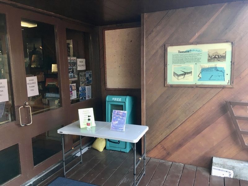
More about this marker. Located at the front door of the Official Crescent City - Del Norte County Visitor Center.
Regarding Tsunami !. The harbor has unique topography that funnels tsunamis into it. Re-design and reconstruction of the harbor to make it tsunami-resistant was completed in 2014.
Also see . . . Visitor Center. (Submitted on October 12, 2021.)
Credits. This page was last revised on October 12, 2021. It was originally submitted on October 12, 2021, by Craig Baker of Sylmar, California. This page has been viewed 208 times since then and 28 times this year. Photos: 1, 2, 3, 4, 5. submitted on October 12, 2021, by Craig Baker of Sylmar, California.
